
1949 Map of Cedar City NW
USGS Topo · Published 1949About this map
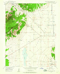
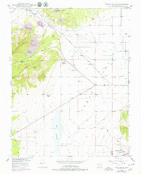
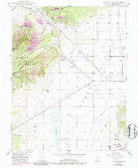
The mining landscape of Granite Mountain dominates this mid-century survey of the Cedar Valley region. Iron ore extraction is evident through numerous workings like the Smith Mine, Vermilion Mine, and the East Pioche Mine, while the Great Western Mine and Armstrong Mine are noted as inactive by 1949. These industrial sites are concentrated around Iron Springs, where the Union Pacific railroad cuts through the terrain to serve the mineral interests of the era.
Find a feature on this map
26 named features on this map. Tap any name to fly to it.
Don’t see what you’re looking for? This feature index may not catch every label — zoom into the map to look around manually.
Map Details
Editions of this 1949 Cedar City NW Map
4 editions found
Other maps of this area

1885 · St. George
USGS Topo · 1:250,000

1891 · St. George
USGS Topo · 1:250,000

1950 · Cedar City NW
USGS Topo · 1:24,000

1950 · Kanarraville
USGS Topo · 1:24,000

1950 · Enoch
USGS Topo · 1:24,000

1950 · Cedar City
USGS Topo · 1:24,000

1950 · Enoch
USGS Topo · 1:62,500

1950 · Iron Mountain
USGS Topo · 1:62,500

1950 · Cedar City
USGS Topo · 1:62,500

1950 · The Three Peaks
USGS Topo · 1:24,000