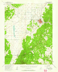
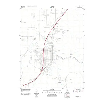
1950 Map of Cedar City
USGS Topo · Published 1959About this map
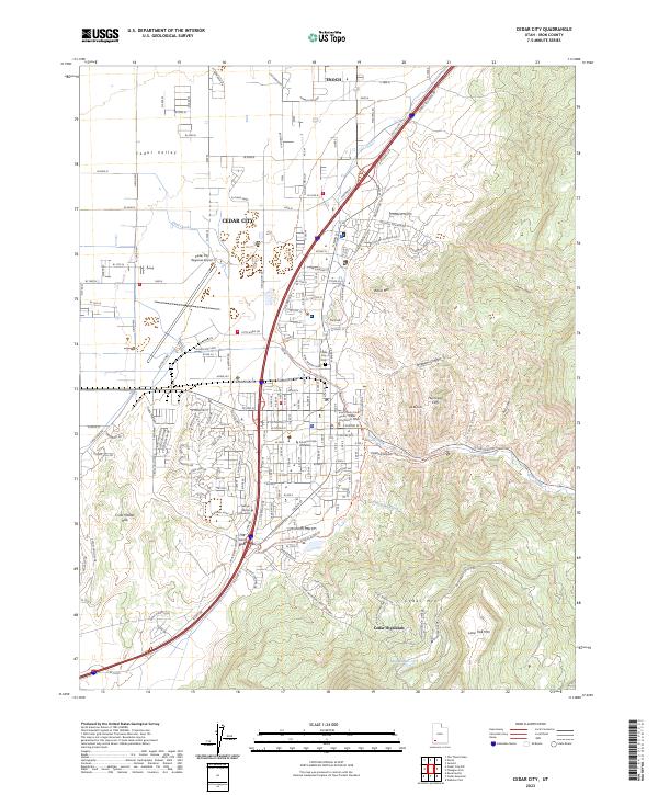
Cedar City serves as the industrial and academic anchor of this mid-century landscape, home to the College of Southern Utah and the Cedar City Municipal Airport. The map captures a period of significant extraction, with the Union Pacific railroad lines connecting the city to a network of active resource sites, including the Iron Springs Mine and West Pioche Mine to the northwest. To the south and east, the terrain shifts into the high plateaus of the Zion National Park (Kolob Section) and Kanarra Mountain. The water patterns of the valley are defined by Quichapa Lake and the various irrigation efforts like the Union Field Ditch. Settlements like Hamiltons Fort and Kanarraville are clearly marked along the highway corridor, while smaller industrial footprints like the Tucker Coal Mine are found tucked into the eastern canyons.
Find a feature on this map
101 named features on this map. Tap any name to fly to it.
Don’t see what you’re looking for? This feature index may not catch every label — zoom into the map to look around manually.
Map Details
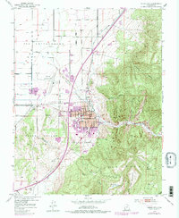
Editions of this 1950 Cedar City Map
This is the sole edition of this map. No revisions or reprints were ever made.
Historical Maps of Cedar City Through Time
11 maps found
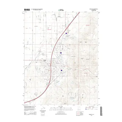
1950 Cedar City
Iron County, UT
1950 Cedar City
Iron County, UT
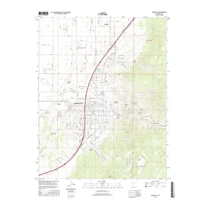
1953 Cedar City
Iron County, UT

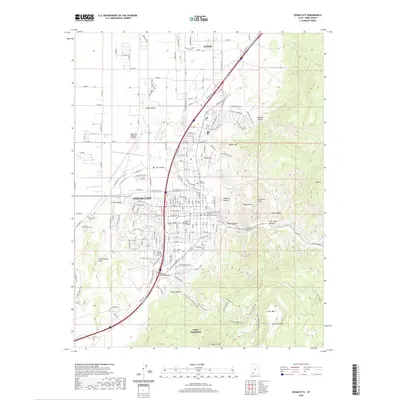
1958 Cedar City
Iron County, UT

1962 Cedar City
Iron County, UT
1982 Cedar City
Iron County, UT
2011 Cedar City
Iron County, UT
2014 Cedar City
Iron County, UT
2017 Cedar City
Iron County, UT
2020 Cedar City
Iron County, UT
2023 Cedar City
Iron County, UT