
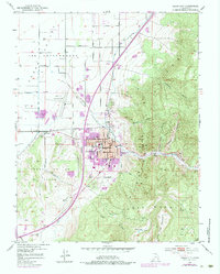
1950 Map of Cedar City
USGS Topo · Published 1952About this map
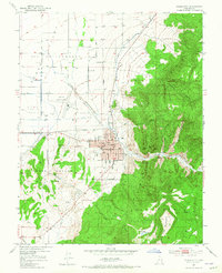
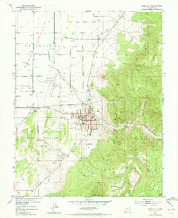
Cedar City serves as the focal point of this mid-century survey, situated at the dramatic meeting point of the Cedar Valley floor and the rising Hurricane Cliffs. The grid of the town is already well-established, anchored by civic and educational institutions like City Hall, the High Sch, and the Branch Agricultural College. Economic activity is clearly defined by the Union Pacific rail line, which supports the Stock Yards on the western edge of town, while a Coal Mine in Cedar Canyon along Coal Creek points to the area's extraction history. To the west, the Cedar City Municipal Airport and its associated Airway Beacon mark the early era of regional aviation. The surrounding landscape is a mix of agricultural utility, seen in the Irrigation Ditch and various levees, and prominent landforms such as The Red Hill and White Mtn.
Find a feature on this map
41 named features on this map. Tap any name to fly to it.
Don’t see what you’re looking for? This feature index may not catch every label — zoom into the map to look around manually.
Map Details
Editions of this 1950 Cedar City Map
6 editions found
Other maps of this area

1885 · St. George
USGS Topo · 1:250,000

1886 · Kanab
USGS Topo · 1:250,000

1891 · St. George
USGS Topo · 1:250,000

1949 · Cedar City NW
USGS Topo · 1:24,000

1950 · Cedar City NW
USGS Topo · 1:24,000

1950 · Kanarraville
USGS Topo · 1:24,000

1950 · Enoch
USGS Topo · 1:24,000

1950 · Enoch
USGS Topo · 1:62,500

1950 · Cedar City
USGS Topo · 1:62,500

1950 · The Three Peaks
USGS Topo · 1:24,000