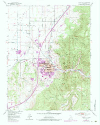
1950 Map of Cedar City
USGS Topo · Published 1984About this map
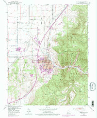
Cedar City serves as the focal point of this mid-century survey, positioned where the high Cedar Mountain plateau meets the agricultural expanses of the Cedar Valley. The map documents the early campus of the College of Southern Utah and the civic infrastructure of the era, including the City Hall, Post Office, and a prominent Cemetery on the edge of town. The landscape is defined by the dramatic ascent of the Hurricane Cliffs, with Coal Creek carving a path through the mountains.
Find a feature on this map
35 named features on this map. Tap any name to fly to it.
Don’t see what you’re looking for? This feature index may not catch every label — zoom into the map to look around manually.
Map Details
Editions of this 1950 Cedar City Map
6 editions found
Other maps of this area

1885 · St. George
USGS Topo · 1:250,000

1886 · Kanab
USGS Topo · 1:250,000

1891 · St. George
USGS Topo · 1:250,000

1949 · Cedar City NW
USGS Topo · 1:24,000

1950 · Cedar City NW
USGS Topo · 1:24,000

1950 · Kanarraville
USGS Topo · 1:24,000

1950 · Enoch
USGS Topo · 1:24,000

1950 · Cedar City
USGS Topo · 1:24,000

1950 · Enoch
USGS Topo · 1:62,500

1950 · Cedar City
USGS Topo · 1:62,500