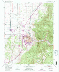
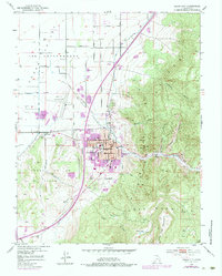
1950 Map of Cedar City
USGS Topo · Published 1984About this map
Cedar City sits at the dramatic transition between the flat Cedar Valley and the steep rising slopes of the Cedar Mountain range. This mid-century view shows the community anchored by the College of Southern Utah and the civic core surrounding City Hall. The local economy of the era is evident in the infrastructure supporting both agriculture and transportation, with the Union Pacific line serving the Stock Yards on the western edge of town.
Find a feature on this map
32 named features on this map. Tap any name to fly to it.
Don’t see what you’re looking for? This feature index may not catch every label — zoom into the map to look around manually.
Map Details
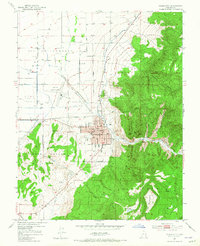
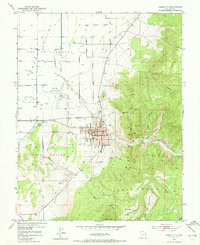
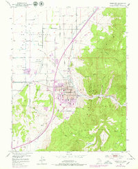
Editions of this 1950 Cedar City Map
6 editions found
Other maps of this area

1885 · St. George
USGS Topo · 1:250,000

1886 · Kanab
USGS Topo · 1:250,000

1891 · St. George
USGS Topo · 1:250,000

1949 · Cedar City NW
USGS Topo · 1:24,000

1950 · Cedar City NW
USGS Topo · 1:24,000

1950 · Kanarraville
USGS Topo · 1:24,000

1950 · Enoch
USGS Topo · 1:24,000

1950 · Cedar City
USGS Topo · 1:24,000

1950 · Enoch
USGS Topo · 1:62,500

1950 · Cedar City
USGS Topo · 1:62,500