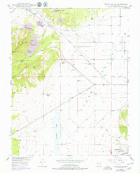
1949 Map of Cedar City NW
USGS Topo · Published 1979About this map
Granite Mountain and the Eightmile Hills dominate the western half of this Iron County landscape, where the rugged topography met a mid-century mining economy. The survey documents several mineral interests including the West Pioche Mine, East Pioche Mine, and the Lindsay Hill Mine, alongside sites listed as inactive by 1949 such as the Great Western Mine and Armstrong Mine.
Find a feature on this map
24 named features on this map. Tap any name to fly to it.
Don’t see what you’re looking for? This feature index may not catch every label — zoom into the map to look around manually.
Map Details
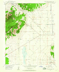
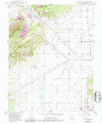
Editions of this 1949 Cedar City NW Map
4 editions found
Other maps of this area

1885 · St. George
USGS Topo · 1:250,000

1891 · St. George
USGS Topo · 1:250,000

1949 · Cedar City NW
USGS Topo · 1:24,000

1950 · Cedar City NW
USGS Topo · 1:24,000

1950 · Kanarraville
USGS Topo · 1:24,000

1950 · Enoch
USGS Topo · 1:24,000

1950 · Cedar City
USGS Topo · 1:24,000

1950 · Enoch
USGS Topo · 1:62,500

1950 · Iron Mountain
USGS Topo · 1:62,500

1950 · Cedar City
USGS Topo · 1:62,500