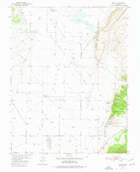
1950 Map of Enoch
USGS Topo · Published 1977About this map
The high desert landscape of Cedar Valley and the Hurricane Cliffs is captured here during a mid-century period of transition. Agricultural activity is well-defined by family-named landmarks such as Adams Ranch, Leigh Farm, and Clark Ranch, which dot the plains surrounding the settlement of Enoch. The map documents significant historical footprints in the form of the Stevensville (Site) and Fort Johnson (Site), providing valuable data for those researching early settlement patterns and pioneer history in Iron County. Water management is a primary feature of the terrain, visible through the Enoch Ditch (Abandoned) and the seasonal Rush Lake. The southern portion of the sheet is largely occupied by the Cedar City Upland State Game Sanctuary, while several named springs like Bell Spr and Jones Spr highlight the critical water sources that sustained these isolated communities and ranches.
Find a feature on this map
29 named features on this map. Tap any name to fly to it.
Don’t see what you’re looking for? This feature index may not catch every label — zoom into the map to look around manually.
Map Details
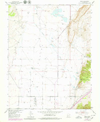
Editions of this 1950 Enoch Map
3 editions found
Other maps of this area

1885 · St. George
USGS Topo · 1:250,000

1886 · Kanab
USGS Topo · 1:250,000

1891 · St. George
USGS Topo · 1:250,000

1949 · Cedar City NW
USGS Topo · 1:24,000

1950 · Cedar City NW
USGS Topo · 1:24,000

1950 · Enoch
USGS Topo · 1:24,000

1950 · Cedar City
USGS Topo · 1:24,000

1950 · Enoch
USGS Topo · 1:62,500

1950 · Cedar City
USGS Topo · 1:62,500

1950 · The Three Peaks
USGS Topo · 1:24,000