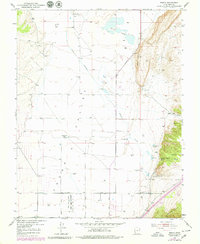
1950 Map of Enoch
USGS Topo · Published 1979About this map
The Hurricane Cliffs dominate the eastern landscape of this Iron County valley, where the settlement of Enoch was established near vital water sources like Jones Spr and Bell Spr. The map records the early footprints of the region's agricultural and frontier history, noting the Fort Johnson (Site) and the Stevensville (Site), as well as the Enoch Cem south of the main town. To the north, Rush Lake and the Enoch Ditch (Abandoned) indicate the critical role of water management in this arid environment. Ranching and farming operations are clearly marked, including Adams Ranch, Leigh Farm, and Clark Ranch, connected by a network of local thoroughfares such as Minersville Road and Mid-Valley Road. Much of the southwestern portion is dedicated to the Cedar City Upland State Game Sanctuary, preserving the natural character of the valley floor.
Find a feature on this map
35 named features on this map. Tap any name to fly to it.
Don’t see what you’re looking for? This feature index may not catch every label — zoom into the map to look around manually.
Map Details
Editions of this 1950 Enoch Map
3 editions found
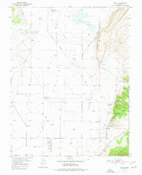
Other maps of this area

1885 · St. George
USGS Topo · 1:250,000

1886 · Kanab
USGS Topo · 1:250,000

1891 · St. George
USGS Topo · 1:250,000

1949 · Cedar City NW
USGS Topo · 1:24,000

1950 · Cedar City NW
USGS Topo · 1:24,000

1950 · Enoch
USGS Topo · 1:24,000

1950 · Cedar City
USGS Topo · 1:24,000

1950 · Enoch
USGS Topo · 1:62,500

1950 · Cedar City
USGS Topo · 1:62,500

1950 · The Three Peaks
USGS Topo · 1:24,000