
1953 Map of Cedar City
USGS Topo · Published 1966About this map
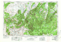
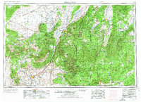
Silver Reef stands as a notable historical site on this mid-century survey, marking a rare deposit where silver and uranium were found in sandstone. The settlement patterns of Southwest Utah are clearly defined by the corridor of U.S. 91 and the Union Pacific railroad, which serve as the backbone connecting Cedar City to St George. The landscape is dominated by the dramatic geological transitions of the Grand Staircase, from the Hurricane Cliffs in the west to the Pink Cliffs and the high elevations of the Markagunt Plateau.
Find a feature on this map
169 named features on this map. Tap any name to fly to it.
Don’t see what you’re looking for? This feature index may not catch every label — zoom into the map to look around manually.
Map Details
Editions of this 1953 Cedar City Map
3 editions found
Other maps of this area

1885 · St. George
USGS Topo · 1:250,000

1885 · Beaver
USGS Topo · 1:250,000

1885 · Fish Lake
USGS Topo · 1:250,000

1885 · Pioche
USGS Topo · 1:250,000

1886 · Kanab
USGS Topo · 1:250,000

1886 · Escalante
USGS Topo · 1:250,000

1886 · Saint Thomas
USGS Topo · 1:250,000

1886 · Mt. Trumbull
USGS Topo · 1:250,000

1886 · Echo Cliffs
USGS Topo · 1:250,000

1886 · Pioche
USGS Topo · 1:250,000