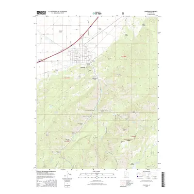
2017 Map of Parowan
USGS Topo · Published 2017About this map
Parowan sits at the edge of the Parowan Valley, where the steep rise of the Hurricane Cliffs meets the basin floor. This 2017 survey shows the city's grid-patterned streets extending toward the Parowan City Cem and the Parowan Airport, while the Hurricane Fault traces a sharp geological boundary just east of town. The landscape transitions abruptly from the valley's irrigation and infrastructure to the high, complex drainages of the Markagunt Plateau.
Find a feature on this map
65 named features on this map. Tap any name to fly to it.
Don’t see what you’re looking for? This feature index may not catch every label — zoom into the map to look around manually.
Map Details
Editions of this 2017 Parowan Map
This is the sole edition of this map. No revisions or reprints were ever made.
Other maps of this area

1886 · Kanab
USGS Topo · 1:250,000

1953 · Cedar City
USGS Topo · 1:250,000

1958 · Cedar City
USGS Topo · 1:250,000

1958 · Cedar Breaks
USGS Topo · 1:62,500

1958 · Panguitch Lake
USGS Topo · 1:62,500

1962 · Cedar City
USGS Topo · 1:250,000

1971 · Paragonah
USGS Topo · 1:24,000
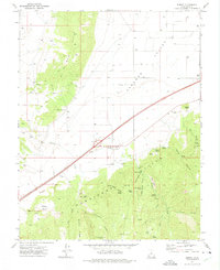
1971 · Summit
USGS Topo · 1:24,000
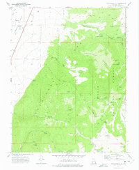
1971 · Cottonwood Mtn
USGS Topo · 1:24,000

1971 · Parowan
USGS Topo · 1:24,000