
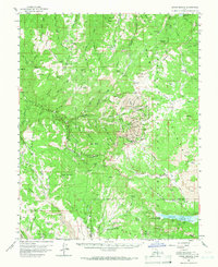
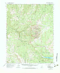
1958 Map of Cedar Breaks
USGS Topo · Published 1960About this map
Cedar Breaks National Monument and the surrounding high plateaus of the Dixie National Forest define this 1958 survey. The landscape is marked by extreme elevation changes, from the sheer drops of the Highleap and the Quarry to the towering height of Brian Head. Water systems are central to the region's geography, featuring the Yankee Mdws Reservoir in the north and the expansive Navajo Lake to the south, where Cascade Falls marks a significant drainage point.
Find a feature on this map
135 named features on this map. Tap any name to fly to it.
Don’t see what you’re looking for? This feature index may not catch every label — zoom into the map to look around manually.
Map Details
Editions of this 1958 Cedar Breaks Map
3 editions found
Other maps of this area

1885 · St. George
USGS Topo · 1:250,000

1886 · Kanab
USGS Topo · 1:250,000

1891 · St. George
USGS Topo · 1:250,000

1950 · Enoch
USGS Topo · 1:24,000

1950 · Cedar City
USGS Topo · 1:24,000

1950 · Enoch
USGS Topo · 1:62,500

1950 · Cedar City
USGS Topo · 1:62,500

1950 · Cedar Mountain
USGS Topo · 1:24,000

1952 · Cedar Mountain
USGS Topo · 1:24,000

1953 · Cedar City
USGS Topo · 1:250,000