
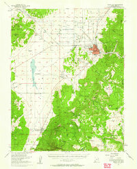
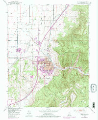
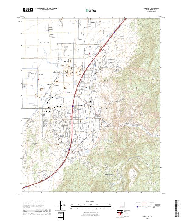
1962 Map of Cedar City
USGS Topo · Published 1962About this map
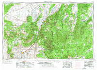
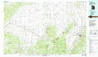
Cedar City and St George serve as the primary hubs in this mid-century western Utah landscape, where the high plateaus of the Markagunt Plateau and Paunsaugunt Plateau drop away into the desert basins. The geography is defined by massive geological staircases including the Pink Cliffs, White Cliffs, and Vermilion Cliffs, which frame iconic protected lands like Zion National Park and Bryce Canyon National Park.
Find a feature on this map
174 named features on this map. Tap any name to fly to it.
Don’t see what you’re looking for? This feature index may not catch every label — zoom into the map to look around manually.
Map Details
Editions of this 1962 Cedar City Map
This is the sole edition of this map. No revisions or reprints were ever made.
Historical Maps of St. George Through Time
11 maps found
1950 Cedar City
Iron County, UT
1950 Cedar City
Iron County, UT
1953 Cedar City
Iron County, UT

1958 Cedar City
Iron County, UT
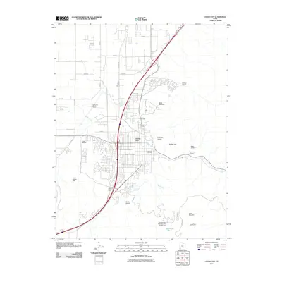
1962 Cedar City
Iron County, UT
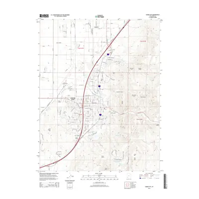
1982 Cedar City
Iron County, UT
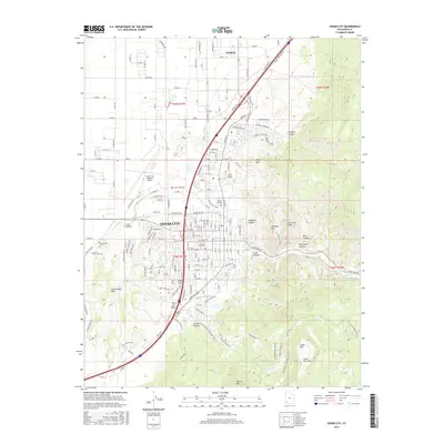
2011 Cedar City
Iron County, UT
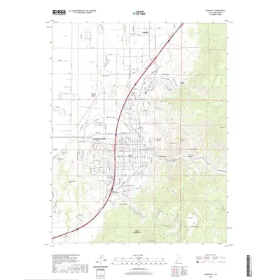
2014 Cedar City
Iron County, UT
2017 Cedar City
Iron County, UT
2020 Cedar City
Iron County, UT
2023 Cedar City
Iron County, UT