2000s (21st Century) Maps of Parowan, Utah
Explore 11 historic maps of Parowan from the 2000s (21st Century). These maps offer a rare glimpse into what life looked like during the 2000s — showing old roads, neighborhoods, homes, and landmarks that have changed or disappeared over time.
Whether you're researching your family's past, planning a metal detecting trip, or studying how Parowan's landscape evolved across the 2000s, these high-resolution maps are a powerful tool for exploring the history of this region.
- Focus on a specific era: All maps on this page are from the 2000s, giving you a focused view of this time period.
- See what’s changed: Compare century-old streets, trails, and buildings to today's modern landscape using overlays and satellite layers.
- Research with precision: Use these maps for genealogy, historical research, land use analysis, or educational projects.
- View, download, or print: Maps are fully viewable online in high resolution, and can be downloaded or printed for your own records.
Start exploring Parowan's history through authentic maps from the 2000s. This is your window into the past.
Parowan, UT maps
(11)- 2002 Map of Parowan, 2005 Print
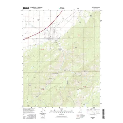
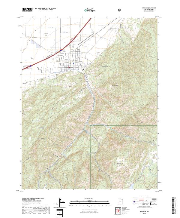
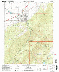 2002 Parowan2005 Print · USGSParowan sits at the foot of the Hurricane Cliffs during a period of steady growth in the high desert of Iron County. Researchers can trace the town's expansion toward the City Airport and locate landmarks like the Cem and Parowan High Sch.
 - 2010 Map of Summit, 2010 Print
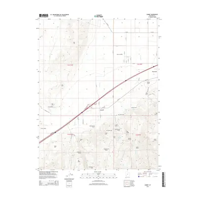
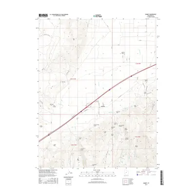
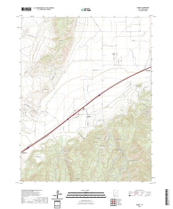
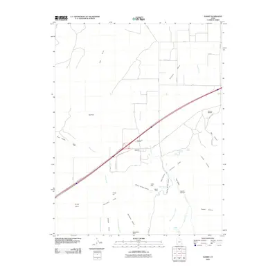 2010 Summit2010 Print · USGSCovers Parowan, including Enoch, Summit, and other nearby areas
 - 2011 Map of Parowan, 2011 Print
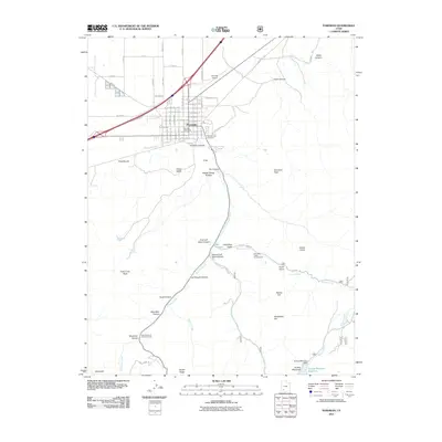 2011 Parowan2011 Print · USGSCovers Parowan, including Iron County, United States, and other nearby areas
 - 2014 Map of Parowan, 2014 Print
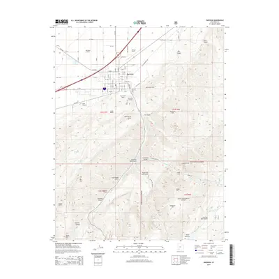 2014 Parowan2014 Print · USGSCovers Parowan, including Iron County, United States, and other nearby areas
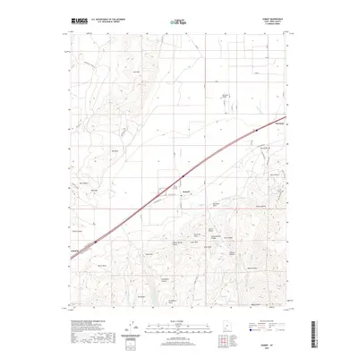
 - 2014 Map of Summit, 2014 Print
 2014 Summit2014 Print · USGSCovers Parowan, including Enoch, Summit, and other nearby areas
 - 2017 Map of Parowan, 2017 Print
 2017 Parowan2017 Print · USGSCovers Parowan, including Iron County, United States, and other nearby areas
 - 2017 Map of Summit, 2017 Print
 2017 Summit2017 Print · USGSCovers Parowan, including Enoch, Summit, and other nearby areas
 - 2020 Map of Parowan, 2020 Print
 2020 Parowan2020 Print · USGSCovers Parowan, including Iron County, United States, and other nearby areas
 - 2020 Map of Summit, 2020 Print
 2020 Summit2020 Print · USGSCovers Parowan, including Enoch, Summit, and other nearby areas
 - 2023 Map of Parowan, 2023 Print
 2023 Parowan2023 Print · USGSParowan and the surrounding Iron County high country are documented in this recent survey, capturing the town where the desert valley meets the cliffs. Genealogists and local historians can trace the town grid to the Parowan City Cem or follow backcountry routes toward Yankee Meadows and Noahs Ark.
 - 2023 Map of Summit, 2023 Print
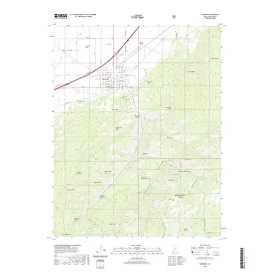
 2023 Summit2023 Print · USGSIron County at the edge of the Hurricane Cliffs shows a landscape of high-altitude ridges and valley settlements. Researchers can trace the layout of Summit, locate the Summit City Cem, and follow the path of Old US Hwy 91.
End of results
Showing maps 1-11 of 11
Top cities near Parowan
- Cedar City historical maps
- Enoch historical maps
- Paragonah historical maps
- Summit historical maps
- Brian Head historical maps
Frequently asked questions
- What are the different types of historical maps available for Parowan?
- What is the oldest map of Parowan?
- Where can I purchase historical maps of Parowan for my home or office?
- Where can I download high-res historical maps of Parowan?
- Are there historical topographic maps available for Parowan?
- Is there historical aerial imagery available for Parowan?
- Where are historical maps of Parowan sourced from?