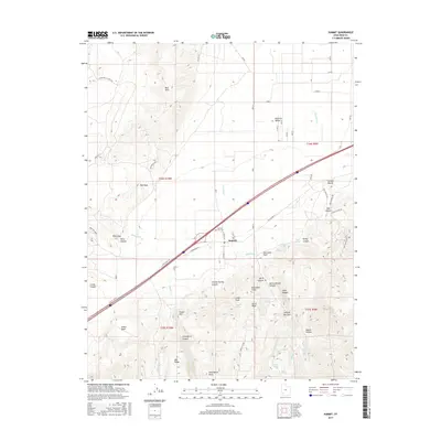
2017 Map of Summit
USGS Topo · Published 2017About this map
Summit lies at the geographic heart of this study, positioned where the southern Parowan Valley meets the dramatic geological rise of the Hurricane Cliffs. The settlement's history is tied to the land, reflected in the Summit City Cem and the surrounding network of canyons such as Cheney Spring Canyon and Dalley Canyon. This landscape is fundamentally shaped by the Hurricane Fault, a massive geological structure that defines the transition from the valley floor to the high ridges of Cedar Peak and Spirit Peak.
Find a feature on this map
52 named features on this map. Tap any name to fly to it.
Don’t see what you’re looking for? This feature index may not catch every label — zoom into the map to look around manually.
Map Details
Editions of this 2017 Summit Map
This is the sole edition of this map. No revisions or reprints were ever made.
Other maps of this area

1885 · St. George
USGS Topo · 1:250,000

1886 · Kanab
USGS Topo · 1:250,000

1891 · St. George
USGS Topo · 1:250,000

1950 · Enoch
USGS Topo · 1:24,000

1950 · Cedar City
USGS Topo · 1:24,000

1950 · Enoch
USGS Topo · 1:62,500

1950 · Cedar City
USGS Topo · 1:62,500

1950 · Enoch NE
USGS Topo · 1:24,000

1952 · Enoch NE
USGS Topo · 1:24,000

1953 · Cedar City
USGS Topo · 1:250,000