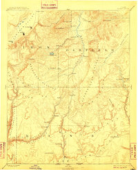
1886 Map of Kanab
USGS Topo · Published 1910About this map
Kanab and the high desert landscapes of southern Utah are documented in this late nineteenth-century survey, captured before the development of modern infrastructure. The map reveals a series of Mormon settlements established along the river valleys, including Orderville, Glendale, and Mt Carmel along the upper reaches of the Virgin River. The dramatic geological staircase of the region is clearly delineated, showing the succession from the Vermilion Cliffs and White Cliffs up to the high timbered reaches of the Markagunt Plateau and Paunsaugunt Plateau. In the north, the waters of Panguitch Lake and the Sevier River support early ranching and farming communities like Panguitch and Hillsdale. This era shows the region as a network of isolated outposts connected by primitive trails, where water sources like Buckhorn Spring and Sixteen Mile Spring were critical for travel between the rugged canyons of Mukuntuweap Canyon and Parunuweap Canyon.
Find a feature on this map
53 named features on this map. Tap any name to fly to it.
Don’t see what you’re looking for? This feature index may not catch every label — zoom into the map to look around manually.
Map Details
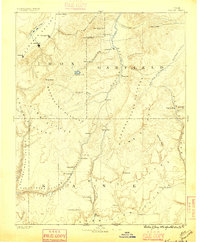
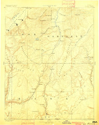
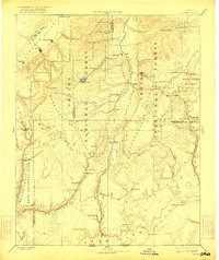
Editions of this 1886 Kanab Map
5 editions found
Other maps of this area

1885 · St. George
USGS Topo · 1:250,000

1885 · Beaver
USGS Topo · 1:250,000

1885 · Fish Lake
USGS Topo · 1:250,000

1886 · Kanab
USGS Topo · 1:250,000

1886 · Escalante
USGS Topo · 1:250,000

1886 · Mt. Trumbull
USGS Topo · 1:250,000

1886 · Echo Cliffs
USGS Topo · 1:250,000

1886 · Kaibab
USGS Topo · 1:250,000

1891 · St. George
USGS Topo · 1:250,000

1891 · Echo Cliffs
USGS Topo · 1:250,000