
1951 Map of Avon NW
USGS Topo · Published 1952About this map
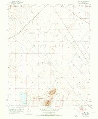
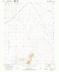
Escalante Desert dominates this 1951 landscape, where the arid plains of Iron County are defined by a sparse but vital network of water sources and infrastructure. The Union Pacific railroad cuts diagonally across the northern portion of the sheet, providing the primary connection through this isolated terrain. Human presence is centered on the Johnston Ranch and a series of deep-desert water points including Websters Well, a labeled Well, and a Water Tank positioned along the rail line.
Find a feature on this map
10 named features on this map. Tap any name to fly to it.
Don’t see what you’re looking for? This feature index may not catch every label — zoom into the map to look around manually.
Map Details
Editions of this 1951 Avon NW Map
3 editions found
Other maps of this area

1885 · St. George
USGS Topo · 1:250,000

1891 · St. George
USGS Topo · 1:250,000

1950 · Antelope Peak
USGS Topo · 1:24,000

1950 · Avon SE
USGS Topo · 1:24,000

1951 · Avon SE
USGS Topo · 1:24,000

1951 · Avon
USGS Topo · 1:24,000

1953 · Richfield
USGS Topo · 1:250,000

1953 · Cedar City
USGS Topo · 1:250,000

1958 · Richfield
USGS Topo · 1:250,000

1958 · Cedar City
USGS Topo · 1:250,000