
2020 Map of White Mountain
USGS Topo · Published 2020About this map
Antelope Peak and the high ridges of the Shauntie Hills define this arid landscape in Beaver County. The terrain is characterized by prominent elevations and drainages, including the central White Mtn and the eastern slopes of Long Lick Mtn. This 2020 survey records the network of local roads and 4WD tracks that navigate the high desert, providing access to isolated water sources such as Mertons Spring. In the northern portion of the map, Grover Wash cuts through the topography, reflecting the natural drainage patterns of this high-elevation region. The absence of major settlements emphasizes the wilderness character of these uplands, where the primary infrastructure consists of simple tracks traversing the gaps between peaks.
Find a feature on this map
6 named features on this map. Tap any name to fly to it.
Don’t see what you’re looking for? This feature index may not catch every label — zoom into the map to look around manually.
Map Details
Editions of this 2020 White Mountain Map
This is the sole edition of this map. No revisions or reprints were ever made.
Other maps of this area

1953 · Richfield
USGS Topo · 1:250,000

1958 · Richfield
USGS Topo · 1:250,000

1958 · Thermo
USGS Topo · 1:62,500

1958 · Milford
USGS Topo · 1:62,500

1959 · Frisco
USGS Topo · 1:62,500
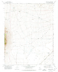
1971 · Burns Knoll
USGS Topo · 1:24,000
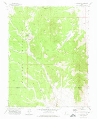
1971 · Blue Mountain
USGS Topo · 1:24,000

1980 · Wah Wah Mts. South
USGS Topo · 1:100,000
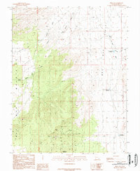
1989 · Frisco SW
USGS Topo · 1:24,000
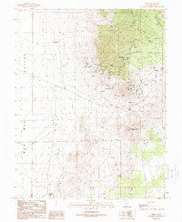
1989 · Frisco
USGS Topo · 1:24,000