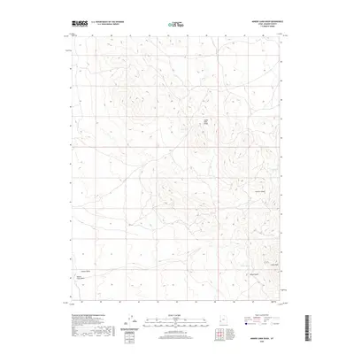
2020 Map of Miners Cabin Wash
USGS Topo · Published 2020About this map
Indian Peak Range dominates the eastern half of this Beaver County landscape, where extreme elevation changes define the transition from high summits to the broad basin of Hamlin Valley. This modern topographical study reveals a network of high-altitude water sources essential to the arid climate, including Ryan Spring, Chokecherry Spring, and Willow Spring. The namesake Miners Cabin Wash cuts through the southwestern corner, suggesting a history of prospecting and seasonal habitation in these remote reaches. Notable landmarks such as Marys Nipple and Indian Peak provide distinct navigational points for those tracing historical land use or geological formations in this part of western Utah. To the northeast, the terrain is deeply incised by Greens Canyon, while Indian Cr drains the slopes near the southern boundary.
Find a feature on this map
10 named features on this map. Tap any name to fly to it.
Don’t see what you’re looking for? This feature index may not catch every label — zoom into the map to look around manually.
Map Details
Editions of this 2020 Miners Cabin Wash Map
This is the sole edition of this map. No revisions or reprints were ever made.
Other maps of this area

1953 · Richfield
USGS Topo · 1:250,000

1956 · Lund
USGS Topo · 1:250,000

1958 · Richfield
USGS Topo · 1:250,000

1960 · Lund
USGS Topo · 1:250,000

1971 · Pinto Spring
USGS Topo · 1:24,000

1971 · Sawtooth Peak
USGS Topo · 1:24,000

1971 · Atchison Creek
USGS Topo · 1:24,000

1972 · Gleason Basin
USGS Topo · 1:24,000

1972 · Hamlin Well
USGS Topo · 1:24,000

1972 · White Rock Peak
USGS Topo · 1:24,000