
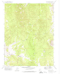
1972 Map of Gleason Basin
USGS Topo · Published 1974About this map
The White Rock Mountains dominate this high-desert landscape along the border of Nevada and Utah, creating a complex series of basins and drainages. The area is defined by its water sources, with isolated sites like The Hermitage and Mill Ranch Springs serving as vital landmarks in a terrain crisscrossed by a network of Jeep Trails. These tracks follow the natural contours of the land, connecting the high elevations of Alexander Basin and Gleason Basin to the lower washes.
Find a feature on this map
20 named features on this map. Tap any name to fly to it.
Don’t see what you’re looking for? This feature index may not catch every label — zoom into the map to look around manually.
Map Details
Editions of this 1972 Gleason Basin Map
This is the sole edition of this map. No revisions or reprints were ever made.
Other maps of this area

1953 · Richfield
USGS Topo · 1:250,000

1956 · Lund
USGS Topo · 1:250,000

1958 · Richfield
USGS Topo · 1:250,000

1960 · Lund
USGS Topo · 1:250,000

1971 · Atchison Creek
USGS Topo · 1:24,000

1972 · Rosencrans Knolls
USGS Topo · 1:24,000

1972 · Hamlin Well
USGS Topo · 1:24,000

1972 · White Rock Peak
USGS Topo · 1:24,000
1972 · Lopers Spring
USGS Topo · 1:24,000

1972 · Buck Wash Well
USGS Topo · 1:24,000