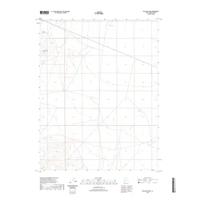
2020 Map of Wallaces Peak
USGS Topo · Published 2020About this map
Wallaces Peak anchors this corner of Beaver County, where the high desert landscape is defined by its scarce but vital water sources. The map records the isolated Squire Family Cem in the northwest, providing a specific point of interest for genealogists tracing early settlement in this part of Utah. The hydrologic patterns show drainage through Quartz Cr and Willow Cr, while man-made and natural features like the Wintech Reservoir, Wah Wah Reservoir, and Wah Wah Springs reveal the historical reliance on managed water in an arid environment. The sparse road network and absence of large towns emphasize the open, rural nature of this territory in the 21st century.
Find a feature on this map
7 named features on this map. Tap any name to fly to it.
Don’t see what you’re looking for? This feature index may not catch every label — zoom into the map to look around manually.
Map Details
Editions of this 2020 Wallaces Peak Map
This is the sole edition of this map. No revisions or reprints were ever made.
Other maps of this area

1953 · Richfield
USGS Topo · 1:250,000

1958 · Richfield
USGS Topo · 1:250,000

1959 · Frisco
USGS Topo · 1:62,500

1960 · Frisco Peak
USGS Topo · 1:62,500

1960 · Wah Wah Summit
USGS Topo · 1:62,500

1971 · Sewing Machine Pass
USGS Topo · 1:24,000

1971 · Lamerdorf Peak
USGS Topo · 1:24,000

1980 · Wah Wah Mts. South
USGS Topo · 1:100,000

1980 · Wah Wah Mts. North
USGS Topo · 1:100,000
1989 · Frisco Peak
USGS Topo · 1:24,000