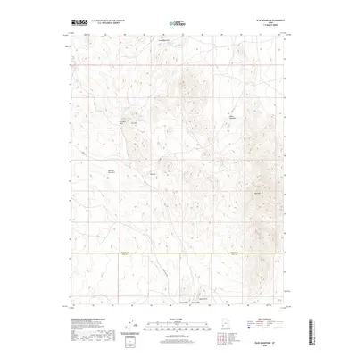
2020 Map of Blue Mountain
USGS Topo · Published 2020About this map
The Wah Wah Mountains dominate this high-desert landscape in southwestern Utah, where the terrain rises sharply into prominent peaks like Iron Mtn and Blue Mtn. This modern survey by the U.S. Geological Survey captures the intricate topography of the region, defined by deep drainage systems such as Iron Mine Wash and Fishers Wash. The presence of water sources like Iron Mine Spring and Bumblebee Spring near Bumblebee Mtn suggests the vital importance of these points for both historic livestock ranching and local wildlife.
Find a feature on this map
15 named features on this map. Tap any name to fly to it.
Don’t see what you’re looking for? This feature index may not catch every label — zoom into the map to look around manually.
Map Details
Editions of this 2020 Blue Mountain Map
This is the sole edition of this map. No revisions or reprints were ever made.
Other maps of this area

1953 · Richfield
USGS Topo · 1:250,000

1958 · Richfield
USGS Topo · 1:250,000

1959 · Frisco
USGS Topo · 1:62,500
1971 · Lund
USGS Topo · 1:24,000
1971 · Burns Knoll
USGS Topo · 1:24,000
1971 · Latimer
USGS Topo · 1:24,000
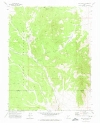
1971 · Blue Mountain
USGS Topo · 1:24,000
1971 · The Tetons
USGS Topo · 1:24,000

1971 · Lamerdorf Peak
USGS Topo · 1:24,000
1972 · Mountain Spring Peak
USGS Topo · 1:24,000