1970s Maps of Beaver County, Utah
Explore 26 historic maps of Beaver County from the 1970s. These maps offer a rare glimpse into what life looked like during the 1970s — showing old roads, neighborhoods, homes, and landmarks that have changed or disappeared over time.
Whether you're researching your family's past, planning a metal detecting trip, or studying how Beaver County's landscape evolved across the 1970s, these high-resolution maps are a powerful tool for exploring the history of this region.
- Focus on a specific era: All maps on this page are from the 1970s, giving you a focused view of this time period.
- See what’s changed: Compare century-old streets, trails, and buildings to today's modern landscape using overlays and satellite layers.
- Research with precision: Use these maps for genealogy, historical research, land use analysis, or educational projects.
- View, download, or print: Maps are fully viewable online in high resolution, and can be downloaded or printed for your own records.
Start exploring Beaver County's history through authentic maps from the 1970s. This is your window into the past.
Beaver County, UT maps
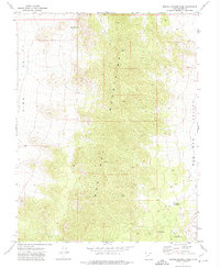
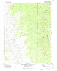
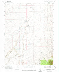
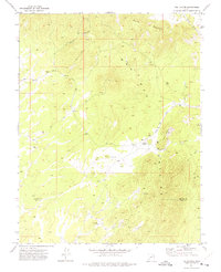
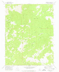
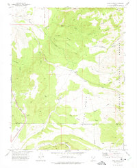
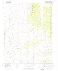
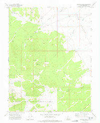
(26)- 1971 Map of Observation Knoll, 1974 Print
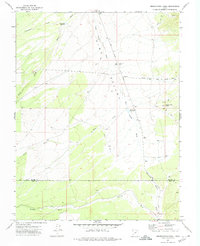 1971 Observation Knoll1974 Print · USGSSouthern Utah’s high desert basins are captured here in the early seventies as a landscape of remote ranching and seasonal water. Genealogists and historians can trace the Beaver Co and Iron Co line across Pine Valley Wash and near Sheep Creek Reservoir.
 - 1971 Map of Pine Grove Reservoir, 1974 Print
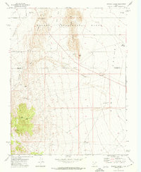
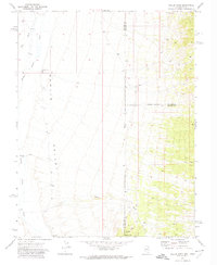
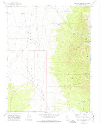 1971 Pine Grove Reservoir1974 Print · USGSBeaver County’s high-desert ranching and mountain terrain are captured here in the early seventies. Local history researchers can trace the vital water sources and routes of the day, from the Pine Valley Road to the Pine Grove Reservoir and Moonshine Spring.
 - 1971 Map of Pinto Spring, 1974 Print
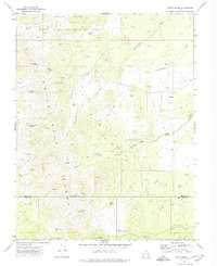 1971 Pinto Spring1974 Print · USGSThe high Indian Peak Range is captured here in the early 1970s, showing a remote landscape shaped by mineral prospecting and seasonal water sources. Researchers can trace historic mining activity at the Holt Bluebell Mine and Cougar Spar Mine or locate early water improvements at Merrils Camp Spring.
 - 1971 Map of Mountain Home Pass, 1974 Print
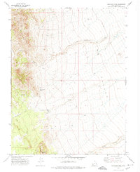
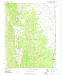 1971 Mountain Home Pass1974 Print · USGSHigh-desert rangeland and isolated peaks define this corner of Beaver and Millard Counties in the early 1970s. Researchers can trace remote water sources like Sand Spring and Cobb Spring or locate landmarks such as the Sheep Dip Trough and Mountain Home Pass.
 - 1971 Map of Sewing Machine Pass, 1974 Print
 1971 Sewing Machine Pass1974 Print · USGSThe Wah Wah Mountains divide Pine and Wah Wah Valleys in the early 1970s, revealing a landscape of remote springs and industrial remnants. Trace history at the Coke Ovens and Kiln Spring or navigate the route through Sewing Machine Pass.
 - 1971 Map of Halfway Summit, 1974 Print
 1971 Halfway Summit1974 Print · USGSSouthern Utah's high desert reaches are captured here in the early 1970s, showcasing the intersection of scientific land study and the rugged basin-and-range geography. Researchers and locals can trace remote water sources like Beers Tunnel Spring and landmarks such as Five Points or The Toad.
 - 1971 Map of Sawtooth Peak, 1974 Print
 1971 Sawtooth Peak1974 Print · USGSBeaver County’s high-desert terrain is captured here in the early 1970s, showcasing the transition from high peaks to valley floors. Researchers can trace remote water sources like Pots Sum Pa Spring and navigate the network of Jeep Trails near Sawtooth Peak.
 - 1971 Map of Burns Knoll, 1974 Print
 1971 Burns Knoll1974 Print · USGSThe Escante Desert stretches across the Beaver and Iron County line in the early 1970s, showing a remote landscape of rail and water. You can trace the Union Pacific railroad and locate historic watering spots like Moonshine Well and Lamoreaux Well.
 - 1971 Map of Atchison Creek, 1974 Print
 1971 Atchison Creek1974 Print · USGSThe high-desert border between Beaver and Iron counties comes into focus during the early 1970s. Local researchers can trace remote ranching and mining roots at the O'Grain Ranch, several Prospects, and water sources like Salt Cabin Spring.
 - 1971 Map of Lamerdorf Peak NW, 1974 Print
 1971 Lamerdorf Peak NW1974 Print · USGSBeaver County, Utah, was a landscape of remote ranching and conservation in the early seventies. Modern researchers can trace water-management history through features like the CCC Reservoir, Central Pine Reservoir, and family-named landmarks such as Jackson Wash.
 - 1971 Map of Blue Mountain, 1975 Print
 1971 Blue Mountain1975 Print · USGSThe high-desert terrain of Beaver and Iron counties is captured here in the early seventies, detailing a landscape shaped by mining and ranching. Trace old mineral claims and water sources like Iron Mine Spring, Jockey Road, and several Mine prospects.
 - 1971 Map of The Tetons, 1975 Print
 1971 The Tetons1975 Print · USGSThe high ridges of the Wah Wah Mountains are captured here in the early 1970s, marking a rugged landscape of mining and desert survival. Trace the network of primitive routes like Jockey Road and locate isolated water sources such as Jockey Spring and Sage Well.
 - 1971 Map of Lamerdorf Peak, 1975 Print
 1971 Lamerdorf Peak1975 Print · USGSThe Wah Wah Mountains of the early 1970s reveal a landscape of deep canyons and high-altitude mining claims. Researchers can trace the era's mineral exploration through the Revenue Mine, The Iron Mines, and the Charcoal Kilns near Lamerdorf Peak.
 - 1971 Map of Kane Canyon, 1975 Print
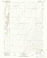
 1971 Kane Canyon1975 Print · USGSThe high desert of southern Utah in the early seventies is revealed through its remote ranching outposts and rugged canyon networks. Researchers can trace historic boundaries like the Old Military Reservation Boundary and locate isolated water sources such as Lees Spring and Coxs Ranch.
 - 1971 Map of Greenville Bench, 1975 Print
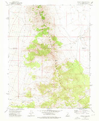
 1971 Greenville Bench1975 Print · USGSThe high desert north of the Iron County line is captured in the early 1970s, showing a landscape defined by irrigation and remote hollows. Trace water management through the Aberdare Canal and Barton Ditch, or locate landmarks like Beaver Municipal Airport.
 - 1971 Map of Circleville Mtn, 1975 Print
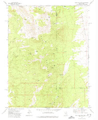
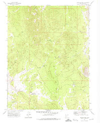
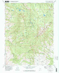 1971 Circleville Mtn1975 Print · USGSHigh in the Tushar Mountains during the early seventies, this survey captures a landscape of remote camps and vital water reservoirs. Researchers can trace historic trails to family landmarks like Fullmers Cabins, Briggs Camp, and Wards Cache.2 unique versions available
 - 1972 Map of Gleason Basin, 1974 Print
 1972 Gleason Basin1974 Print · USGSThe Nevada-Utah borderlands are captured here in the early seventies, showing a network of remote springs and high-altitude basins. Researchers can trace the winding Jeep Trails connecting The Hermitage to vital water sources like Mill Ranch Springs and Whiskey Spring.
 - 1972 Map of Hamlin Well, 1974 Print
 1972 Hamlin Well1974 Print · USGSHamlin Valley at the Nevada-Utah border remains a remote ranching frontier in the early seventies. Genealogists and desert historians can trace the routes of old Jeep Trails leading to vital water stops like Hamlin Well and the nearby Corral.
 - 1972 Map of Miller Wash, 1974 Print
 1972 Miller Wash1974 Print · USGSSpanning the Nevada and Utah border in the early seventies, this survey captures a remote ranching and transit landscape. Researchers can locate isolated landmarks like Tait Well and Miller Crossing or trace the path of the Jeep Trail near Miller Mountain.
 - 1972 Map of White Rock Peak, 1974 Print
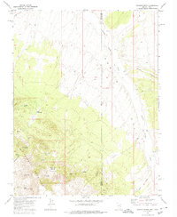
 1972 White Rock Peak1974 Print · USGSThe high Nevada-Utah borderlands come into focus in the early 1970s, showcasing a landscape of high summits and essential desert water sources. Researchers can locate remote high-country outposts like Scotty's Cabin and Reeds Cabin alongside landmarks like White Rock Peak.2 unique versions available
 - 1972 Map of Lopers Spring, 1974 Print
 1972 Lopers Spring1974 Print · USGSBeaver County's high-desert ranching and survey history comes into focus in the early 1970s. Trace old backcountry routes through the Mountain Home Range to find Lopers Cabin, remote Jeep Trails, and the striking peaks of The Needles.
 - 1972 Map of Buckhorn Spring, 1975 Print
 1972 Buckhorn Spring1975 Print · USGSWestern Utah’s high-desert landscape is documented here in the early seventies, showcasing a region defined by wildlife management and water scarcity. Researchers can trace remote Jeep Trails to find vital water sources like Buckhorn Spring, Vance Spring, and the slopes of the Indian Peak Range.
 - 1972 Map of Miners Cabin Wash, 1975 Print
 1972 Miners Cabin Wash1975 Print · USGSBeaver County’s high desert was a site of quiet industry and isolated outposts during the early seventies. Researchers can trace remote land use at the Mackelprang Homestead or locate mineral extraction sites like the Blue Jay Mine and Miners Cabin Wash.
 - 1973 Map of Pinnacle Pass, 1976 Print
 1973 Pinnacle Pass1976 Print · USGSThe Mineral Mountains of southern Utah are captured in the early 1970s, showing a landscape shaped by mining and exploration. Researchers can trace numerous Prospects, remote Jeep Trails, and essential desert water sources like Salt Cove Reservoir and Salt Spring.
 - 1973 Map of Read, 1976 Print
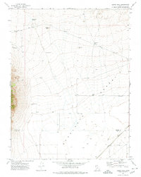
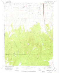
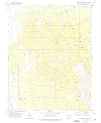
 1973 Read1976 Print · USGSThe western Utah desert near the Millard Co and Beaver Co line is documented here in the early seventies. You can trace the Union Pacific corridor through Read and Murdock or locate water sources like Negro Mag Wash and Spring.
Showing maps 1-25 of 26
Top cities of Beaver County
Frequently asked questions
- What are the different types of historical maps available for Beaver County?
- What is the oldest map of Beaver County?
- Where can I purchase historical maps of Beaver County for my home or office?
- Where can I download high-res historical maps of Beaver County?
- Are there historical topographic maps available for Beaver County?
- Is there historical aerial imagery available for Beaver County?
- Where are historical maps of Beaver County sourced from?