
1971 Map of Lamerdorf Peak
USGS Topo · Published 1975About this map
The Wah Wah Mountains of Beaver County define this 1971 topographic survey, revealing a landscape shaped by early mining activity and livestock grazing. Named peaks and ridges like Lamerdorf Peak rise above a complex network of canyons and washes, where water sources were essential for survival. The map records several specific springs that supported local operations, including Hospital Spring, Skellys Spring, and Lamerdorf Spring.
Find a feature on this map
30 named features on this map. Tap any name to fly to it.
Don’t see what you’re looking for? This feature index may not catch every label — zoom into the map to look around manually.
Map Details
Editions of this 1971 Lamerdorf Peak Map
This is the sole edition of this map. No revisions or reprints were ever made.
Other maps of this area

1953 · Richfield
USGS Topo · 1:250,000

1958 · Richfield
USGS Topo · 1:250,000

1959 · Frisco
USGS Topo · 1:62,500

1971 · Observation Knoll
USGS Topo · 1:24,000

1971 · Pine Grove Reservoir
USGS Topo · 1:24,000

1971 · Sewing Machine Pass
USGS Topo · 1:24,000

1971 · Lamerdorf Peak NW
USGS Topo · 1:24,000
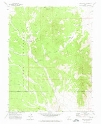
1971 · Blue Mountain
USGS Topo · 1:24,000
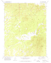
1971 · The Tetons
USGS Topo · 1:24,000

1980 · Wah Wah Mts. South
USGS Topo · 1:100,000