
1971 Map of Observation Knoll
USGS Topo · Published 1974About this map
Pine Valley dominates this high-elevation landscape in southern Utah, where the drainages of Cottonwood Creek and Sheep Creek descend from the western slopes toward Sheep Creek Reservoir. This early 1970s survey illustrates a region defined by seasonal water management and grazing infrastructure, evidenced by the presence of a Water Tank and several corrals. The eastern portion of the sheet is anchored by Observation Knoll, a prominent landmark surrounded by a network of jeep trails and a small prospect that suggests minor mineral exploration. The boundary between Beaver Co and Iron Co cuts directly across the southern half of the map, intersecting Mountain Spring Wash. Remote transportation is limited to rugged tracks like Jockey Road, which navigates the alluvial fans and washes that feed into Mackleprang Reservoir.
Find a feature on this map
15 named features on this map. Tap any name to fly to it.
Don’t see what you’re looking for? This feature index may not catch every label — zoom into the map to look around manually.
Map Details
Editions of this 1971 Observation Knoll Map
This is the sole edition of this map. No revisions or reprints were ever made.
Other maps of this area

1953 · Richfield
USGS Topo · 1:250,000

1958 · Richfield
USGS Topo · 1:250,000

1971 · Pine Grove Reservoir
USGS Topo · 1:24,000

1971 · Pinto Spring
USGS Topo · 1:24,000

1971 · Bible Spring
USGS Topo · 1:24,000
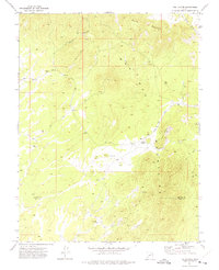
1971 · The Tetons
USGS Topo · 1:24,000

1971 · Lamerdorf Peak
USGS Topo · 1:24,000

1971 · Steamboat Mtn
USGS Topo · 1:24,000
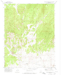
1972 · Mountain Spring Peak
USGS Topo · 1:24,000
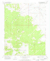
1972 · Buckhorn Spring
USGS Topo · 1:24,000