Old Maps of Beaver County, Utah for Metal Detecting
Plan your next treasure hunt with 151 historic maps of Beaver County. Find old homesites, ghost towns, trails, and gathering spots that may be lost to time — perfect for identifying promising metal detecting locations.
- Locate forgotten sites: Uncover places like long-lost settlements, abandoned rail lines, or gathering spots.
- Plan better hunts: Use map overlays combined with LiDAR or satellite views to narrow in on historically rich areas.
- Made for detectorists: Thousands of hobbyists use these maps to discover relics, coins, and hidden history.
Use these historic maps to boost your research and find new opportunities beneath the surface of Beaver County.
Beaver County, UT maps
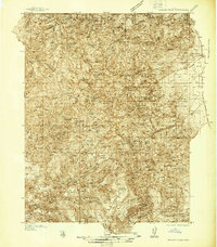
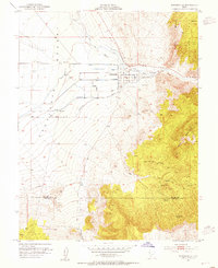
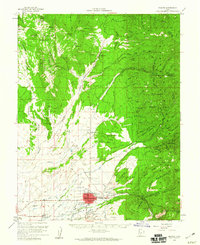
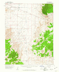
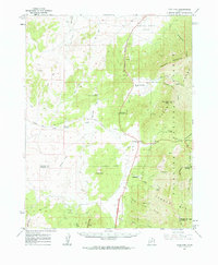
(151)- 1885 Map of Beaver
 1885 Beaver1885 Print · USGSCovers Beaver County, including Richfield, Beaver, and other nearby areas5 unique versions available
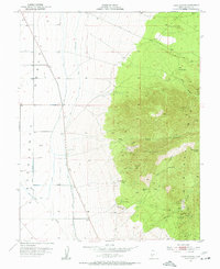
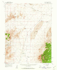
 - 1937 Map of Delano Peak
 1937 Delano Peak1937 Print · USGSCovers Beaver County, including Marysvale, Junction, and other nearby areas2 unique versions available
 - 1943 Map of Delano Peak
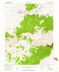
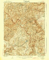 1943 Delano Peak1943 Print · USGSCovers Beaver County, including Marysvale, Junction, and other nearby areas2 unique versions available
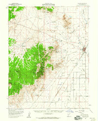
 - 1953 Map of Ninemile Knoll, 1954 Print
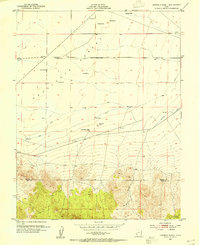 1953 Ninemile Knoll1954 Print · USGSCovers Beaver County, including Iron County, United States, and other nearby areas2 unique versions available
 - 1953 Map of Milford Flat, 1955 Print
 1953 Milford Flat1955 Print · USGSCovers Beaver County, including Minersville, Cook Corner, and other nearby areas2 unique versions available
 - 1953 Map of Minersville, 1955 Print
 1953 Minersville1955 Print · USGSCovers Beaver County, including Minersville, Iron County, and other nearby areas2 unique versions available
 - 1953 Map of Cave Canyon, 1955 Print
 1953 Cave Canyon1955 Print · USGSCovers Beaver County, including Minersville, United States, and other nearby areas2 unique versions available
 - 1953 Map of Richfield, 1963 Print
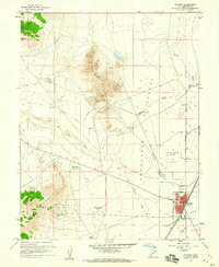
 1953 Richfield1963 Print · USGSCovers Beaver County, including Richfield, Beaver, and other nearby areas3 unique versions available
 - 1954 Map of Beaver SE, 1955 Print
 1954 Beaver SE1955 Print · USGSCovers Beaver County, including Beaver, North Creek, and other nearby areas
 - 1954 Map of Beaver NE, 1955 Print
 1954 Beaver NE1955 Print · USGSCovers Beaver County, including Piute County, United States, and other nearby areas
 - 1956 Map of Lund, 1963 Print
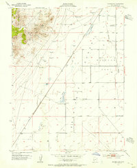
 1956 Lund1963 Print · USGSCovers Beaver County, including Lund, Preston, and other nearby areas2 unique versions available
 - 1958 Map of Richfield
 1958 Richfield1958 Print · USGSCovers Beaver County, including Richfield, Beaver, and other nearby areas2 unique versions available
 - 1958 Map of Minersville, 1960 Print
 1958 Minersville1960 Print · USGSCovers Beaver County, including Minersville, Iron County, and other nearby areas3 unique versions available
 - 1958 Map of Thermo, 1960 Print
 1958 Thermo1960 Print · USGSCovers Beaver County, including Iron County, United States, and other nearby areas
 - 1958 Map of Milford, 1960 Print
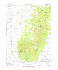
 1958 Milford1960 Print · USGSCovers Beaver County, including Milford, Minersville, and other nearby areas
 - 1958 Map of Beaver, 1960 Print
 1958 Beaver1960 Print · USGSCovers Beaver County, including Beaver, Cunningham Hill, and other nearby areas2 unique versions available
 - 1958 Map of Milford, 1960 Print
 1958 Milford1960 Print · USGSCovers Beaver County, including Milford, United States, and other nearby areas3 unique versions available
 - 1958 Map of Adamsville, 1960 Print
 1958 Adamsville1960 Print · USGSCovers Beaver County, including Milford, Minersville, and other nearby areas2 unique versions available
 - 1958 Map of Ranch Canyon, 1960 Print
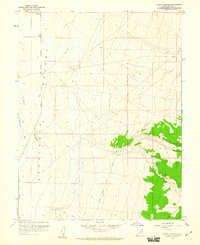 1958 Ranch Canyon1960 Print · USGSCovers Beaver County, including Milford, Yellow Banks, and other nearby areas3 unique versions available
 - 1959 Map of Frisco, 1961 Print
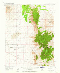
 1959 Frisco1961 Print · USGSCovers Beaver County, including Newhouse, United States, and other nearby areas3 unique versions available
 - 1960 Map of Lund
 1960 Lund1960 Print · USGSCovers Beaver County, including Lund, Preston, and other nearby areas
 - 1960 Map of Frisco Peak, 1962 Print
 1960 Frisco Peak1962 Print · USGSCovers Beaver County, including Millard County, United States, and other nearby areas2 unique versions available
 - 1960 Map of Wah Wah Summit, 1962 Print
 1960 Wah Wah Summit1962 Print · USGSCovers Beaver County, including Millard County, United States, and other nearby areas2 unique versions available
 - 1960 Map of Beaver Lake Mts., 1962 Print
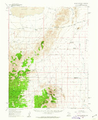 1960 Beaver Lake Mts.1962 Print · USGSCovers Beaver County, including Millard County, United States, and other nearby areas2 unique versions available
 - 1962 Map of Cove Fort, 1964 Print
 1962 Cove Fort1964 Print · USGSCovers Beaver County, including Sulphurdale, Cove Fort, and other nearby areas
Showing maps 1-25 of 151
Top cities of Beaver County
Frequently asked questions
- What are the different types of historical maps available for Beaver County?
- What is the oldest map of Beaver County?
- Where can I purchase historical maps of Beaver County for my home or office?
- Where can I download high-res historical maps of Beaver County?
- Are there historical topographic maps available for Beaver County?
- Is there historical aerial imagery available for Beaver County?
- Where are historical maps of Beaver County sourced from?