2000s (21st Century) Maps of Beaver County, Utah
Explore 300 historic maps of Beaver County from the 2000s (21st Century). These maps offer a rare glimpse into what life looked like during the 2000s — showing old roads, neighborhoods, homes, and landmarks that have changed or disappeared over time.
Whether you're researching your family's past, planning a metal detecting trip, or studying how Beaver County's landscape evolved across the 2000s, these high-resolution maps are a powerful tool for exploring the history of this region.
- Focus on a specific era: All maps on this page are from the 2000s, giving you a focused view of this time period.
- See what’s changed: Compare century-old streets, trails, and buildings to today's modern landscape using overlays and satellite layers.
- Research with precision: Use these maps for genealogy, historical research, land use analysis, or educational projects.
- View, download, or print: Maps are fully viewable online in high resolution, and can be downloaded or printed for your own records.
Start exploring Beaver County's history through authentic maps from the 2000s. This is your window into the past.
Beaver County, UT maps
(300)- 2001 Map of Circleville Mountain, 2003 Print
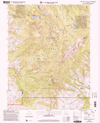 2001 Circleville Mountain2003 Print · USGSHigh in the Fishlake National Forest at the turn of the millennium, this area shows a landscape of mountain reservoirs and summer retreats. Researchers can trace historic grazing lands at Buck Pastures or locate remote camps like Fullmers Cabins and Kents Lake Campground.
 - 2001 Map of Mount Belknap, 2003 Print
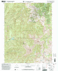 2001 Mount Belknap2003 Print · USGSThe high peaks of the Tushar Mountains in south-central Utah are shown here at the start of the millennium. Hikers and historians can trace the high-elevation mining legacy at Gold Mountain and Savar Mine, or find the secluded Blue Lake.
 - 2001 Map of Shelly Baldy Peak, 2003 Print
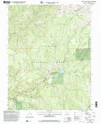 2001 Shelly Baldy Peak2003 Print · USGSThe Tushar Mountains in the early 2000s are revealed here in a landscape of high-altitude recreation and water management. Researchers can trace the layout of the Mount Holly Ski Area, the remote Robbers Roost, and the infrastructure of the Three Creeks Reservoir.
 - 2001 Map of Kane Canyon, 2003 Print
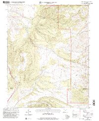 2001 Kane Canyon2003 Print · USGSBeaver and Iron Counties at the turn of the twenty-first century are defined by the high plateaus and canyon networks of the Fishlake National Forest. Researchers can trace the path of the Copes Dugway Trail and locate family-named landmarks like Patterson Creek and Beaver Ridge.
 - 2001 Map of Cove Fort, 2003 Print
 2001 Cove Fort2003 Print · USGSCentral Utah at the start of the twenty-first century reveals a rugged landscape where pioneer history meets modern energy and forestry. Researchers can trace the layout of Old Cove Fort, the mining sites near Sulphurdale, and the reaches of the Tushar Mountains.
 - 2001 Map of Black Ridge, 2003 Print
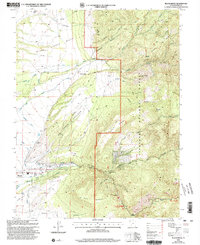 2001 Black Ridge2003 Print · USGSBeaver and the eastern high desert of Utah are shown at the turn of the millennium as a landscape defined by irrigation and mountain timber. Researchers can trace historic water management through the Mammoth Ditch and South Field Ditch or locate recreation sites like Little Cottonwood Campground.
 - 2001 Map of Mount Brigham, 2003 Print
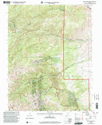 2001 Mount Brigham2003 Print · USGSThe mining peaks of the Piute range are shown here at the turn of the twenty-first century, featuring the high-elevation work sites of Fishlake National Forest. Trace the historical footprint of mineral extraction at the Silver King Mine, Rainbow Mine, and the waters of Bullion Falls.
 - 2001 Map of Delano Peak, 2003 Print
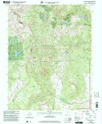 2001 Delano Peak2003 Print · USGSHigh in the Tushar Mountains at the start of the millennium, this survey captures a landscape of alpine peaks and mining history. Trace the Skyline National Recreation Trail past Delano Peak or locate the remote mines and prospects near Alunite Ridge.
 - 2001 Map of Pole Mountain, 2003 Print
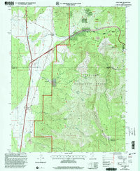
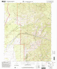 2001 Pole Mountain2003 Print · USGSBeaver County is shown at the start of the millennium as a rugged landscape of mining and forestry. Local researchers can pinpoint the Rob Roy Mine, the high peak of Pole Mountain, and the early roads through Manderfield.
 - 2001 Map of Circleville, 2003 Print
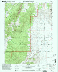 2001 Circleville2003 Print · USGSCircleville and the surrounding valley floor are shown at the start of the twenty-first century, revealing a landscape shaped by the Sevier River. Genealogists and local historians can trace the Cem and irrigation networks like the West Canal and Aqueduct.
 - 2010 Map of Pinto Spring, 2010 Print
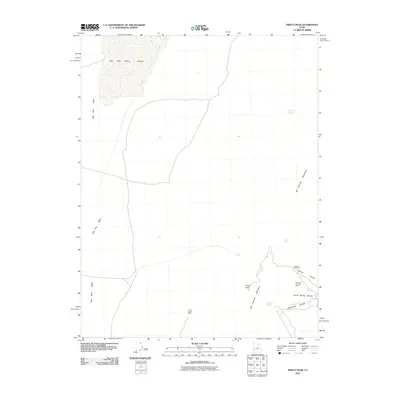
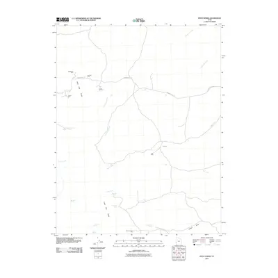 2010 Pinto Spring2010 Print · USGSCovers Beaver County, including Iron County, United States, and other nearby areas
 - 2010 Map of The Tetons, 2010 Print
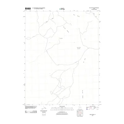 2010 The Tetons2010 Print · USGSCovers Beaver County, including Iron County, United States, and other nearby areas
 - 2010 Map of Frisco Peak, 2010 Print
 2010 Frisco Peak2010 Print · USGSCovers Beaver County, including Millard County, United States, and other nearby areas
 - 2010 Map of Burns Knoll, 2010 Print
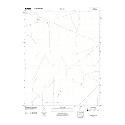 2010 Burns Knoll2010 Print · USGSCovers Beaver County, including Iron County, United States, and other nearby areas
 - 2010 Map of Blue Mountain, 2010 Print
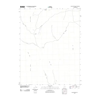 2010 Blue Mountain2010 Print · USGSCovers Beaver County, including Iron County, United States, and other nearby areas
 - 2010 Map of Atchison Creek, 2010 Print
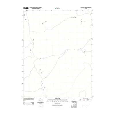 2010 Atchison Creek2010 Print · USGSCovers Beaver County, including Iron County, United States, and other nearby areas
 - 2010 Map of Picacho Peak, 2010 Print
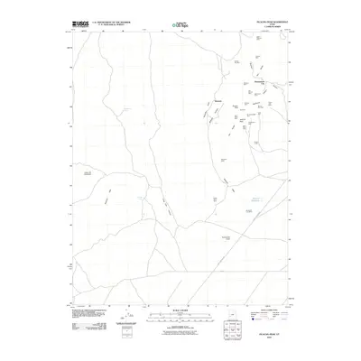 2010 Picacho Peak2010 Print · USGSCovers Beaver County, including Shauntie, Shenendoah City, and other nearby areas
 - 2010 Map of Lamerdorf Peak NW, 2010 Print
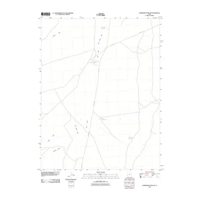 2010 Lamerdorf Peak NW2010 Print · USGSCovers Beaver County, including United States, Utah, and other nearby areas
 - 2010 Map of Miners Cabin Wash, 2010 Print
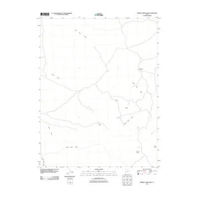 2010 Miners Cabin Wash2010 Print · USGSCovers Beaver County, including United States, Utah, and other nearby areas
 - 2010 Map of Buckhorn Spring, 2010 Print
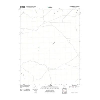 2010 Buckhorn Spring2010 Print · USGSCovers Beaver County, including United States, Utah, and other nearby areas
 - 2010 Map of High Rock, 2010 Print
 2010 High Rock2010 Print · USGSCovers Beaver County, including Millard County, United States, and other nearby areas
 - 2010 Map of Mountain Home Pass, 2010 Print
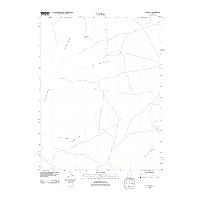
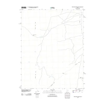 2010 Mountain Home Pass2010 Print · USGSCovers Beaver County, including Millard County, United States, and other nearby areas
 - 2010 Map of Halfway Summit, 2010 Print
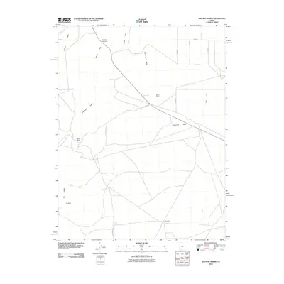 2010 Halfway Summit2010 Print · USGSCovers Beaver County, including Millard County, United States, and other nearby areas
 - 2010 Map of Lopers Spring, 2010 Print
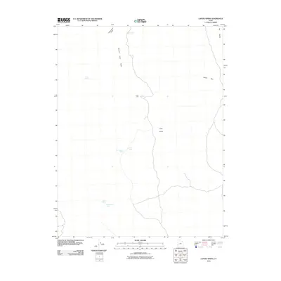 2010 Lopers Spring2010 Print · USGSCovers Beaver County, including United States, Utah, and other nearby areas
 - 2010 Map of Milford NW, 2010 Print
 2010 Milford NW2010 Print · USGSCovers Beaver County, including United States, Utah, and other nearby areas
Showing maps 1-25 of 300
Top cities of Beaver County
Frequently asked questions
- What are the different types of historical maps available for Beaver County?
- What is the oldest map of Beaver County?
- Where can I purchase historical maps of Beaver County for my home or office?
- Where can I download high-res historical maps of Beaver County?
- Are there historical topographic maps available for Beaver County?
- Is there historical aerial imagery available for Beaver County?
- Where are historical maps of Beaver County sourced from?