2010s Maps of Beaver County, Utah
Explore 178 historic maps of Beaver County from the 2010s. These maps offer a rare glimpse into what life looked like during the 2010s — showing old roads, neighborhoods, homes, and landmarks that have changed or disappeared over time.
Whether you're researching your family's past, planning a metal detecting trip, or studying how Beaver County's landscape evolved across the 2010s, these high-resolution maps are a powerful tool for exploring the history of this region.
- Focus on a specific era: All maps on this page are from the 2010s, giving you a focused view of this time period.
- See what’s changed: Compare century-old streets, trails, and buildings to today's modern landscape using overlays and satellite layers.
- Research with precision: Use these maps for genealogy, historical research, land use analysis, or educational projects.
- View, download, or print: Maps are fully viewable online in high resolution, and can be downloaded or printed for your own records.
Start exploring Beaver County's history through authentic maps from the 2010s. This is your window into the past.
Beaver County, UT maps
(178)- 2010 Map of Pinto Spring, 2010 Print
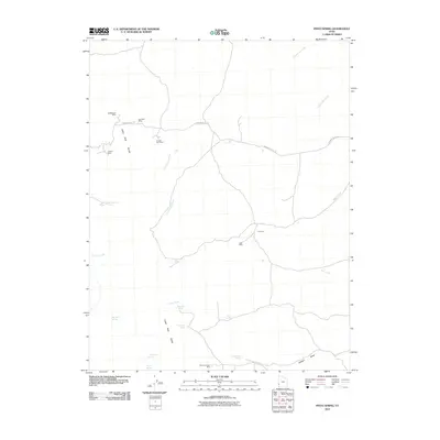 2010 Pinto Spring2010 Print · USGSIron County mining and desert hydrology are captured here in the early twenty-first century as the landscape remains sparsely settled. Researchers can locate remote industrial sites like the Holtbluebell Mine and vital water sources such as Pinto Spring or Merrils Camp Spring.
 - 2010 Map of The Tetons, 2010 Print
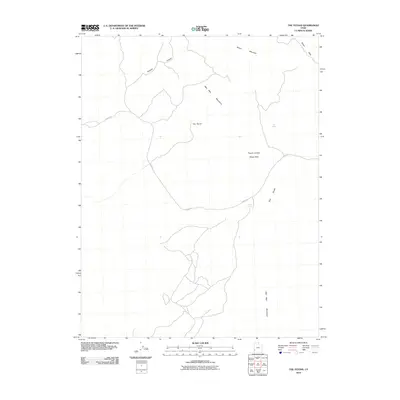 2010 The Tetons2010 Print · USGSIron County's high-desert rangeland is captured here in the early twenty-first century, showing a landscape defined by isolated water sources and research areas. Trace the network of desert tracks along Jockey Rd to find Jockey Spring and the Pinyon Juniper Study Area.
 - 2010 Map of Frisco Peak, 2010 Print
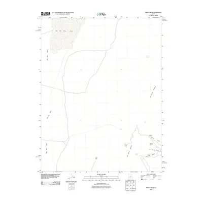 2010 Frisco Peak2010 Print · USGSMillard County's high desert reveals its mining and ranching history at the turn of the twenty-first century. Researchers can trace historical industrial sites like the Golden Reef Mine and Tow Rock Charcoal Kilns alongside vital water sources such as Pitchforth Spring.
 - 2010 Map of Burns Knoll, 2010 Print
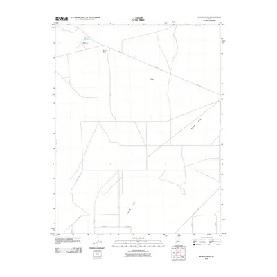 2010 Burns Knoll2010 Print · USGSThe Escalante Desert in the early twenty-first century reveals a landscape shaped by water management and isolated landmarks. You can trace the rural infrastructure around Burns Knoll Reservoir and follow desert routes like Jockey Rd and Beryl Milford Rd.
 - 2010 Map of Blue Mountain, 2010 Print
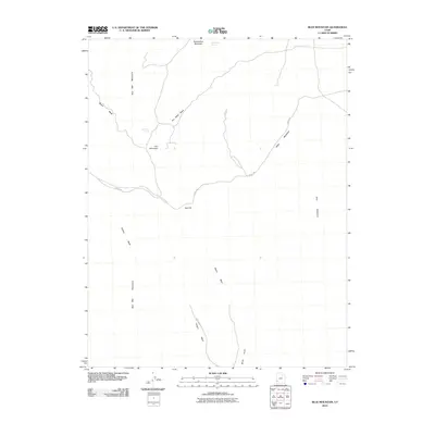 2010 Blue Mountain2010 Print · USGSIron County, Utah, is shown in the early twenty-first century as a land of rugged high-desert peaks and critical water sources. Researchers can trace the paths of Fisher Wash Rd and Jockey Rd near landmarks like Iron Mountain and Iron Mine Spring.
 - 2010 Map of Atchison Creek, 2010 Print
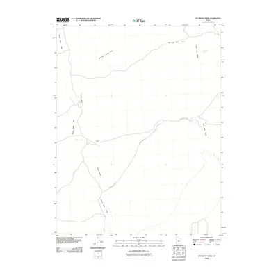 2010 Atchison Creek2010 Print · USGSIron County ranching and high desert hydrology are documented here in the first decade of the 21st century. Researchers can trace the layout of the O'Grain Ranch and follow the routes of Hamblin Valley Rd near the Indian Peak Range.
 - 2010 Map of Picacho Peak, 2010 Print
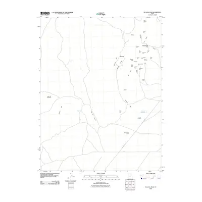 2010 Picacho Peak2010 Print · USGSBeaver County mining country is documented here during the early twenty-first century, showcasing a landscape defined by deep canyons and high desert peaks. Researchers can locate dozens of historic claims like the Red Warrior Mine, Mowitza Mine, and the site of Shenandoah City.
 - 2010 Map of Lamerdorf Peak NW, 2010 Print
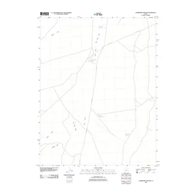 2010 Lamerdorf Peak NW2010 Print · USGSBeaver County water management is on display in this 2010 survey of the Utah desert. Researchers can trace the path of Pine Valley Rd past several remote catchments, including CCC Reservoir and Central Pine Reservoir.
 - 2010 Map of Miners Cabin Wash, 2010 Print
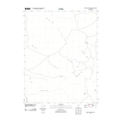 2010 Miners Cabin Wash2010 Print · USGSWestern Beaver County is mapped here in the early 2000s, showcasing the high-desert landscape of the Indian Peak Range. Researchers can locate the Mackleprang Homestead and trace the paths of Miners Cabin Wash and the Blue Jay Mine.
 - 2010 Map of Buckhorn Spring, 2010 Print
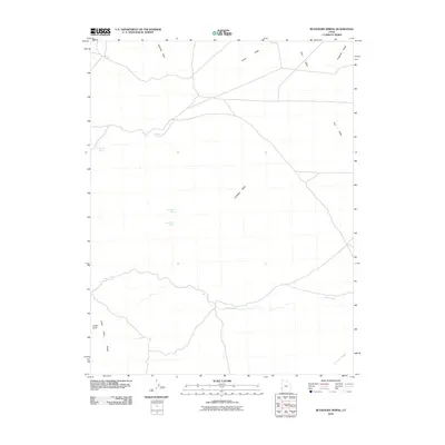 2010 Buckhorn Spring2010 Print · USGSBeaver County, Utah, is mapped here during the early twenty-first century, showing a high-desert landscape shaped by vital water sources. Researchers can trace the hydrology of the Great Basin through the location of Buckhorn Spring, Meadow Spring, and the prominent Indian Peak Range.
 - 2010 Map of High Rock, 2010 Print
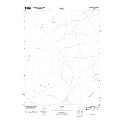 2010 High Rock2010 Print · USGSMillard County's high-desert landscape is captured here in the early twenty-first century, showing a terrain defined by isolated springs and mining history. Trace the locations of Black Rock Mine or find vital water sources like Three Kilns Spring and James Spring.
 - 2010 Map of Mountain Home Pass, 2010 Print
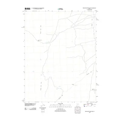 2010 Mountain Home Pass2010 Print · USGSThe Mountain Home Range in western Utah remained a vital corridor for high-desert ranching and travel into the early twenty-first century. Researchers can locate remote livestock infrastructure like the Sheep Dip Trough and trace water sources from Mountain Home Spring to Victor Spring.
 - 2010 Map of Halfway Summit, 2010 Print
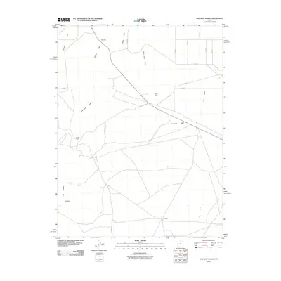 2010 Halfway Summit2010 Print · USGSMillard County's high desert is captured here in the early twenty-first century, showing the remote crossroads and watering holes of the Great Basin. Local historians can trace routes through Beers Pass and identify landmarks like The Toad and Five Points.
 - 2010 Map of Lopers Spring, 2010 Print
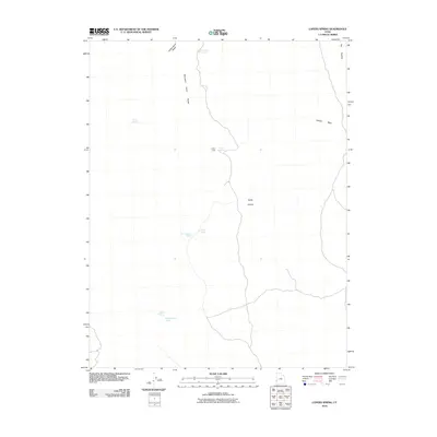 2010 Lopers Spring2010 Print · USGSBeaver County’s high desert landscape was surveyed by the USGS at the start of the decade, capturing a remote area of the Great Basin. Genealogists and desert explorers can trace early landmarks like Lopers Cabin or locate vital water sources such as Lopers Spring and Carney Spring.
 - 2010 Map of Milford NW, 2010 Print
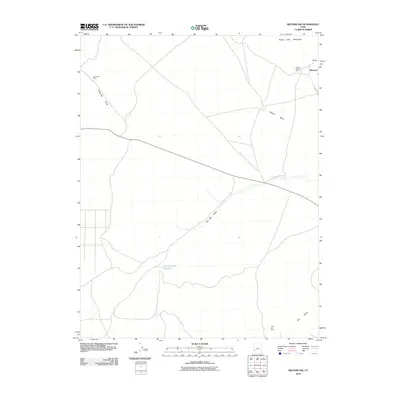 2010 Milford NW2010 Print · USGSBeaver County's high desert mining landscape is captured here in the modern era, showing the intersection of industrial history and rugged terrain. Researchers can trace the proximity of the Beaver-Harrison Mine and Wild Bill Mine to the small settlement at Blueacre.
 - 2010 Map of Frisco SW, 2010 Print
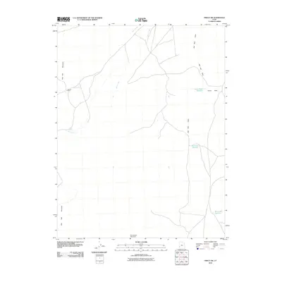 2010 Frisco SW2010 Print · USGSBeaver County ranching and water management are front and center in this late-aughts survey of the Wah Wah Valley. Local historians can trace the remote Baudino Ranch and a series of desert catchments including Brimstone Reservoir.
 - 2010 Map of Lime Mountain, 2010 Print
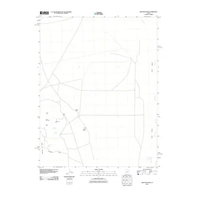 2010 Lime Mountain2010 Print · USGSMillard County mining operations and desert hydrology are captured here in the first decade of the millennium. Mineral seekers and local historians can trace the locations of the Galena Mine, Ute Mine, and remote water sources like Brounfield Tunnel Spring.
 - 2010 Map of Ninemile Knoll, 2010 Print
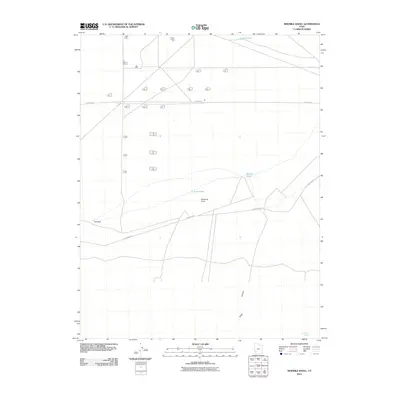 2010 Ninemile Knoll2010 Print · USGSIron County in the early twenty-first century reveals a high desert landscape shaped by its sparse water sources and essential rural roads. Trace the locations of isolated landmarks like Ninemile Knoll, The Sink, and the seasonal waters of Sand Pond.
 - 2010 Map of Milford, 2010 Print
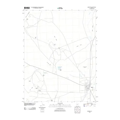 2010 Milford2010 Print · USGSMilford and the surrounding desert ranges are captured in the early 21st century as both a regional transit hub and an active mining landscape. Researchers can trace the legacy of local industry at the Old Hickory Mine, locate family sites at the Milford City Cemetery, or follow the Beaver River through the Beaver Bottoms.
 - 2010 Map of Sawtooth Peak, 2010 Print
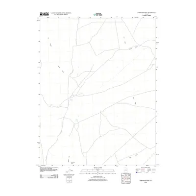 2010 Sawtooth Peak2010 Print · USGSBeaver County’s high desert landscape is documented here in the early twenty-first century, showing a network of remote washes and vital water sources. Researchers can trace historic movement through the area via Pots Sum Pa Spring, The Needles, and Jackson Wash.
 - 2010 Map of White Mountain, 2010 Print
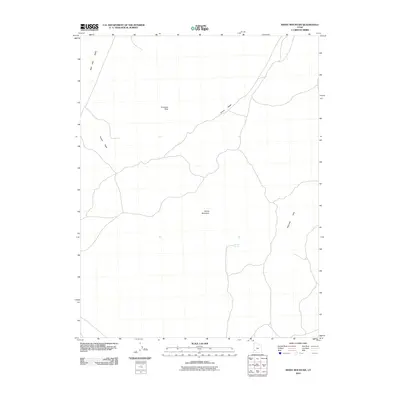 2010 White Mountain2010 Print · USGSWestern Beaver County is shown here in the early twenty-first century, capturing a high-desert landscape of drainage washes and isolated peaks. Researchers can trace the geography of the Wah Wah Valley and locate water sources like Mertons Spring and Grover Wash.
 - 2010 Map of Pine Valley Hardpan South, 2010 Print
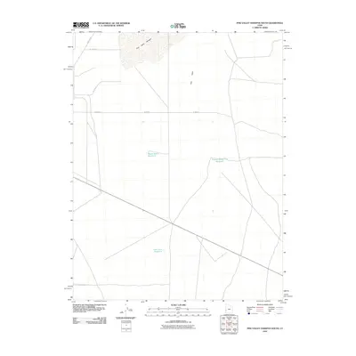 2010 Pine Valley Hardpan South2010 Print · USGSMillard County, Utah, is shown in the early twenty-first century as a land of wide-open spaces and strategic water management. Genealogists and historians can trace the grid of local routes and identify key landmarks like Desert Ranch Reservoir and the Pine Valley Hardpan.
 - 2010 Map of Sewing Machine Pass, 2010 Print
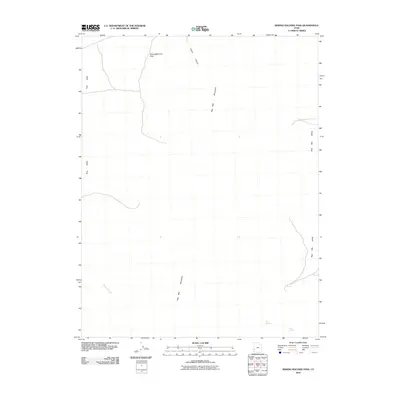 2010 Sewing Machine Pass2010 Print · USGSBeaver County, Utah, is shown in the early twenty-first century at the intersection of two high-desert basins. Researchers can trace the water sources and gaps through the Wah Wah Mountains, including Sewingmachine Pass and Kiln Spring.
 - 2010 Map of Wallaces Peak, 2010 Print
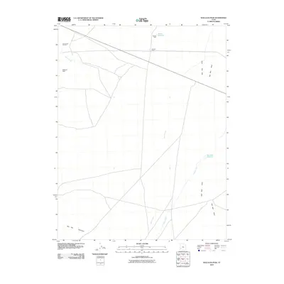 2010 Wallaces Peak2010 Print · USGSThe high-desert ranching country of Beaver County is mapped here in the early twenty-first century, showing a landscape defined by water management. Genealogists and local historians can locate the SquireFamily Cemetery and trace the relationship between Wah Wah Ranch and Wah Wah Reservoir.
 - 2010 Map of Frisco, 2010 Print
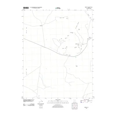 2010 Frisco2010 Print · USGSThe San Francisco Mountains mining district comes into focus in this late-career survey of Beaver County. Genealogists and industrial historians can trace the foundations of Frisco, the Frisco Cemetery, and famed workings like the Horn Silver Mine.
Showing maps 1-25 of 178
Top cities of Beaver County
Frequently asked questions
- What are the different types of historical maps available for Beaver County?
- What is the oldest map of Beaver County?
- Where can I purchase historical maps of Beaver County for my home or office?
- Where can I download high-res historical maps of Beaver County?
- Are there historical topographic maps available for Beaver County?
- Is there historical aerial imagery available for Beaver County?
- Where are historical maps of Beaver County sourced from?