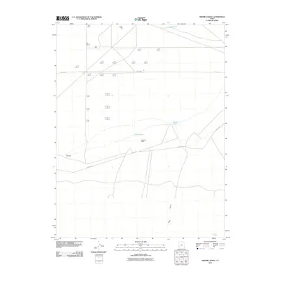
2010 Map of Ninemile Knoll
USGS Topo · Published 2010About this map
Ninemile Knoll serves as a central landmark in this part of Iron County, where the desert landscape is defined by its seasonal water features and scattered infrastructure. The southern reach of the Escalante Desert is characterized by drainage patterns leading to The Sink and the presence of ephemeral water sources like Sand Pond, Mound Pond, and Cactus Pond. This 2010 survey illustrates the modernization of the high desert, with Thermal Rd and S Milford Rd providing access to remote sections of the basin. The terrain transitions toward the south into Black Canyon, while the presence of Dry Willow Spring in the southeast corner marks one of the few named natural water points in this arid stretch, reflecting the ongoing importance of water resources for land management in southern Utah.
Find a feature on this map
9 named features on this map. Tap any name to fly to it.
Don’t see what you’re looking for? This feature index may not catch every label — zoom into the map to look around manually.
Map Details
Editions of this 2010 Ninemile Knoll Map
This is the sole edition of this map. No revisions or reprints were ever made.
Other maps of this area

1885 · Beaver
USGS Topo · 1:250,000

1953 · Ninemile Knoll
USGS Topo · 1:24,000

1953 · Milford Flat
USGS Topo · 1:24,000

1953 · Minersville
USGS Topo · 1:24,000

1953 · Cave Canyon
USGS Topo · 1:24,000

1953 · Richfield
USGS Topo · 1:250,000

1958 · Richfield
USGS Topo · 1:250,000

1958 · Minersville
USGS Topo · 1:62,500

1958 · Thermo
USGS Topo · 1:62,500

1958 · Milford
USGS Topo · 1:62,500