
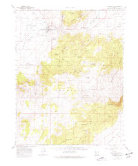
1958 Map of Minersville
USGS Topo · Published 1960About this map
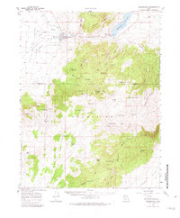
Minersville sits at the edge of the Escalante Desert, where the Beaver River emerges from the Mineral Mountains. This 1950s survey documents a landscape defined by water management in an arid environment, featuring the Minersville Reservoir and its associated Rocky Ford Dam. Irrigation infrastructure like the Low Line Canal, The Mile Ditch, and Utopia Canal radiates from the settlement to support local agriculture. The map captures specialized land use such as Uncle Benneys Orchard and several mining operations, including Gouls Mine and the Blue Ribbon Mine located near Blue Ribbon Summit. To the south, the terrain transitions into the high country of the Black Mountain range and the Parowan Valley, marked by numerous isolated water sources like Jackrabbit Spring and Cottonwood Spring which provided vital points for livestock and travelers.
Find a feature on this map
69 named features on this map. Tap any name to fly to it.
Don’t see what you’re looking for? This feature index may not catch every label — zoom into the map to look around manually.
Map Details
Editions of this 1958 Minersville Map
3 editions found
Other maps of this area

1885 · St. George
USGS Topo · 1:250,000

1885 · Beaver
USGS Topo · 1:250,000

1886 · Kanab
USGS Topo · 1:250,000

1891 · St. George
USGS Topo · 1:250,000

1950 · Enoch
USGS Topo · 1:62,500

1950 · Enoch NE
USGS Topo · 1:24,000

1952 · Enoch NE
USGS Topo · 1:24,000

1953 · Ninemile Knoll
USGS Topo · 1:24,000

1953 · Milford Flat
USGS Topo · 1:24,000

1953 · Minersville
USGS Topo · 1:24,000