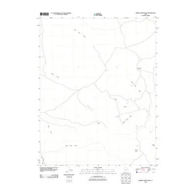
2010 Map of Miners Cabin Wash
USGS Topo · Published 2010About this map
Indian Peak Range defines the high ground of this western Utah landscape, where a history of subsistence and extraction is written into the terrain. The presence of the Blue Jay Mine and the Mackleprang Homestead suggests a 20th-century reliance on the land's sparse resources, centered around water sources like Ryan Spring and Chokecherry Spring. The drainage network, including Miners Cabin Wash and Hamlin Valley Wash, dictates the movement across this arid region. Distinctive landmarks such as Marys Nipple and Indian Peak provide clear points of reference for those navigating the canyons and washes, while the survival of named homesteads and mines offers a specific point of interest for researchers tracing the occupation of Beaver County's more isolated corners during this era.
Find a feature on this map
12 named features on this map. Tap any name to fly to it.
Don’t see what you’re looking for? This feature index may not catch every label — zoom into the map to look around manually.
Map Details
Editions of this 2010 Miners Cabin Wash Map
This is the sole edition of this map. No revisions or reprints were ever made.
Other maps of this area

1953 · Richfield
USGS Topo · 1:250,000

1956 · Lund
USGS Topo · 1:250,000

1958 · Richfield
USGS Topo · 1:250,000

1960 · Lund
USGS Topo · 1:250,000

1971 · Pinto Spring
USGS Topo · 1:24,000

1971 · Sawtooth Peak
USGS Topo · 1:24,000

1971 · Atchison Creek
USGS Topo · 1:24,000

1972 · Gleason Basin
USGS Topo · 1:24,000

1972 · Hamlin Well
USGS Topo · 1:24,000

1972 · White Rock Peak
USGS Topo · 1:24,000