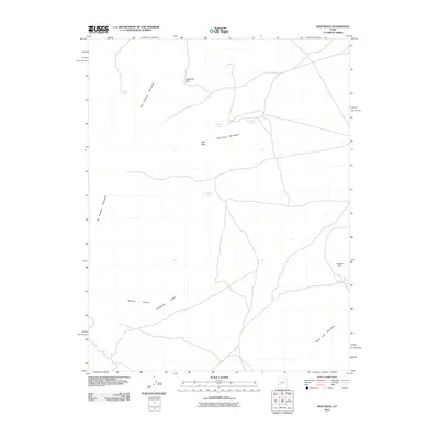
2010 Map of High Rock
USGS Topo · Published 2010About this map
The San Francisco Mountains and the Little Frisco Mountains dominate this high-desert region of Millard County, providing a landscape defined by sharp elevation changes and vital water sources. Strategic passes like High Rock Pass and landmarks such as High Rock guided travel through the arid terrain. The presence of the Black Rock Mine near the Beaver Lake Mountains suggests the area's history of mineral exploration, a common thread in this part of the Great Basin.
Find a feature on this map
13 named features on this map. Tap any name to fly to it.
Don’t see what you’re looking for? This feature index may not catch every label — zoom into the map to look around manually.
Map Details
Editions of this 2010 High Rock Map
This is the sole edition of this map. No revisions or reprints were ever made.
Other maps of this area

1953 · Richfield
USGS Topo · 1:250,000

1958 · Richfield
USGS Topo · 1:250,000

1958 · Milford
USGS Topo · 1:62,500

1958 · Milford
USGS Topo · 1:24,000

1959 · Frisco
USGS Topo · 1:62,500

1960 · Frisco Peak
USGS Topo · 1:62,500

1960 · Beaver Lake Mts.
USGS Topo · 1:62,500

1980 · Wah Wah Mts. South
USGS Topo · 1:100,000

1980 · Wah Wah Mts. North
USGS Topo · 1:100,000
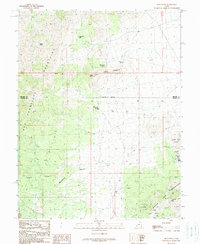
1989 · High Rock
USGS Topo · 1:24,000