Old Maps of Madsen, Honeyville
Explore 11 old maps of Madsen, spanning from 1954 to today. These high-resolution historic maps reveal how streets, neighborhoods, landmarks, and natural features evolved over time — perfect for genealogy, metal detecting, research, and local history exploration.
What you can do with these maps:
- See how Madsen changed over time: Compare historical maps to modern-day views to trace roads, homesites, rail lines & more.
- View detailed metadata: Each map includes creators, publishers, year, scale, and archive source.
- Overlay maps with satellite & LiDAR: Visualize the past alongside modern tools to explore terrain & human change.
- Trusted historical sources: Maps sourced from the USGS, Library of Congress, and other archives.
- Access maps your way: View online, download high-res files, or order prints for personal or research use.
Start exploring old maps of Madsen to uncover forgotten places, hidden landmarks, and the deep history beneath your feet.
Madsen, Honeyville maps
(11)- 1954 Map of Brigham City, 1968 Print
 1954 Brigham City1968 Print · USGSNorthern Utah and the edges of the Great Salt Lake are captured here during the mid-fifties, showing the region's transition from pioneer rail hubs to modern military ranges. Researchers can find old sidings like Lemay Siding, the Golden Spike Monument, and settlements like Washakie.4 unique versions available
 - 1958 Map of Brigham City
 1958 Brigham City1958 Print · USGSNorthern Utah in the late fifties shows a landscape of extremes, from the salt flats to the bustling Bear River Valley. Trace historical routes like the Old Immigrant Trail and locate local landmarks such as the Brigham Sugar Mill and Booth Valley School.
 - 1961 Map of Honeyville, 1963 Print
 1961 Honeyville1963 Print · USGSThe Bear River valley at the foot of the Wellsville Mountains is captured here in the early sixties. Researchers can trace the Union Pacific line through Honeyville and Deweyville, or locate family landmarks like Jensen Spring and Tolman Springs.2 unique versions available
 - 1962 Map of Brigham City
 1962 Brigham City1962 Print · USGSNorthern Utah in the early sixties reveals a landscape of vast salt flats and growing towns along the Wasatch Front. Researchers can trace the Southern Pacific line past the Golden Spike Monument or locate landmarks like Indian Cave and Donner-Reed Pass.
 - 1989 Map of Tremonton
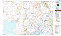 1989 Tremonton1989 Print · USGSNorthern Utah and the Idaho borderlands appear here in the late eighties, centered on the historic rail corridor and the fertile Bear River valley. Genealogists and historians can trace the legacy of settlements from Washakie to Honeyville and the Golden Spike National Historic Site.2 unique versions available
 - 1998 Map of Honeyville, 2001 Print
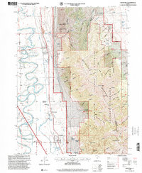 1998 Honeyville2001 Print · USGSThe Bear River Valley was a thriving corridor of irrigation and rail transport in the late 1990s. Genealogists and local historians can trace family-named sites like Jensen Spring and Madsen or locate the Cem near Deweyville.
 - 2011 Map of Honeyville, 2011 Print
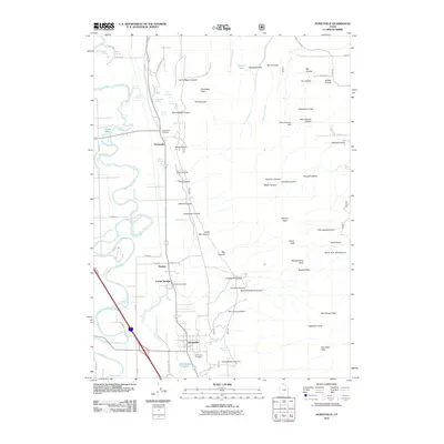 2011 Honeyville2011 Print · USGSThe Bear River valley is shown at a time when traditional water sources and modern infrastructure met along the base of the mountains. Researchers can trace family history at the Honeyville Cemetery or locate historic recreation spots like Crystal Spring Resort and Spring Lake.
 - 2014 Map of Honeyville, 2014 Print
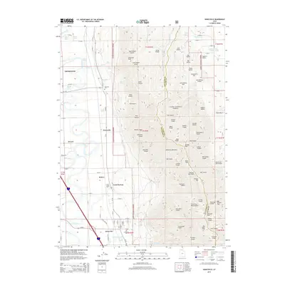 2014 Honeyville2014 Print · USGSThe Bear River valley and the Wellsville Mountains meet here in the years following the turn of the millennium. Local historians can trace the irrigation and settlement patterns of Honeyville, Deweyville, and the Crystal Spring Resort along the UT-38 corridor.
 - 2017 Map of Honeyville, 2017 Print
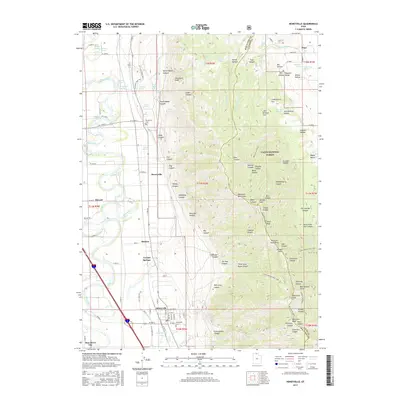 2017 Honeyville2017 Print · USGSThe Bear River Valley and the Wellsville Mountains meet in this recent survey of northern Utah. Genealogists and researchers can locate family plots at Honeyville Cem or trace the water sources at Crystal Springs and Dewey Spring.
 - 2020 Map of Honeyville, 2020 Print
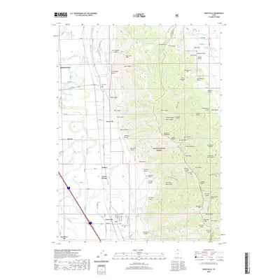 2020 Honeyville2020 Print · USGSThe Bear River Valley and the Wasatch Range meet here in the 2020s, showing a landscape defined by mountain springs and agricultural settlements. Researchers can locate Deweyville Cem, identify early water sources like Crystal Springs, and trace canyon access through Cache National Forest.
 - 2023 Map of Honeyville, 2023 Print
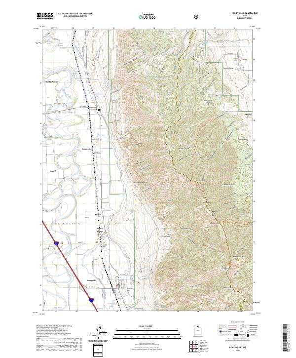 2023 Honeyville2023 Print · USGSThe Bear River Valley and the formidable Wellsville Mountains meet in this contemporary survey of northern Utah. Genealogists and local historians can locate family burial sites at Honeyville Cem and Deweyville Cem, or trace the vital waterways of Crystal Springs and the Hammond East Branch Canal.
End of results
Showing maps 1-11 of 11
Top cities near Madsen
- Logan historical maps
- Brigham City historical maps
- Tremonton historical maps
- Hyrum historical maps
- Wellsville historical maps
- Perry historical maps
See more
Frequently asked questions
- What are the different types of historical maps available for Madsen?
- What is the oldest map of Madsen?
- Where can I purchase historical maps of Madsen for my home or office?
- Where can I download high-res historical maps of Madsen?
- Are there historical topographic maps available for Madsen?
- Is there historical aerial imagery available for Madsen?
- Where are historical maps of Madsen sourced from?