Old Maps of Rosette, Utah for Academic Research
Study the evolution of Rosette with 12 high-resolution historic maps. Whether you're teaching, researching, or modeling changes in land use, these maps provide essential visual documentation of urban, environmental, and geographic change.
- Analyze long-term change: Track patterns in development, transportation, and natural features.
- Ideal for environmental or urban studies: Support academic projects with primary historical map data.
- Use in the classroom or lab: Educators and researchers rely on these maps to bring historical context to life.
These maps are a powerful tool for teaching, research, and visualizing how Rosette has changed over the decades.
Rosette, UT maps
(12)- 1954 Map of Brigham City, 1968 Print
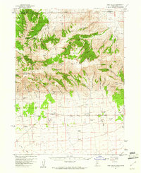
 1954 Brigham City1968 Print · USGSNorthern Utah and the edges of the Great Salt Lake are captured here during the mid-fifties, showing the region's transition from pioneer rail hubs to modern military ranges. Researchers can find old sidings like Lemay Siding, the Golden Spike Monument, and settlements like Washakie.4 unique versions available
 - 1958 Map of Brigham City
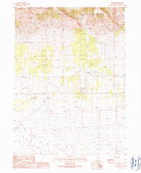
 1958 Brigham City1958 Print · USGSNorthern Utah in the late fifties shows a landscape of extremes, from the salt flats to the bustling Bear River Valley. Trace historical routes like the Old Immigrant Trail and locate local landmarks such as the Brigham Sugar Mill and Booth Valley School.
 - 1959 Map of Park Valley, 1960 Print
 1959 Park Valley1960 Print · USGSIn the late 1950s, the Utah-Idaho border region was a landscape of high peaks and foothill ranching communities. Genealogists and local historians can trace the foundations of Park Valley and Rosette or locate high-country landmarks like the One Mile Guard Sta.3 unique versions available
 - 1962 Map of Brigham City
 1962 Brigham City1962 Print · USGSNorthern Utah in the early sixties reveals a landscape of vast salt flats and growing towns along the Wasatch Front. Researchers can trace the Southern Pacific line past the Golden Spike Monument or locate landmarks like Indian Cave and Donner-Reed Pass.
 - 1987 Map of Grouse Creek
 1987 Grouse Creek1987 Print · USGSHigh desert ranching and transcontinental rail lines define this late-eighties portrait of the Utah-Idaho borderlands. Researchers can trace the Southern Pacific Railroad through Lucin or locate mountain settlements like Yost and Park Valley.2 unique versions available
 - 1990 Map of Rosette
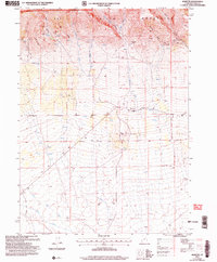
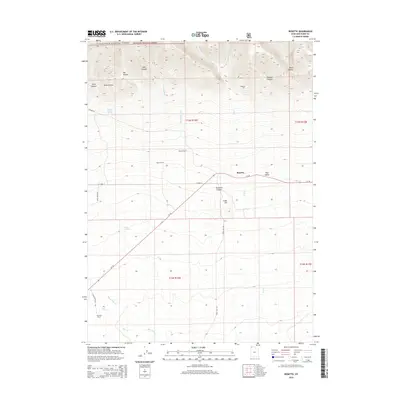
 1990 Rosette1990 Print · USGSNorthwestern Utah’s high desert and mountain slopes are captured here in the late twentieth century. Genealogists and local historians can trace the remote settlement of Rosette and ranching landmarks like Docken Corral and the Dipping Vat.
 - 2001 Map of Rosette, 2006 Print
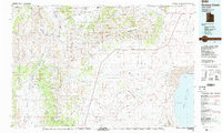
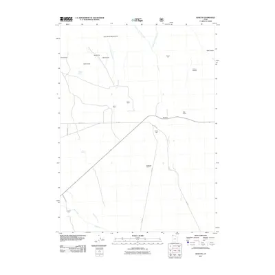
 2001 Rosette2006 Print · USGSThe community of Rosette sits between the high Raft River Mountains and the desert floor at the turn of the millennium. Genealogists and researchers can trace local landmarks like the Post Office, numerous mountain prospects, and the Dipping Vat.
 - 2011 Map of Rosette, 2011 Print
 2011 Rosette2011 Print · USGSCovers Rosette, including Box Elder County, United States, and other nearby areas
 - 2014 Map of Rosette, 2014 Print
 2014 Rosette2014 Print · USGSCovers Rosette, including Box Elder County, United States, and other nearby areas
 - 2017 Map of Rosette, 2017 Print
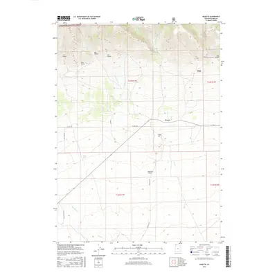 2017 Rosette2017 Print · USGSCovers Rosette, including Box Elder County, United States, and other nearby areas
 - 2020 Map of Rosette, 2020 Print
 2020 Rosette2020 Print · USGSCovers Rosette, including Box Elder County, United States, and other nearby areas
 - 2023 Map of Rosette, 2023 Print
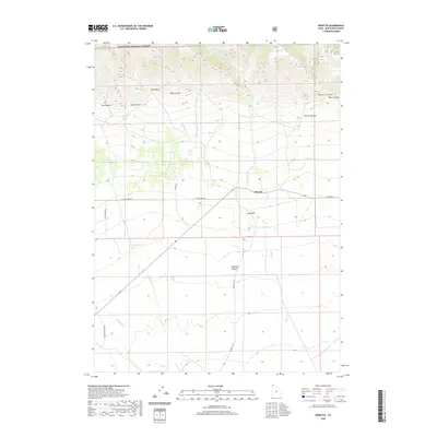
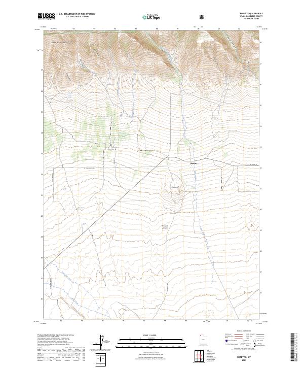 2023 Rosette2023 Print · USGSThe northern edge of Box Elder County is mapped in this modern survey of Rosette and the Raft River Mountains. Genealogists and researchers can trace ranching infrastructure and water sources like Kunzler Ranch Rd, Doxey Corral Spring, and Rosevere Canyon.
End of results
Showing maps 1-12 of 12
Frequently asked questions
- What are the different types of historical maps available for Rosette?
- What is the oldest map of Rosette?
- Where can I purchase historical maps of Rosette for my home or office?
- Where can I download high-res historical maps of Rosette?
- Are there historical topographic maps available for Rosette?
- Is there historical aerial imagery available for Rosette?
- Where are historical maps of Rosette sourced from?