2000s (21st Century) Maps of Tremonton, Utah
Explore 10 historic maps of Tremonton from the 2000s (21st Century). These maps offer a rare glimpse into what life looked like during the 2000s — showing old roads, neighborhoods, homes, and landmarks that have changed or disappeared over time.
Whether you're researching your family's past, planning a metal detecting trip, or studying how Tremonton's landscape evolved across the 2000s, these high-resolution maps are a powerful tool for exploring the history of this region.
- Focus on a specific era: All maps on this page are from the 2000s, giving you a focused view of this time period.
- See what’s changed: Compare century-old streets, trails, and buildings to today's modern landscape using overlays and satellite layers.
- Research with precision: Use these maps for genealogy, historical research, land use analysis, or educational projects.
- View, download, or print: Maps are fully viewable online in high resolution, and can be downloaded or printed for your own records.
Start exploring Tremonton's history through authentic maps from the 2000s. This is your window into the past.
Tremonton, UT maps
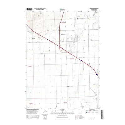
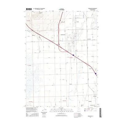
(10)- 2011 Map of Tremonton, 2011 Print
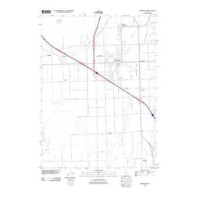 2011 Tremonton2011 Print · USGSCovers Tremonton, including Garland, Honeyville, and other nearby areas
 - 2011 Map of Honeyville, 2011 Print
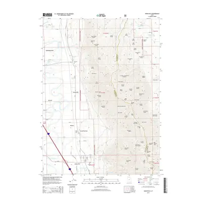
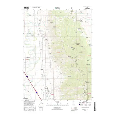
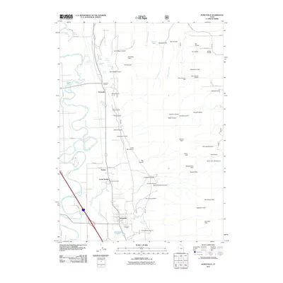 2011 Honeyville2011 Print · USGSCovers Tremonton, including Honeyville, Bear River City, and other nearby areas
 - 2014 Map of Honeyville, 2014 Print
 2014 Honeyville2014 Print · USGSCovers Tremonton, including Honeyville, Bear River City, and other nearby areas
 - 2014 Map of Tremonton, 2014 Print
 2014 Tremonton2014 Print · USGSCovers Tremonton, including Garland, Honeyville, and other nearby areas
 - 2017 Map of Honeyville, 2017 Print
 2017 Honeyville2017 Print · USGSCovers Tremonton, including Honeyville, Bear River City, and other nearby areas
 - 2017 Map of Tremonton, 2017 Print
 2017 Tremonton2017 Print · USGSCovers Tremonton, including Garland, Honeyville, and other nearby areas
 - 2020 Map of Honeyville, 2020 Print
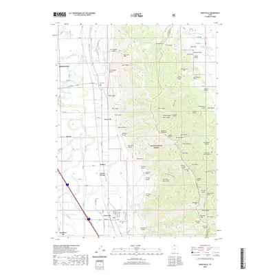 2020 Honeyville2020 Print · USGSCovers Tremonton, including Honeyville, Bear River City, and other nearby areas
 - 2020 Map of Tremonton, 2020 Print
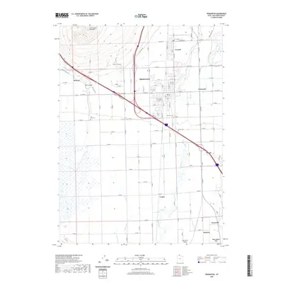 2020 Tremonton2020 Print · USGSCovers Tremonton, including Garland, Honeyville, and other nearby areas
 - 2023 Map of Honeyville, 2023 Print
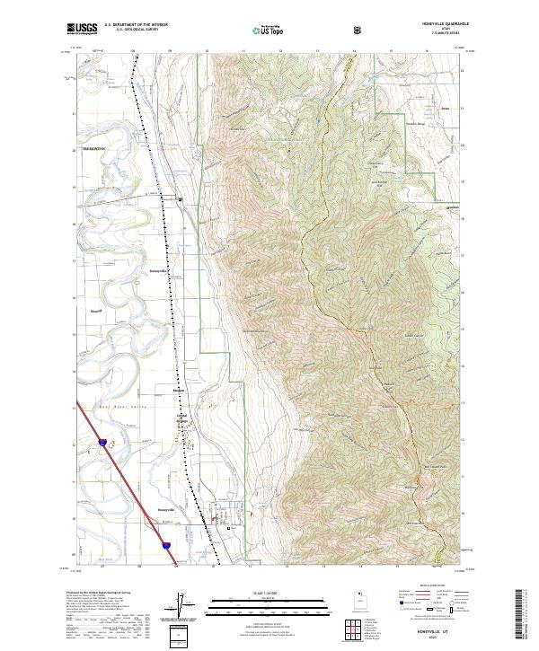 2023 Honeyville2023 Print · USGSThe Bear River Valley and the formidable Wellsville Mountains meet in this contemporary survey of northern Utah. Genealogists and local historians can locate family burial sites at Honeyville Cem and Deweyville Cem, or trace the vital waterways of Crystal Springs and the Hammond East Branch Canal.
 - 2023 Map of Tremonton, 2023 Print
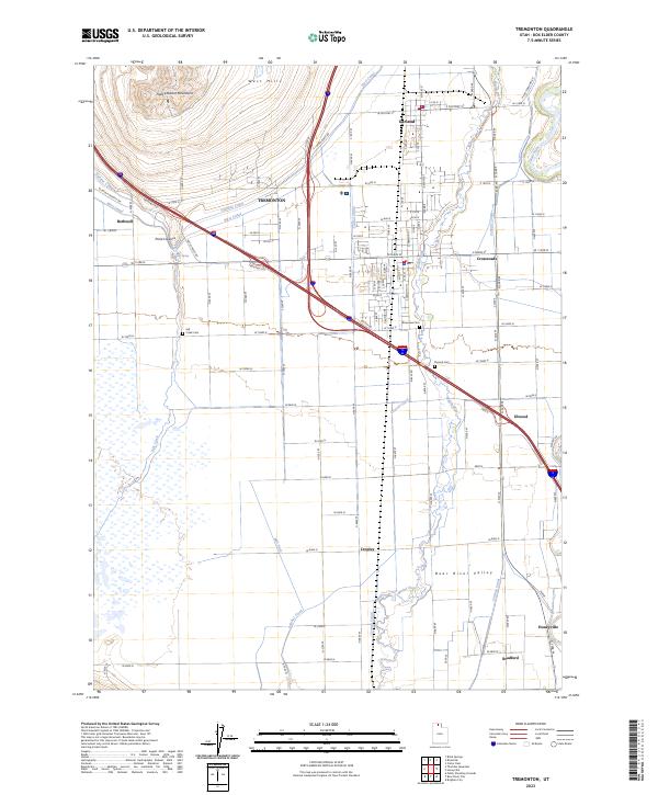 2023 Tremonton2023 Print · USGSThe Bear River Valley's agricultural and ecological landscape is beautifully preserved in this recent survey of Northern Utah. Genealogists and local historians can trace the irrigation networks and family-named roads connecting Bothwell, Elwood, and historic burial sites like Salt Creek Cem.
End of results
Showing maps 1-10 of 10
Top cities near Tremonton
- Brigham City historical maps
- Wellsville historical maps
- Perry historical maps
- Garland historical maps
- Honeyville historical maps
- Bear River City historical maps
See more
Top neighborhoods of Tremonton
Frequently asked questions
- What are the different types of historical maps available for Tremonton?
- What is the oldest map of Tremonton?
- Where can I purchase historical maps of Tremonton for my home or office?
- Where can I download high-res historical maps of Tremonton?
- Are there historical topographic maps available for Tremonton?
- Is there historical aerial imagery available for Tremonton?
- Where are historical maps of Tremonton sourced from?