2020s Maps of East Carbon, Utah
Explore 6 historic maps of East Carbon from the 2020s. These maps offer a rare glimpse into what life looked like during the 2020s — showing old roads, neighborhoods, homes, and landmarks that have changed or disappeared over time.
Whether you're researching your family's past, planning a metal detecting trip, or studying how East Carbon's landscape evolved across the 2020s, these high-resolution maps are a powerful tool for exploring the history of this region.
- Focus on a specific era: All maps on this page are from the 2020s, giving you a focused view of this time period.
- See what’s changed: Compare century-old streets, trails, and buildings to today's modern landscape using overlays and satellite layers.
- Research with precision: Use these maps for genealogy, historical research, land use analysis, or educational projects.
- View, download, or print: Maps are fully viewable online in high resolution, and can be downloaded or printed for your own records.
Start exploring East Carbon's history through authentic maps from the 2020s. This is your window into the past.
East Carbon, UT maps
(6)- 2020 Map of Sunnyside Junction, 2020 Print
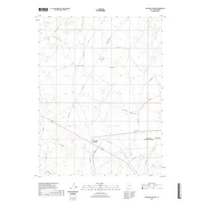 2020 Sunnyside Junction2020 Print · USGSCovers East Carbon, including Carbon County, United States, and other nearby areas
 - 2020 Map of Sunnyside, 2020 Print
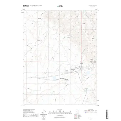 2020 Sunnyside2020 Print · USGSCovers East Carbon, including Columbia Junction, Sunnydale, and other nearby areas
 - 2020 Map of Patmos Head, 2020 Print
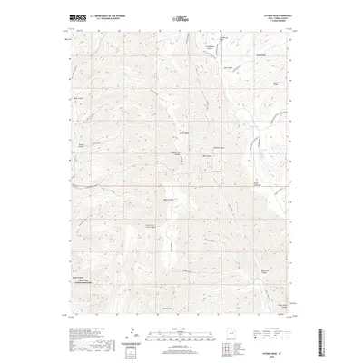 2020 Patmos Head2020 Print · USGSCovers East Carbon, including Upper Sunnyside, Carbon County, and other nearby areas
 - 2023 Map of Patmos Head, 2023 Print
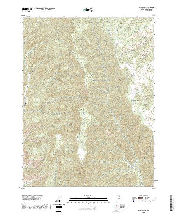 2023 Patmos Head2023 Print · USGSThe high ridges and deep canyons of eastern Utah are documented here in the early twenty-first century. Researchers can trace remote water sources like Dalton Spring and North Willow Spring or navigate the steep terrain around Patmos Head and Range Valley Mtn.
 - 2023 Map of Sunnyside Junction, 2023 Print
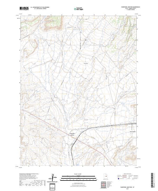 2023 Sunnyside Junction2023 Print · USGSCarbon County's high-desert ranching corridors are captured here in the contemporary era. Researchers can trace historic access routes and burial sites like Kiz Cem, the remote Sunnyside Junction, and the curiously named Nowhere Rd.
 - 2023 Map of Sunnyside, 2023 Print
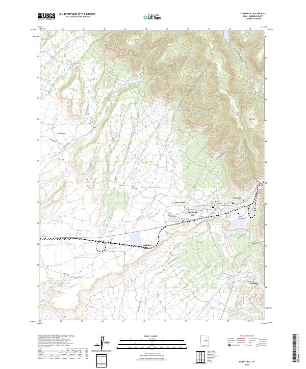 2023 Sunnyside2023 Print · USGSCarbon County's coal-mining heritage and canyon settlements are documented here in recent years. Researchers can trace the layout of Sunnyside and Columbia, or locate local burial grounds like Valley View Cem and the Sunnyside Power Plant Cem.
End of results
Showing maps 1-6 of 6
Top neighborhoods of East Carbon
- Columbia Junction historical maps
- Sunnydale historical maps
- Columbia historical maps
- Dragerton historical maps
- Sunnyside historical maps
Frequently asked questions
- What are the different types of historical maps available for East Carbon?
- What is the oldest map of East Carbon?
- Where can I purchase historical maps of East Carbon for my home or office?
- Where can I download high-res historical maps of East Carbon?
- Are there historical topographic maps available for East Carbon?
- Is there historical aerial imagery available for East Carbon?
- Where are historical maps of East Carbon sourced from?