Old Maps of Duchesne, Utah
Explore 18 old maps of Duchesne, spanning from 1885 to today. These high-resolution historic maps reveal how streets, neighborhoods, landmarks, and natural features evolved over time — perfect for genealogy, metal detecting, research, and local history exploration.
What you can do with these maps:
- See how Duchesne changed over time: Compare historical maps to modern-day views to trace roads, homesites, rail lines & more.
- View detailed metadata: Each map includes creators, publishers, year, scale, and archive source.
- Overlay maps with satellite & LiDAR: Visualize the past alongside modern tools to explore terrain & human change.
- Trusted historical sources: Maps sourced from the USGS, Library of Congress, and other archives.
- Access maps your way: View online, download high-res files, or order prints for personal or research use.
Start exploring old maps of Duchesne to uncover forgotten places, hidden landmarks, and the deep history beneath your feet.
Duchesne, UT maps
(18)- 1885 Map of Uinta
 1885 Uinta1885 Print · USGSThe high wilderness of northern Utah is documented during the early surveying era of the 1880s. Geologists and historians can trace the headwaters of the Duchesne River and locate landmarks like Gilbert Peak and Rhodes Plateau.6 unique versions available
 - 1939 Map of Duchesne
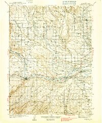 1939 Duchesne1939 Print · USGSThe Duchesne River valley and the Uinta Basin come alive in the mid-1930s as a landscape of new irrigation and ranching. Genealogists can trace family footprints at Knights Ranch, Monarch Sch, or the remote Pariette Mine.3 unique versions available
 - 1954 Map of Salt Lake City, 1964 Print
 1954 Salt Lake City1964 Print · USGSThe Wasatch Front and Uinta Mountains are captured here in the mid-fifties, showing the industrial heart of Utah and its high mountain wilderness. Researchers can locate vanished infrastructure and landmarks like the Geneva Steel Plant, Bingham Canyon Mine, and the Utah State Prison.4 unique versions available
 - 1958 Map of Salt Lake City
 1958 Salt Lake City1958 Print · USGSThe Wasatch Front and Uinta Basin are captured during a period of significant post-war growth and industrial development. Researchers can trace the mid-century rail lines of the Bamberger RR and locate sites like the Kiegley Limestone Quarry and Camp Williams Military Reservation.
 - 1960 Map of Salt Lake City
 1960 Salt Lake City1960 Print · USGSThe Wasatch Front and High Uintas are captured mid-century as the Salt Lake Valley underwent significant postwar expansion. Genealogists and historians can trace rail lines like the Union Pacific and locate established landmarks such as Fort Douglas, Camp Williams, and the Bingham Canyon Mine.
 - 1964 Map of Duchesne NE, 1966 Print
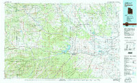
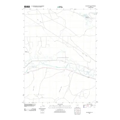
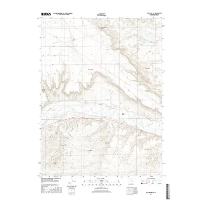
 1964 Duchesne NE1966 Print · USGSThe Duchesne River valley in the mid-1960s shows a landscape defined by industrial development and desert irrigation. Researchers can trace early energy infrastructure through several Oil Wells and the extensive Duchesne Feeder Canal system.
 - 1965 Map of Duchesne, 1967 Print
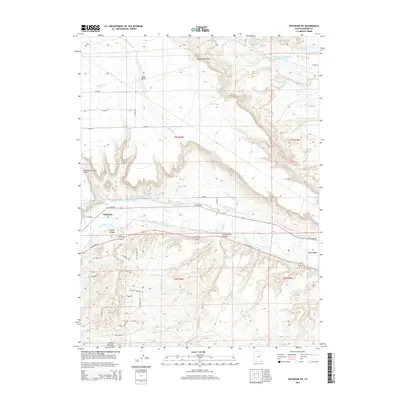
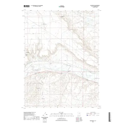
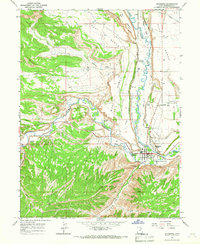 1965 Duchesne1967 Print · USGSThe confluence of the Strawberry River and Duchesne River anchors this Utah community in the 1960s. Trace the complex irrigation network of the Knight Canal and find local landmarks like Strawberry Cemetery.2 unique versions available
 - 1982 Map of Duchesne, 1987 Print
 1982 Duchesne1987 Print · USGSThe high plateaus and river basins of eastern Utah are captured here in the early 1980s, showcasing the region's vital water systems and tribal lands. Researchers can trace the development of the Uintah and Ouray Indian Reservation and locate old crossroads like Tabiona and Upalco.
 - 2010 Map of Duchesne, 2010 Print
 2010 Duchesne2010 Print · USGSCovers Duchesne, including Duchesne County, United States, and other nearby areas
 - 2011 Map of Duchesne NE, 2011 Print
 2011 Duchesne NE2011 Print · USGSCovers Duchesne, including Duchesne County, United States, and other nearby areas
 - 2014 Map of Duchesne NE, 2014 Print
 2014 Duchesne NE2014 Print · USGSCovers Duchesne, including Duchesne County, United States, and other nearby areas
 - 2014 Map of Duchesne, 2014 Print
 2014 Duchesne2014 Print · USGSCovers Duchesne, including Duchesne County, United States, and other nearby areas
 - 2017 Map of Duchesne, 2017 Print
 2017 Duchesne2017 Print · USGSCovers Duchesne, including Duchesne County, United States, and other nearby areas
 - 2017 Map of Duchesne NE, 2017 Print
 2017 Duchesne NE2017 Print · USGSCovers Duchesne, including Duchesne County, United States, and other nearby areas
 - 2020 Map of Duchesne NE, 2020 Print
 2020 Duchesne NE2020 Print · USGSCovers Duchesne, including Duchesne County, United States, and other nearby areas
 - 2020 Map of Duchesne, 2020 Print
 2020 Duchesne2020 Print · USGSCovers Duchesne, including Duchesne County, United States, and other nearby areas
 - 2023 Map of Duchesne NE, 2023 Print
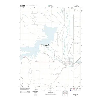
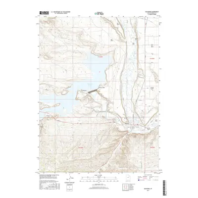
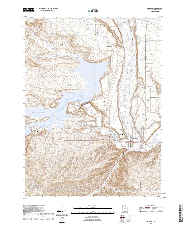
 2023 Duchesne NE2023 Print · USGSThe Duchesne River valley is seen here in recent years, showing a complex landscape of water engineering and plateau terrain. Genealogists and local historians can trace family-named landmarks and essential infrastructure like Knight Ditch and the Duchesne Municipal Airport.
 - 2023 Map of Duchesne, 2023 Print
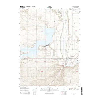
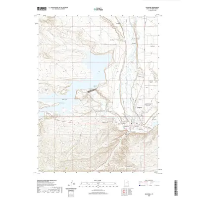
 2023 Duchesne2023 Print · USGSDuchesne sits at the heart of the Uinta Basin in this modern survey, where the river forks meet a complex network of historic irrigation canals. Researchers can locate the Duchesne County Court House, trace the waters of Starvation Reservoir, and find family sites at Theodore Cem or Strawberry Cem.
End of results
Showing maps 1-18 of 18
Top cities near Duchesne
Frequently asked questions
- What are the different types of historical maps available for Duchesne?
- What is the oldest map of Duchesne?
- Where can I purchase historical maps of Duchesne for my home or office?
- Where can I download high-res historical maps of Duchesne?
- Are there historical topographic maps available for Duchesne?
- Is there historical aerial imagery available for Duchesne?
- Where are historical maps of Duchesne sourced from?