2000s (21st Century) Maps of Duchesne, Utah
Explore 10 historic maps of Duchesne from the 2000s (21st Century). These maps offer a rare glimpse into what life looked like during the 2000s — showing old roads, neighborhoods, homes, and landmarks that have changed or disappeared over time.
Whether you're researching your family's past, planning a metal detecting trip, or studying how Duchesne's landscape evolved across the 2000s, these high-resolution maps are a powerful tool for exploring the history of this region.
- Focus on a specific era: All maps on this page are from the 2000s, giving you a focused view of this time period.
- See what’s changed: Compare century-old streets, trails, and buildings to today's modern landscape using overlays and satellite layers.
- Research with precision: Use these maps for genealogy, historical research, land use analysis, or educational projects.
- View, download, or print: Maps are fully viewable online in high resolution, and can be downloaded or printed for your own records.
Start exploring Duchesne's history through authentic maps from the 2000s. This is your window into the past.
Duchesne, UT maps
(10)- 2010 Map of Duchesne, 2010 Print
 2010 Duchesne2010 Print · USGSCovers Duchesne, including Duchesne County, United States, and other nearby areas
 - 2011 Map of Duchesne NE, 2011 Print
 2011 Duchesne NE2011 Print · USGSCovers Duchesne, including Duchesne County, United States, and other nearby areas
 - 2014 Map of Duchesne NE, 2014 Print
 2014 Duchesne NE2014 Print · USGSCovers Duchesne, including Duchesne County, United States, and other nearby areas
 - 2014 Map of Duchesne, 2014 Print
 2014 Duchesne2014 Print · USGSCovers Duchesne, including Duchesne County, United States, and other nearby areas
 - 2017 Map of Duchesne, 2017 Print
 2017 Duchesne2017 Print · USGSCovers Duchesne, including Duchesne County, United States, and other nearby areas
 - 2017 Map of Duchesne NE, 2017 Print
 2017 Duchesne NE2017 Print · USGSCovers Duchesne, including Duchesne County, United States, and other nearby areas
 - 2020 Map of Duchesne NE, 2020 Print
 2020 Duchesne NE2020 Print · USGSCovers Duchesne, including Duchesne County, United States, and other nearby areas
 - 2020 Map of Duchesne, 2020 Print
 2020 Duchesne2020 Print · USGSCovers Duchesne, including Duchesne County, United States, and other nearby areas
 - 2023 Map of Duchesne NE, 2023 Print
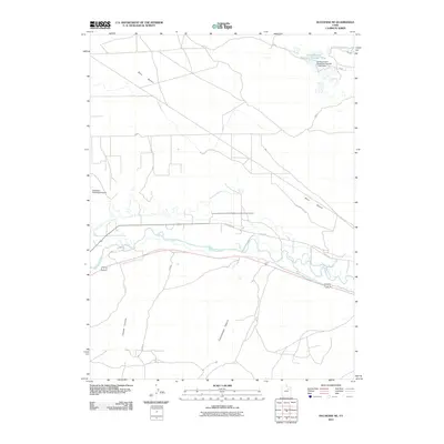
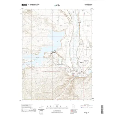
 2023 Duchesne NE2023 Print · USGSThe Duchesne River valley is seen here in recent years, showing a complex landscape of water engineering and plateau terrain. Genealogists and local historians can trace family-named landmarks and essential infrastructure like Knight Ditch and the Duchesne Municipal Airport.
 - 2023 Map of Duchesne, 2023 Print
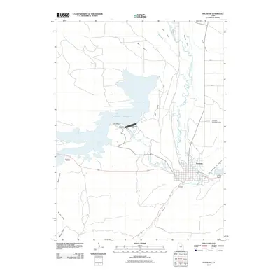
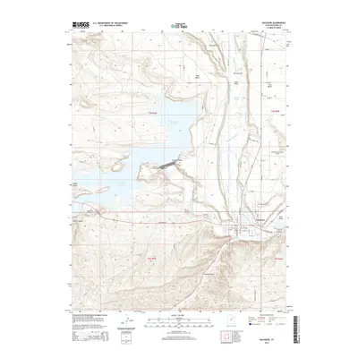
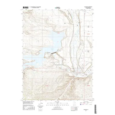
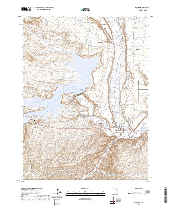 2023 Duchesne2023 Print · USGSDuchesne sits at the heart of the Uinta Basin in this modern survey, where the river forks meet a complex network of historic irrigation canals. Researchers can locate the Duchesne County Court House, trace the waters of Starvation Reservoir, and find family sites at Theodore Cem or Strawberry Cem.
End of results
Showing maps 1-10 of 10
Top cities near Duchesne
Frequently asked questions
- What are the different types of historical maps available for Duchesne?
- What is the oldest map of Duchesne?
- Where can I purchase historical maps of Duchesne for my home or office?
- Where can I download high-res historical maps of Duchesne?
- Are there historical topographic maps available for Duchesne?
- Is there historical aerial imagery available for Duchesne?
- Where are historical maps of Duchesne sourced from?