Old Maps of Fillmore, Utah for Academic Research
Study the evolution of Fillmore with 12 high-resolution historic maps. Whether you're teaching, researching, or modeling changes in land use, these maps provide essential visual documentation of urban, environmental, and geographic change.
- Analyze long-term change: Track patterns in development, transportation, and natural features.
- Ideal for environmental or urban studies: Support academic projects with primary historical map data.
- Use in the classroom or lab: Educators and researchers rely on these maps to bring historical context to life.
These maps are a powerful tool for teaching, research, and visualizing how Fillmore has changed over the decades.
Fillmore, UT maps
(12)- 1885 Map of Beaver
 1885 Beaver1885 Print · USGSSouth-central Utah in the 1880s was a landscape of high plateaus and valley settlements tied to the lifelines of the Sevier River and Beaver Creek. Family researchers can trace early town layouts in Beaver and Fillmore or locate rural outposts like Minersville and Kanosh.5 unique versions available
 - 1953 Map of Richfield, 1963 Print
 1953 Richfield1963 Print · USGSCentral Utah in the early fifties reveals a complex geography of high plateaus and desert basins tied together by the Union Pacific rail lines. Genealogists and historians can trace family roots in Richfield or Kanosh and locate remote operations like the Blue Star Mine or Newhouse.3 unique versions available
 - 1958 Map of Richfield
 1958 Richfield1958 Print · USGSCentral Utah in the late fifties shows a landscape of mountain forests and desert basins connected by the Union Pacific Railroad. Genealogists and historians can trace rail stops at Nada Station, mines like the Blue Star Mine, and tribal lands of the Paiute Indian Reservation.2 unique versions available
 - 1961 Map of Fillmore, 1963 Print
 1961 Fillmore1963 Print · USGSFillmore and the Pavant Valley are captured here in the early sixties, showing the town's grid alongside Utah's first seat of government. Researchers can locate the Old State Capitol, the historic Old Indian Reservation Boundary, and local family landmarks like Ruths Pond.2 unique versions available
 - 1962 Map of Fillmore, 1963 Print
 1962 Fillmore1963 Print · USGSMillard County is captured here in the early 1960s, showing the transition from the Pavant Range to the valley floor. Genealogists can locate family sites near Kanosh Indian Village, Meadow Cem, and the Old Indian Treaty Boundary.2 unique versions available
 - 1980 Map of Richfield, 1987 Print
 1980 Richfield1987 Print · USGSCentral Utah in the early eighties shows a landscape of volcanic fields and high mountain forests. Genealogists can trace family roots through the Sevier River valley in Richfield, Fillmore, and Monroe, or follow the Union Pacific rail lines.2 unique versions available
 - 2001 Map of Fillmore, 2003 Print
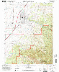 2001 Fillmore2003 Print · USGSFillmore remains a vital Utah county seat at the start of the twenty-first century, anchored by its civic heritage and high mountain backdrop. Researchers can locate the Old State Capitol, the Fillmore Cem, and regional landmarks like the Fillmore Airport.
 - 2011 Map of Fillmore, 2011 Print
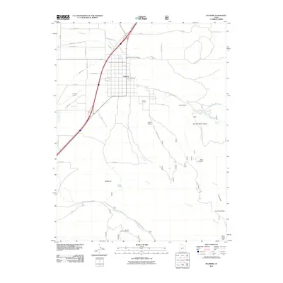 2011 Fillmore2011 Print · USGSFillmore sits at the base of the mountains in the early twenty-first century, a landscape defined by its irrigation ditches and high-elevation canyons. Genealogists and local historians can trace the town grid and find specific sites like the Fillmore Cemetery, Ruths Pond, and Mountain Sheep Canyon.
 - 2014 Map of Fillmore, 2014 Print
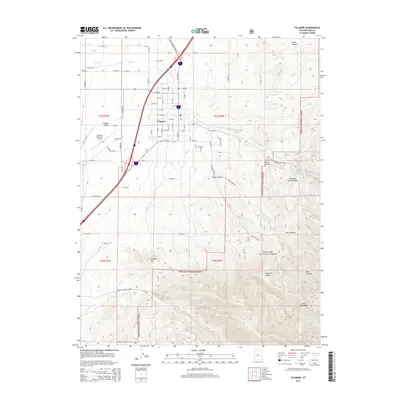 2014 Fillmore2014 Print · USGSFillmore sits at the threshold of the Pahvant Range in the early twenty-first century, showing the intersection of town life and forest wilderness. Researchers can trace local landmarks like Fillmore Cem or explore the drainage of Chalk Cr and Meadow Cr.
 - 2017 Map of Fillmore, 2017 Print
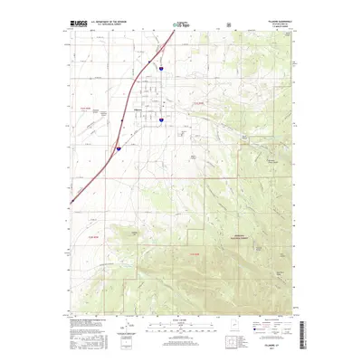 2017 Fillmore2017 Print · USGSThe Millard County seat in the mid-2010s is shown at the base of the Pahvant Range, where irrigation and forest access define local life. Trace the town's growth from the Fillmore Cem to the Fillmore Municipal Airport and out toward Fishlake National Forest.
 - 2020 Map of Fillmore, 2020 Print
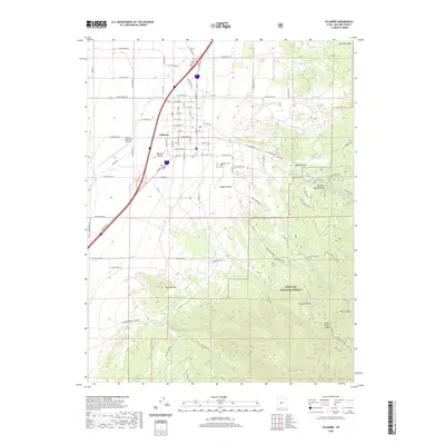 2020 Fillmore2020 Print · USGSFillmore sits at the edge of the desert and the mountains in the early twenty-first century, serving as a gateway to the high plateau. Researchers can trace the town's expansion toward Fillmore Municipal Airport or explore the rugged trails of Fishlake National Forest through Mountain Sheep Canyon and Maple Hollow.
 - 2023 Map of Fillmore, 2023 Print
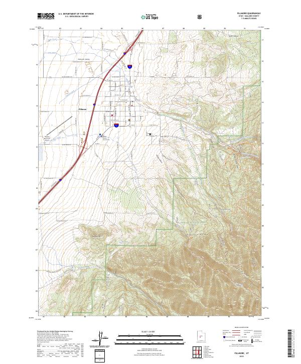 2023 Fillmore2023 Print · USGSFillmore stands as a gateway between the Pahvant Valley and the high ridges of the Fishlake National Forest in this modern era survey. Local historians can trace the town's layout from the Millard County Court House to the Fillmore Cem, or follow trails like the Black Cedar Trl into Chalk Creek Canyon.
End of results
Showing maps 1-12 of 12
Top cities near Fillmore
Frequently asked questions
- What are the different types of historical maps available for Fillmore?
- What is the oldest map of Fillmore?
- Where can I purchase historical maps of Fillmore for my home or office?
- Where can I download high-res historical maps of Fillmore?
- Are there historical topographic maps available for Fillmore?
- Is there historical aerial imagery available for Fillmore?
- Where are historical maps of Fillmore sourced from?