Old Maps of Littleton, Utah for Metal Detecting
Plan your next treasure hunt with 13 historic maps of Littleton. Find old homesites, ghost towns, trails, and gathering spots that may be lost to time — perfect for identifying promising metal detecting locations.
- Locate forgotten sites: Uncover places like long-lost settlements, abandoned rail lines, or gathering spots.
- Plan better hunts: Use map overlays combined with LiDAR or satellite views to narrow in on historically rich areas.
- Made for detectorists: Thousands of hobbyists use these maps to discover relics, coins, and hidden history.
Use these historic maps to boost your research and find new opportunities beneath the surface of Littleton.
Littleton, UT maps
(13)- 1954 Map of Ogden, 1967 Print
 1954 Ogden1967 Print · USGSThe northern Utah corridor and Wyoming borderlands are captured here in the mid-1950s, showing the region's transition from mountain wilderness to settled valleys. Researchers can trace historic institutions like Utah State University or locate vanished points like Church Butte Station and the Trappist Monastery.3 unique versions available
 - 1958 Map of Ogden
 1958 Ogden1958 Print · USGSNorthern Utah and southwestern Wyoming are captured here during a period of steady growth and military expansion. You can trace the Union Pacific rail lines and early road networks connecting Ogden and Logan to Bear Lake and Evanston.
 - 1960 Map of Ogden
 1960 Ogden1960 Print · USGSIn the mid-1950s, this region of the American West balanced military expansion with frontier history along the Union Pacific RR. Genealogists and historians can trace old settlements like Fort Bridger, the residential growth of Washington Terrace, and industrial sites from the Hill AFB complex to the coal mines of Kemmerer.
 - 1961 Map of Morgan, 1963 Print
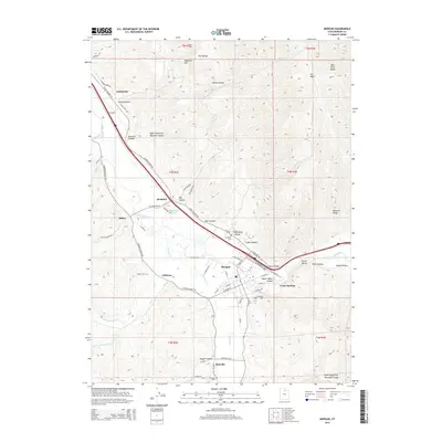
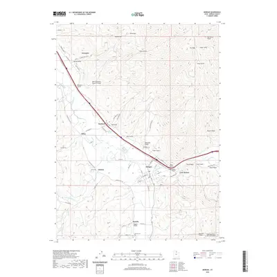
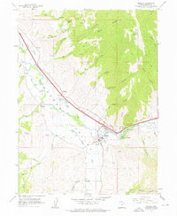 1961 Morgan1963 Print · USGSThe Weber River valley in the early sixties shows a landscape of rail-connected farming communities and mountain canyons. Trace the development of Morgan, Enterprise, and Littleton alongside the Union Pacific line and Como Springs.3 unique versions available
 - 1961 Map of Morgan, 1963 Print
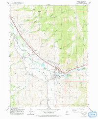
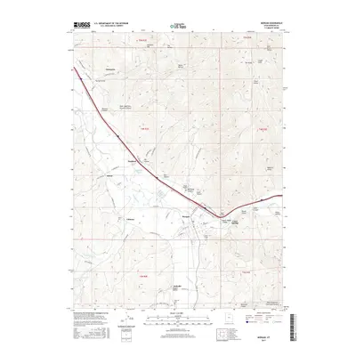
 1961 Morgan1963 Print · USGSThe Weber River valley in the early sixties was a critical junction of rail industry and mountain agriculture. Local historians can trace the industrial footprint of the Cement Plant near Devils Slide and find vanished rural landmarks like the Monastery and Como Springs.2 unique versions available
 - 1986 Map of Ogden, 1987 Print
 1986 Ogden1987 Print · USGSThe Wasatch Front was undergoing significant development in the mid-eighties as the urban corridor stretched from Ogden toward the Great Salt Lake. Researchers can trace the legacy of regional transport and defense via Hill Air Force Base, the Union Pacific line, and mountain passes near Snow Basin.
 - 1991 Map of Morgan
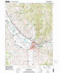
 1991 Morgan1991 Print · USGSMorgan Valley's river-fed agriculture and mountain settlements are shown in detail during the early nineties. Researchers can trace irrigation works like the Gateway Canal and find local landmarks from Como Springs to the Milton Cem.
 - 1997 Map of Morgan, 2001 Print
 1997 Morgan2001 Print · USGSThe Morgan Valley at the close of the twentieth century shows a landscape shaped by the Weber River and the Union Pacific railroad. Researchers can locate the Milton Cem, trace the irrigation network from the Stoddard Diversion Dam, and find family landmarks like Roswells Spring Hollow.
 - 2011 Map of Morgan, 2011 Print
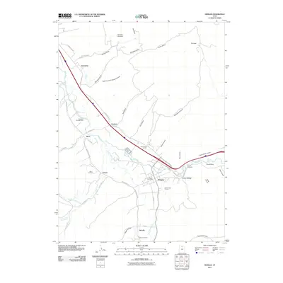 2011 Morgan2011 Print · USGSCovers Littleton, including Morgan, Enterprise, and other nearby areas
 - 2014 Map of Morgan, 2014 Print
 2014 Morgan2014 Print · USGSCovers Littleton, including Morgan, Enterprise, and other nearby areas
 - 2017 Map of Morgan, 2017 Print
 2017 Morgan2017 Print · USGSCovers Littleton, including Morgan, Enterprise, and other nearby areas
 - 2020 Map of Morgan, 2020 Print
 2020 Morgan2020 Print · USGSCovers Littleton, including Morgan, Enterprise, and other nearby areas
 - 2023 Map of Morgan, 2023 Print
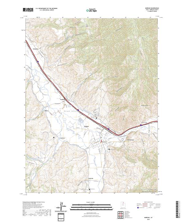 2023 Morgan2023 Print · USGSMorgan Valley and its surrounding mountain ranges are shown here in the 2020s, highlighting the enduring riverside settlements from Enterprise to Richville. Genealogists and local historians can locate the Morgan County Court House and four distinct cemeteries including Milton Cem and Richville Cem.
End of results
Showing maps 1-13 of 13
Top cities near Littleton
- Salt Lake City historical maps
- Ogden historical maps
- Layton historical maps
- Bountiful historical maps
- Kaysville historical maps
- Farmington historical maps
See more
Frequently asked questions
- What are the different types of historical maps available for Littleton?
- What is the oldest map of Littleton?
- Where can I purchase historical maps of Littleton for my home or office?
- Where can I download high-res historical maps of Littleton?
- Are there historical topographic maps available for Littleton?
- Is there historical aerial imagery available for Littleton?
- Where are historical maps of Littleton sourced from?