2000s (21st Century) Maps of Bullion Falls, Utah
Explore 6 historic maps of Bullion Falls from the 2000s (21st Century). These maps offer a rare glimpse into what life looked like during the 2000s — showing old roads, neighborhoods, homes, and landmarks that have changed or disappeared over time.
Whether you're researching your family's past, planning a metal detecting trip, or studying how Bullion Falls's landscape evolved across the 2000s, these high-resolution maps are a powerful tool for exploring the history of this region.
- Focus on a specific era: All maps on this page are from the 2000s, giving you a focused view of this time period.
- See what’s changed: Compare century-old streets, trails, and buildings to today's modern landscape using overlays and satellite layers.
- Research with precision: Use these maps for genealogy, historical research, land use analysis, or educational projects.
- View, download, or print: Maps are fully viewable online in high resolution, and can be downloaded or printed for your own records.
Start exploring Bullion Falls's history through authentic maps from the 2000s. This is your window into the past.
Bullion Falls, UT maps
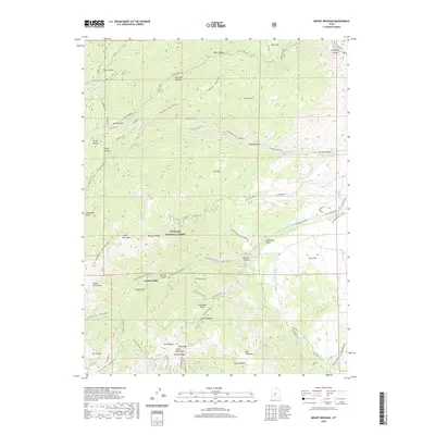
(6)- 2001 Map of Mount Brigham, 2003 Print
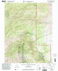 2001 Mount Brigham2003 Print · USGSThe mining peaks of the Piute range are shown here at the turn of the twenty-first century, featuring the high-elevation work sites of Fishlake National Forest. Trace the historical footprint of mineral extraction at the Silver King Mine, Rainbow Mine, and the waters of Bullion Falls.
 - 2011 Map of Mount Brigham, 2011 Print
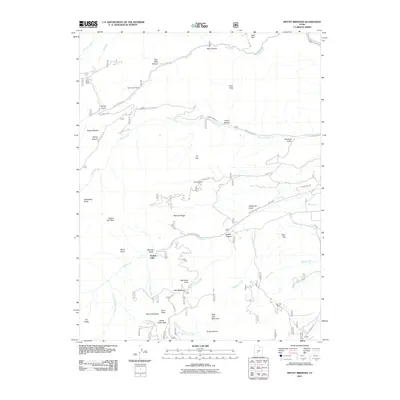 2011 Mount Brigham2011 Print · USGSCovers Bullion Falls, including Marysvale, Piute County, and other nearby areas
 - 2014 Map of Mount Brigham, 2014 Print
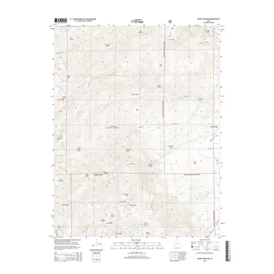 2014 Mount Brigham2014 Print · USGSCovers Bullion Falls, including Marysvale, Piute County, and other nearby areas
 - 2017 Map of Mount Brigham, 2017 Print
 2017 Mount Brigham2017 Print · USGSCovers Bullion Falls, including Marysvale, Piute County, and other nearby areas
 - 2020 Map of Mount Brigham, 2020 Print
 2020 Mount Brigham2020 Print · USGSCovers Bullion Falls, including Marysvale, Piute County, and other nearby areas
 - 2023 Map of Mount Brigham, 2023 Print
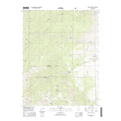
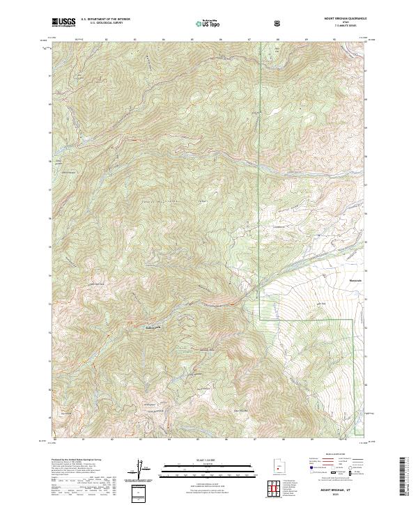 2023 Mount Brigham2023 Print · USGSThe high Tushar Mountains in south-central Utah are shown here in the 2020s, revealing a landscape shaped by mining and high-country transit. Researchers can trace historic access routes like Bullion Canyon Rd to landmarks such as Bullion Falls and Mt Brigham.
End of results
Showing maps 1-6 of 6
Top cities near Bullion Falls
- Monroe historical maps
- Circleville historical maps
- Marysvale historical maps
- Joseph historical maps
- Junction historical maps
- Kingston historical maps
Frequently asked questions
- What are the different types of historical maps available for Bullion Falls?
- What is the oldest map of Bullion Falls?
- Where can I purchase historical maps of Bullion Falls for my home or office?
- Where can I download high-res historical maps of Bullion Falls?
- Are there historical topographic maps available for Bullion Falls?
- Is there historical aerial imagery available for Bullion Falls?
- Where are historical maps of Bullion Falls sourced from?