Old Maps of Circleville, Utah for Metal Detecting
Plan your next treasure hunt with 18 historic maps of Circleville. Find old homesites, ghost towns, trails, and gathering spots that may be lost to time — perfect for identifying promising metal detecting locations.
- Locate forgotten sites: Uncover places like long-lost settlements, abandoned rail lines, or gathering spots.
- Plan better hunts: Use map overlays combined with LiDAR or satellite views to narrow in on historically rich areas.
- Made for detectorists: Thousands of hobbyists use these maps to discover relics, coins, and hidden history.
Use these historic maps to boost your research and find new opportunities beneath the surface of Circleville.
Circleville, UT maps
(18)- 1885 Map of Beaver
 1885 Beaver1885 Print · USGSSouth-central Utah in the 1880s was a landscape of high plateaus and valley settlements tied to the lifelines of the Sevier River and Beaver Creek. Family researchers can trace early town layouts in Beaver and Fillmore or locate rural outposts like Minersville and Kanosh.5 unique versions available
 - 1953 Map of Richfield, 1963 Print
 1953 Richfield1963 Print · USGSCentral Utah in the early fifties reveals a complex geography of high plateaus and desert basins tied together by the Union Pacific rail lines. Genealogists and historians can trace family roots in Richfield or Kanosh and locate remote operations like the Blue Star Mine or Newhouse.3 unique versions available
 - 1958 Map of Richfield
 1958 Richfield1958 Print · USGSCentral Utah in the late fifties shows a landscape of mountain forests and desert basins connected by the Union Pacific Railroad. Genealogists and historians can trace rail stops at Nada Station, mines like the Blue Star Mine, and tribal lands of the Paiute Indian Reservation.2 unique versions available
 - 1966 Map of Circleville, 1968 Print
 1966 Circleville1968 Print · USGSThe Mormon village of Circleville is captured in the mid-sixties as it serves the surrounding high-desert ranching and farming operations. Researchers can trace irrigation networks like the Lost Creek Canal and find family-named landmarks such as Betenson Flat and Lums Creek.
 - 1966 Map of Junction, 1968 Print
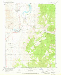 1966 Junction1968 Print · USGSThe high desert valley of Junction and Kingston is captured here in the mid-sixties, showing a landscape defined by the Sevier River and complex irrigation. Researchers can trace historic water routes like the Kingston Canal or locate local landmarks such as Piute High Sch and several Prospects in the foothills.3 unique versions available
 - 1980 Map of Beaver, 1981 Print
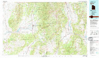 1980 Beaver1981 Print · USGSSouthern Utah at the start of the 1980s reveals a rugged landscape of high mountain plateaus and essential desert irrigation networks. Researchers can trace the path of the Denver and Rio Grande Western through Marysvale or locate local landmarks like the Deer Trail Mine and Puffer Lake.2 unique versions available
 - 2001 Map of Circleville, 2003 Print
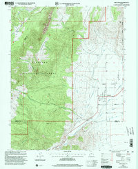 2001 Circleville2003 Print · USGSCircleville and the surrounding valley floor are shown at the start of the twenty-first century, revealing a landscape shaped by the Sevier River. Genealogists and local historians can trace the Cem and irrigation networks like the West Canal and Aqueduct.
 - 2002 Map of Junction, 2005 Print
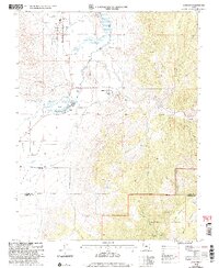 2002 Junction2005 Print · USGSPiute County at the start of the millennium remains a landscape of high-mountain ranching and river-fed agriculture. Genealogists and local historians can trace the foundations of Junction and Kingston, locating landmarks like the Piute High Sch and the Cem near the canyon mouth.
 - 2011 Map of Junction, 2011 Print
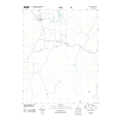 2011 Junction2011 Print · USGSPiute County at the start of the 2010s shows a landscape of river-fed valleys and high-desert plateaus. Genealogists and historians can trace the multiple burial sites around Junction, including the Junction Hill Cemetery, or follow the Sevier River through Circle Valley.
 - 2011 Map of Circleville, 2011 Print
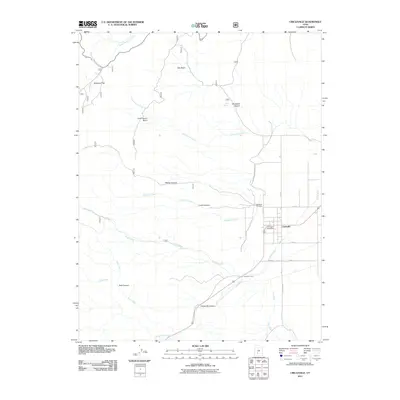 2011 Circleville2011 Print · USGSCircleville and the Sevier River valley are shown here in the early twenty-first century, surrounded by the high-plateau drainage basins of Piute County. Researchers can trace local landmarks like the Circleville Cemetery, the Kingston Canal, and the Circleville Post Office.
 - 2014 Map of Circleville, 2014 Print
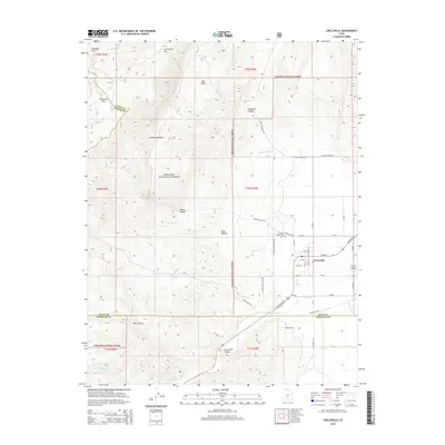 2014 Circleville2014 Print · USGSCircleville and the surrounding Circle Valley are shown in detail during the early twenty-first century. Genealogists and historians can trace the local irrigation network via the Kingston Canal and locate the Circleville Cem near the Sevier River.
 - 2014 Map of Junction, 2014 Print
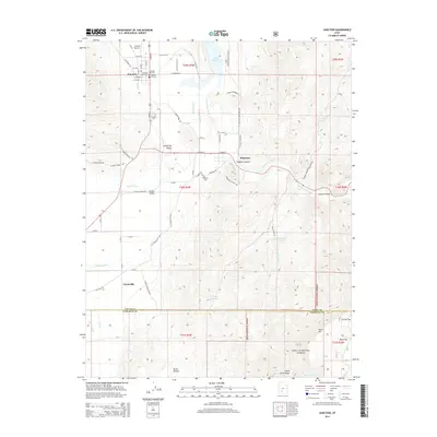 2014 Junction2014 Print · USGSPiute County at the start of the 2010s shows a landscape of river-fed valleys and high forest plateaus. Genealogists can trace family names through numerous local burial sites like Junction Hill Cem and Kingston Cem near the Sevier River.
 - 2017 Map of Circleville, 2017 Print
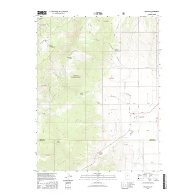 2017 Circleville2017 Print · USGSCircleville and the surrounding Circle Valley are shown in detail during the late twenty-teens, highlighting the intersection of mountain forest and river irrigation. Researchers can trace local history through the Circleville Cem and the complex network of the Kingston Canal and Lost Cr Canal.
 - 2017 Map of Junction, 2017 Print
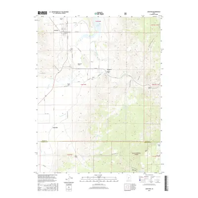 2017 Junction2017 Print · USGSThe Sevier River valleys of south-central Utah are captured here in a moment of modern agricultural and forest management. Researchers can trace local heritage through numerous burial sites like Lower Cemetery and irrigation landmarks such as Piute Reservoir and the Kingston Canal.
 - 2020 Map of Circleville, 2020 Print
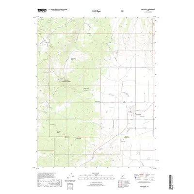 2020 Circleville2020 Print · USGSCircleville and the surrounding Circle Valley are shown in the early twenty-first century as the Sevier River corridor transitions into the forest highlands. Researchers can trace the local irrigation network via Kingston Canal or locate family sites near Circleville Cem and Betenson Flat.
 - 2020 Map of Junction, 2020 Print
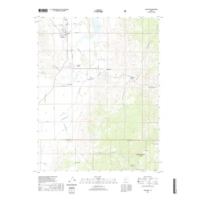 2020 Junction2020 Print · USGSThe high valleys of Piute County are shown here in the modern era as the Sevier River flows through Marysvale and Circle Valleys. Genealogists can locate several local burial sites including Junction Cem and Kingston Cem, alongside landmarks like Junction Airport.
 - 2023 Map of Circleville, 2023 Print
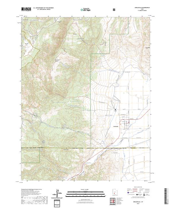 2023 Circleville2023 Print · USGSCircleville and the Circle Valley are shown in detail during the early 21st century, framed by the Tushar Mountains and Sevier River. Genealogists can locate the Circleville Cem and Junction, while researchers can trace the course of the Kingston Canal.
 - 2023 Map of Junction, 2023 Print
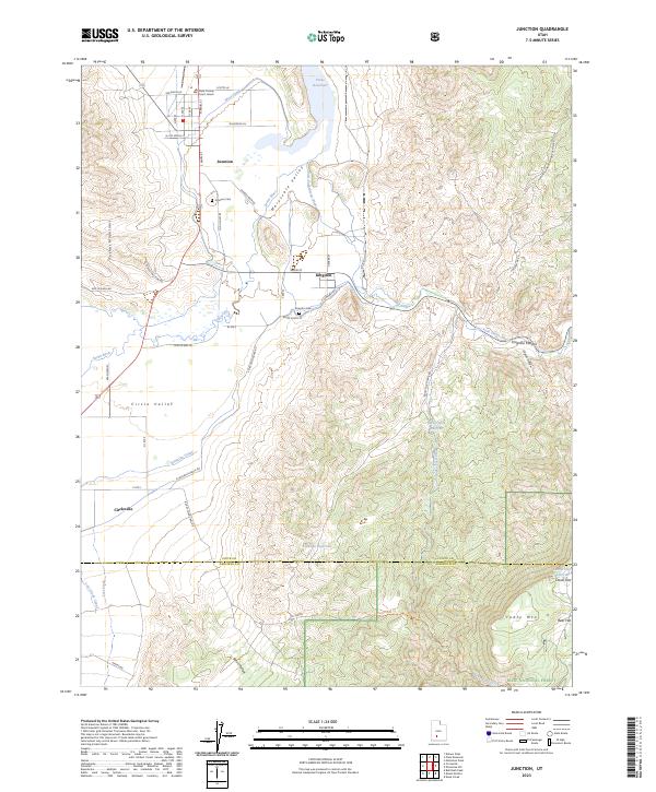 2023 Junction2023 Print · USGSThe Marysvale and Circle Valleys are captured in this recent survey, showcasing the vital water networks of rural Piute County. Trace the irrigation routes of the Kingston Canal or locate local landmarks like the Piute County Court House and Junction Cem.
End of results
Showing maps 1-18 of 18
Top cities near Circleville
Frequently asked questions
- What are the different types of historical maps available for Circleville?
- What is the oldest map of Circleville?
- Where can I purchase historical maps of Circleville for my home or office?
- Where can I download high-res historical maps of Circleville?
- Are there historical topographic maps available for Circleville?
- Is there historical aerial imagery available for Circleville?
- Where are historical maps of Circleville sourced from?