Old Maps of Echo Resort, Utah for Academic Research
Study the evolution of Echo Resort with 14 high-resolution historic maps. Whether you're teaching, researching, or modeling changes in land use, these maps provide essential visual documentation of urban, environmental, and geographic change.
- Analyze long-term change: Track patterns in development, transportation, and natural features.
- Ideal for environmental or urban studies: Support academic projects with primary historical map data.
- Use in the classroom or lab: Educators and researchers rely on these maps to bring historical context to life.
These maps are a powerful tool for teaching, research, and visualizing how Echo Resort has changed over the decades.
Echo Resort, UT maps
(14)- 1885 Map of Salt Lake
 1885 Salt Lake1885 Print · USGSThe Wasatch Front and surrounding high valleys appear here in the mid-1880s during a period of rapid mining and rail expansion. Genealogists and historians can trace early town sites and mining camps including Alta, Silver City, and the military grounds of Fort Douglass.7 unique versions available
 - 1900 Map of Coalville, 1955 Print
 1900 Coalville1955 Print · USGSThe high valleys of Summit and Wasatch counties are captured at the turn of the century as the silver and coal industries flourished. Researchers can trace early settlements like Rockport and Hailstone or locate the industrial Ontario Drain Tunnel near Park City.2 unique versions available
 - 1903 Map of Coalville, 1921 Print
 1903 Coalville1921 Print · USGSUpper Utah at the turn of the century reveals a landscape defined by mining corridors and valley settlements. Genealogists and historians can trace the early path of the Union Pacific R. R. through Coalville or locate family-named sites like Rigby's Ranch and the Ontario Drain Tunnel.2 unique versions available
 - 1954 Map of Salt Lake City, 1964 Print
 1954 Salt Lake City1964 Print · USGSThe Wasatch Front and Uinta Mountains are captured here in the mid-fifties, showing the industrial heart of Utah and its high mountain wilderness. Researchers can locate vanished infrastructure and landmarks like the Geneva Steel Plant, Bingham Canyon Mine, and the Utah State Prison.4 unique versions available
 - 1958 Map of Salt Lake City
 1958 Salt Lake City1958 Print · USGSThe Wasatch Front and Uinta Basin are captured during a period of significant post-war growth and industrial development. Researchers can trace the mid-century rail lines of the Bamberger RR and locate sites like the Kiegley Limestone Quarry and Camp Williams Military Reservation.
 - 1960 Map of Salt Lake City
 1960 Salt Lake City1960 Print · USGSThe Wasatch Front and High Uintas are captured mid-century as the Salt Lake Valley underwent significant postwar expansion. Genealogists and historians can trace rail lines like the Union Pacific and locate established landmarks such as Fort Douglas, Camp Williams, and the Bingham Canyon Mine.
 - 1967 Map of Coalville, 1970 Print
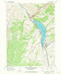 1967 Coalville1970 Print · USGSIn the 1960s, the Weber River valley was a landscape defined by the Union Pacific and the growing Echo Reservoir. Genealogists can trace family landmarks like Tom Harris Hollow or locate the North Summit HS and Cem in Coalville.
 - 1980 Map of Salt Lake City
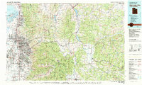 1980 Salt Lake City1980 Print · USGSSalt Lake City and the surrounding Wasatch Range are shown in the early eighties during a period of rapid suburban growth. Genealogists and historians can trace old mining operations like the Ontario Mine and Wasatch Mine or follow the path of the Union Pacific through the canyons.3 unique versions available
 - 1997 Map of Coalville, 2001 Print
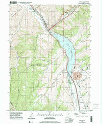 1997 Coalville2001 Print · USGSThe Weber River valley in the late nineties shows a landscape defined by water management and transit. Trace the shoreline of Echo Reservoir and locate historic markers in Coalville, from the Rodeo Grounds to the Cem.
 - 2011 Map of Coalville, 2011 Print
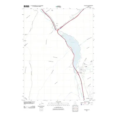 2011 Coalville2011 Print · USGSThe river valleys and canyons of Summit County come into focus in this early twenty-first-century survey of Coalville and Echo. Genealogists and local historians can locate the Coalville Cemetery, Echo Cemetery, and landmarks like the Coalville Post Office.
 - 2014 Map of Coalville, 2014 Print
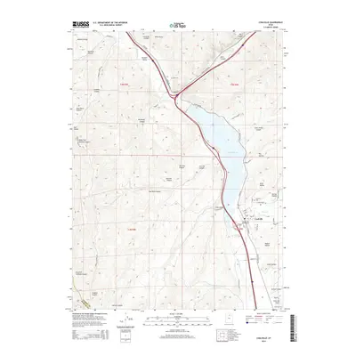 2014 Coalville2014 Print · USGSCoalville and the Weber River valley are shown here in the early twenty-first century as the region balanced its agricultural roots with modern infrastructure. Genealogists can locate family sites at Coalville Cem and Echo Cem, or trace the winding waters of Chalk Cr and the Echo Reservoir.
 - 2017 Map of Coalville, 2017 Print
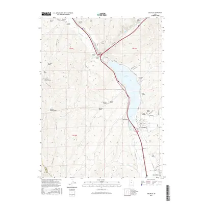 2017 Coalville2017 Print · USGSThe Weber River valley and its surrounding canyons are captured here in the late 2010s, showcasing the area's transition into a recreation and transit corridor. Researchers can locate family roots at the Coalville Cem or trace the path of the Rail Trail near Echo Reservoir.
 - 2020 Map of Coalville, 2020 Print
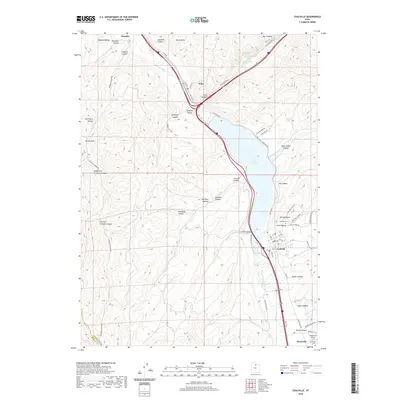 2020 Coalville2020 Print · USGSThe Weber River valley in the early twenty-first century reveals a landscape defined by its historic settlements and modern infrastructure. Genealogists and local historians can trace the foundations of Coalville, Henefer, and Echo while locating landmarks like Coalville Cem and the Rail Trail.
 - 2023 Map of Coalville, 2023 Print
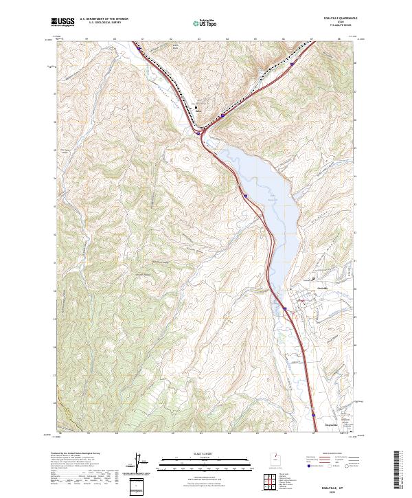 2023 Coalville2023 Print · USGSThe Weber River valley and its surrounding foothills are captured here in a period of modern preservation. Researchers can trace the heritage of local settlements through the Echo Historical Cem or locate the Hoytsville Airport and the Rail Trl.
End of results
Showing maps 1-14 of 14
Top cities near Echo Resort
Frequently asked questions
- What are the different types of historical maps available for Echo Resort?
- What is the oldest map of Echo Resort?
- Where can I purchase historical maps of Echo Resort for my home or office?
- Where can I download high-res historical maps of Echo Resort?
- Are there historical topographic maps available for Echo Resort?
- Is there historical aerial imagery available for Echo Resort?
- Where are historical maps of Echo Resort sourced from?