Old Maps of Pehrson, Utah for Hiking & Exploration
Hike through history with 12 historic maps of Pehrson. Explore old trails, ghost towns, and forgotten backroads — perfect for outdoor adventurers and local explorers.
- Rediscover forgotten places: Map out old mining camps, roads, and footpaths that no longer exist on modern maps.
- Layer with modern tools: Combine with LiDAR or satellite views to plan hikes through historical terrain.
- Made for exploration: Popular among hikers, overlanders, and local history lovers.
Use these maps to find adventure and explore the hidden past of Pehrson.
Pehrson, UT maps
(12)- 1885 Map of Tooele Valley
 1885 Tooele Valley1885 Print · USGSThe valleys and ranges west of the Wasatch are captured here in the mid-1880s, showcasing the early mining and rail infrastructure of the region. Genealogists can trace early settlements like Grantsville, Ophir, and Stockton, or the route of the Utah and Nevada R. R.6 unique versions available
 - 1953 Map of Tooele, 1968 Print
 1953 Tooele1968 Print · USGSTooele County is shown here in the 1950s, a vast landscape transitioning between the industrial growth of the Salt Lake Valley and isolated military testing grounds. Researchers can trace the routes of the Western Pacific railroad and locate historic outposts like Iosepa Ranch and St John Station.3 unique versions available
 - 1955 Map of Tooele, 1958 Print
 1955 Tooele1958 Print · USGSTooele County and the Great Salt Lake are captured here during the mid-fifties, an era of burgeoning military testing and industrial mining. Researchers can trace the rail sidings at Salduro Station, the grounds of the Deseret Chemical Corps Depot, and the International Smelting Co facilities.3 unique versions available
 - 1971 Map of Lofgreen, 1974 Print
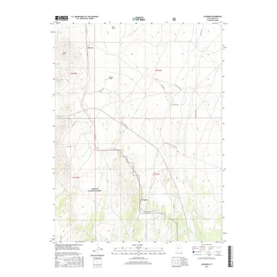
 1971 Lofgreen1974 Print · USGSRush Valley and the settlement of Lofgreen are captured here in the early 1970s, during an era when the railroad and ranching still dictated the pace of life. Researchers can trace the Union Pacific route and locate specific landmarks like the Water Tank and Scranton Well.
 - 1979 Map of Rush Valley
 1979 Rush Valley1979 Print · USGSTooele and Utah Counties during the late seventies reveal a unique transition from historic mining and ranching to modern military operations. Researchers can trace the Union Pacific Railroad past historic sites like Fairfield and mining camps such as Ophir.2 unique versions available
 - 1993 Map of Lofgreen
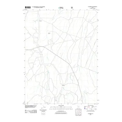
 1993 Lofgreen1993 Print · USGSRush Valley and the high desert of Tooele County are captured here in the early nineties, showing a landscape of remote ranching and mining. Researchers can trace the Union Pacific line to old sites like Lofgreen and the vanished mining camp of Scranton.
 - 1998 Map of Lofgreen, 2002 Print
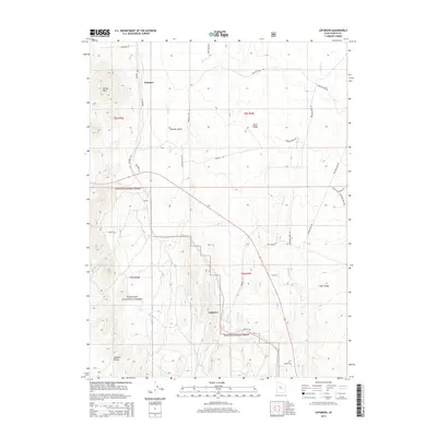
 1998 Lofgreen2002 Print · USGSThe arid eastern Great Basin landscape of the late nineties comes alive here, showing the ranching and mining roots of Tooele County. Genealogists and historians can trace family sites like Pehrson, the settlement of Lofgreen, and numerous remote prospect sites and gravel pits.
 - 2011 Map of Lofgreen, 2011 Print
 2011 Lofgreen2011 Print · USGSCovers Pehrson, including Lofgreen, Tooele County, and other nearby areas
 - 2014 Map of Lofgreen, 2014 Print
 2014 Lofgreen2014 Print · USGSCovers Pehrson, including Lofgreen, Tooele County, and other nearby areas
 - 2017 Map of Lofgreen, 2017 Print
 2017 Lofgreen2017 Print · USGSCovers Pehrson, including Lofgreen, Tooele County, and other nearby areas
 - 2020 Map of Lofgreen, 2020 Print
 2020 Lofgreen2020 Print · USGSCovers Pehrson, including Lofgreen, Tooele County, and other nearby areas
 - 2023 Map of Lofgreen, 2023 Print
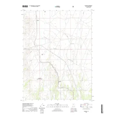
 2023 Lofgreen2023 Print · USGSTooele County's high-desert basins are captured in 2023, showing the intersection of the West Tintic Mountains and the Vernon Hills. Researchers can trace old routes and remote settlements like Lofgreen and Pehrson along the banks of Sable Creek.
End of results
Showing maps 1-12 of 12
Top cities near Pehrson
- Eagle Mountain historical maps
- Eureka historical maps
- Rush Valley historical maps
- Cedar Fort historical maps
- Vernon historical maps
- Fairfield historical maps
Frequently asked questions
- What are the different types of historical maps available for Pehrson?
- What is the oldest map of Pehrson?
- Where can I purchase historical maps of Pehrson for my home or office?
- Where can I download high-res historical maps of Pehrson?
- Are there historical topographic maps available for Pehrson?
- Is there historical aerial imagery available for Pehrson?
- Where are historical maps of Pehrson sourced from?