2020s Maps of Apple Valley, Utah
Explore 4 historic maps of Apple Valley from the 2020s. These maps offer a rare glimpse into what life looked like during the 2020s — showing old roads, neighborhoods, homes, and landmarks that have changed or disappeared over time.
Whether you're researching your family's past, planning a metal detecting trip, or studying how Apple Valley's landscape evolved across the 2020s, these high-resolution maps are a powerful tool for exploring the history of this region.
- Focus on a specific era: All maps on this page are from the 2020s, giving you a focused view of this time period.
- See what’s changed: Compare century-old streets, trails, and buildings to today's modern landscape using overlays and satellite layers.
- Research with precision: Use these maps for genealogy, historical research, land use analysis, or educational projects.
- View, download, or print: Maps are fully viewable online in high resolution, and can be downloaded or printed for your own records.
Start exploring Apple Valley's history through authentic maps from the 2020s. This is your window into the past.
Apple Valley, UT maps
(4)- 2023 Map of Smithsonian Butte, 2023 Print
 2023 Smithsonian Butte2023 Print · USGSSouthwestern Utah's high desert plateaus and sandstone cliffs are captured here during a period of modern growth and conservation. Researchers can trace the residential expansion of Hildale and Apple Valley alongside rugged landmarks like Smithsonian Butte and the Vermilion Cliffs.
 - 2023 Map of Little Creek Mountain, 2023 Print
 2023 Little Creek Mountain2023 Print · USGSApple Valley and the surrounding high desert plateaus are documented in this recent survey. Local researchers can trace residential growth near Apple Valley or locate land features like Abs Clearing and Gould Spring.
 - 2023 Map of Virgin, 2023 Print
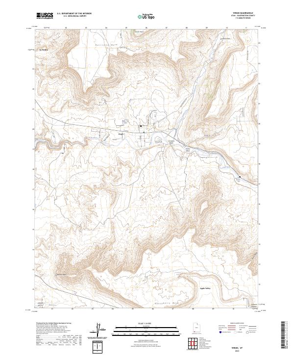 2023 Virgin2023 Print · USGSThe Virgin River valley comes into sharp focus in the early 2020s, revealing the small settlements and expansive mesas of Washington County. Researchers can trace family history at the Virgin Cem and Duncan's Retreat Cem or explore the terrain of Hurricane Mesa.
 - 2023 Map of Springdale West, 2023 Print
 2023 Springdale West2023 Print · USGSThe Virgin River valley in Washington County was a vital corridor for early Utah settlers and remains a landscape of staggering verticality. Researchers can trace the legacy of pioneer families at Grafton, Rockville, and the Springdale - Jolley - Gifford Cem.
End of results
Showing maps 1-4 of 4
Top cities near Apple Valley
- Hurricane historical maps
- La Verkin historical maps
- Colorado City historical maps
- Centennial Park historical maps
- Toquerville historical maps
- Hildale historical maps
See more
Frequently asked questions
- What are the different types of historical maps available for Apple Valley?
- What is the oldest map of Apple Valley?
- Where can I purchase historical maps of Apple Valley for my home or office?
- Where can I download high-res historical maps of Apple Valley?
- Are there historical topographic maps available for Apple Valley?
- Is there historical aerial imagery available for Apple Valley?
- Where are historical maps of Apple Valley sourced from?