Old Maps of Bristol, Vermont for Genealogy
Trace your family roots with 27 historic maps of Bristol. These high-res maps reveal old neighborhoods, homesites, landmarks, and streets — helping you uncover where your ancestors lived and how the area evolved over time.
- Explore historic neighborhoods: Identify where your relatives may have lived in the 1800s or 1900s.
- Compare maps over time: Trace the changes in streets, buildings, and landmarks for multi-generational research.
- Perfect for genealogy & ancestry research: Used by family historians and researchers to map out lineage and migration.
These maps are an incredible resource for exploring your personal connection to Bristol's past.
Bristol, VT maps
(27)- 1903 Map of Middlebury, 1956 Print
 1903 Middlebury1956 Print · USGSAddison County at the turn of the century shows a landscape of mountain-shadowed valley towns and early iron mining. Researchers can trace the legacy of industry and transit at the Bristol Orebed, New Haven Mills, and along the historic Plank Road.2 unique versions available
 - 1905 Map of Middlebury
 1905 Middlebury1905 Print · USGSAddison County at the start of the twentieth century shows a region defined by mountain ridges and the growing rail hub at Middlebury. Trace the path of the Rutland railroad through New Haven Junction or locate the historic Bristol Orebed.5 unique versions available
 - 1920 Map of Middlebury
 1920 Middlebury1920 Print · USGSVermont's Addison County landscape is captured here during the early twentieth century, showing a region defined by river power and iron mining. Genealogists can trace family names and small hamlets like Barnumtown, Ackworth, and the busy rail connection at New Haven Junction.
 - 1950 Map of Lake Champlain
 1950 Lake Champlain1950 Print · USGSThe Lake Champlain valley and its surrounding peaks are captured in detail during the late 1940s, showing the vital rail and road connections between New York and Vermont. Researchers can trace the routes of the Central Vermont Railway or locate old industrial centers like Mineville and Witherbee.2 unique versions available
 - 1958 Map of Lake Champlain
 1958 Lake Champlain1958 Print · USGSThe Champlain Valley and surrounding high peaks are captured here in the late fifties, showcasing the cross-border region from the Adirondacks to the Green Mountains. Researchers can trace historic rail routes like the Rutland Railway or locate old valley settlements such as Keeseville and Vergennes.2 unique versions available
 - 1962 Map of Lake Champlain, 1975 Print
 1962 Lake Champlain1975 Print · USGSLake Champlain and the high peaks of the Adirondacks and Green Mountains are captured here during the mid-twentieth century. Researchers can trace the industrial legacy of the Lyon Mountain Mine and the rail corridors of the Central Vermont RR and Delaware & Hudson RR.3 unique versions available
 - 1963 Map of South Mountain, 1964 Print
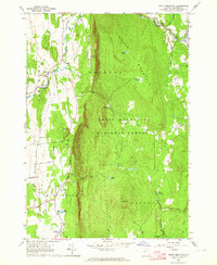 1963 South Mountain1964 Print · USGSAddison County's rural character is on display in the early sixties as the Green Mountains meet the valley floor. Researchers can trace family homesteads near New Haven Mills or locate ancestral sites at Munger Street Cem and Maple Cem.3 unique versions available
 - 1963 Map of Bristol, 1964 Print
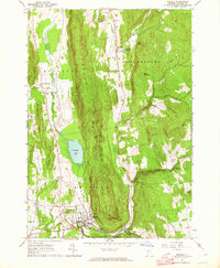 1963 Bristol1964 Print · USGSThe mid-century Green Mountains come alive in this survey of the high ridges and river valleys surrounding Bristol and Starksboro. Genealogists can trace early homesteads through landmarks like Greenwood Cem, Monkton Ch, and Robinson Sch.3 unique versions available
 - 1963 Map of Monkton, 1964 Print
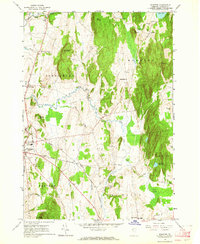 1963 Monkton1964 Print · USGSIn the early 1960s, this pocket of Addison County was a landscape of upland ridges and creek-fed valleys. Genealogists and historians can trace family ties through numerous small burying grounds like Quaker Cem and Carter Cem, or locate landmarks such as Beeman Academy and the Armory in Vergennes.3 unique versions available
 - 1986 Map of Lake Champlain South
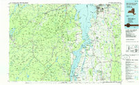 1986 Lake Champlain South1986 Print · USGSIn the mid-1980s, the shores of Lake Champlain linked the Adirondack high peaks with the Vermont valley. Genealogists and researchers can trace the rail lines of the Delaware & Hudson RR or locate historic settlements like Mineville and Au Sable Forks.2 unique versions available
 - 1997 Map of South Mountain, 2000 Print
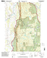 1997 South Mountain2000 Print · USGSVermont's Green Mountains and the fertile valley floor meet in this late-nineties survey of Addison County. Genealogists and hikers can trace old boundaries near West Lincoln, locate several rural burial grounds like Maple Cem, and find the Wilderness Entry Point for the Bristol Cliffs Wilderness.
 - 1997 Map of Bristol, 2000 Print
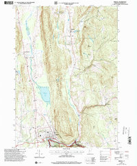 1997 Bristol2000 Print · USGSSettlement in the Green Mountain foothills is captured here during the late twentieth century, showing the rural character of Addison County. Researchers can trace family history through a high density of burial sites like Merrill Cemetery and Hallock Cemetery, or locate community landmarks in Bristol and Rocky Dale.
 - 2012 Map of South Mountain, 2012 Print
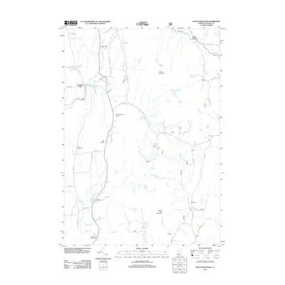 2012 South Mountain2012 Print · USGSAddison County's rural character is preserved in this early twenty-first-century survey of the New Haven River valley. Genealogists can locate family burial plots at Case Street Cem and Riverside Cem or explore the hamlets of West Lincoln and New Haven Mills.
 - 2012 Map of Bristol, 2012 Print
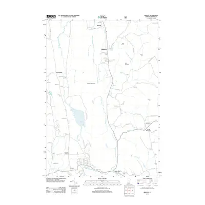 2012 Bristol2012 Print · USGSAddison County in the early twenty-first century reveals a landscape defined by the Hogback Mountains and a complex network of rural valleys. Genealogists can locate over a dozen burial grounds such as South Starksboro Friends Cem and Greenwood Cem while tracing ancestors near Rocky Dale and Starksboro.
 - 2012 Map of Vergennes East, 2012 Print
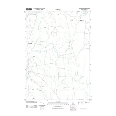 2012 Vergennes East2012 Print · USGSThe Champlain Valley hills around Monkton Boro and Ferrisburgh appear here in the early twenty-first century. Genealogists can trace family names at the Old Quaker Cem, Abel Thompson Cem, and Saint Peters Cem.
 - 2015 Map of Bristol, 2015 Print
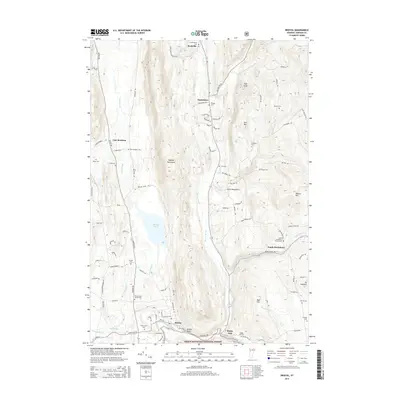 2015 Bristol2015 Print · USGSVermont's Addison County highlands are documented here in the early twenty-first century, showing the rural character of the Champlain Valley's eastern edge. Genealogists can locate family burial sites like Hillsboro Cem and Green Mount Cem or trace the drainage of the New Haven River near Bristol.
 - 2015 Map of Vergennes East, 2015 Print
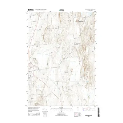 2015 Vergennes East2015 Print · USGSThe Addison County countryside near the city of Vergennes remains a landscape of family-named peaks and historic farm roads. Genealogists can trace local heritage through numerous burial sites like Quaker Cem, Old Quaker Cem, and Barnumtown Cem.
 - 2015 Map of South Mountain, 2015 Print
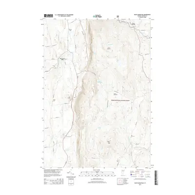 2015 South Mountain2015 Print · USGSIn the heart of the Green Mountains during the mid-2010s, this area shows a balance of valley settlements and protected forest. Genealogists can locate several burial sites including Maple Cem and Saint Therese Cem near the New Haven River.
 - 2018 Map of Bristol, 2018 Print
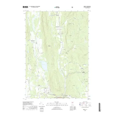 2018 Bristol2018 Print · USGSThe Addison County foothills and the northern Green Mountain National Forest are shown here in recent detail. Genealogists can locate over a dozen burial sites, including Mount Saint Joseph Cem, Hallock Cem, and Varney Cem near Bristol Pond.
 - 2018 Map of South Mountain, 2018 Print
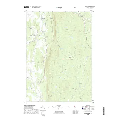 2018 South Mountain2018 Print · USGSThe foothills of the Green Mountains are shown in detail here during the late 2010s. Researchers can locate family landmarks like Munger Street Cem and Case Street Cem or trace the New Haven River past New Haven Mills.
 - 2018 Map of Vergennes East, 2018 Print
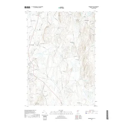 2018 Vergennes East2018 Print · USGSThe rural landscape of Addison County is captured here in the late twenty-tens, showing a region defined by agricultural traditions and upland ridges. Researchers can locate numerous historic burial sites such as Quaker Cem and Barnumtown Cem, or trace the path of Little Otter Creek.
 - 2021 Map of South Mountain, 2021 Print
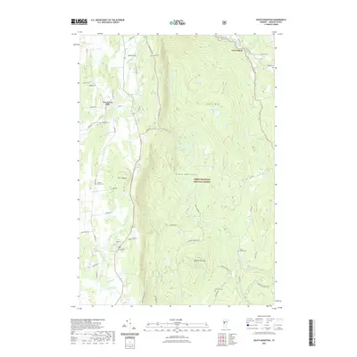 2021 South Mountain2021 Print · USGSThe eastern Green Mountains meet the valley floor in the 2020s, showing a landscape of high peaks and river-hugging hamlets. Trace family sites at New Haven Mills and West Lincoln, or locate rural cemeteries like Riverside Cem and Cushman Cem.
 - 2021 Map of Bristol, 2021 Print
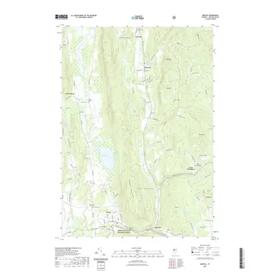 2021 Bristol2021 Print · USGSThe Addison County landscape at the start of the 2020s shows a classic Vermont mix of valley settlements and forest heights. Researchers can trace family roots through numerous burial sites like Village Cem and Taft Cem or explore the terrain around Bristol Pond and the Hogback Mountains.
 - 2021 Map of Vergennes East, 2021 Print
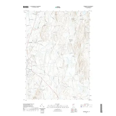 2021 Vergennes East2021 Print · USGSAddison County's rural heartland is preserved here in the early twenty-first century, showing a landscape defined by small villages and old family burial grounds. Genealogists and local historians can trace the heritage of Monkton Boro and Barnumtown through sites like the Old Quaker Cem and Abel Thompson Cem.
 - 2024 Map of Bristol, 2024 Print
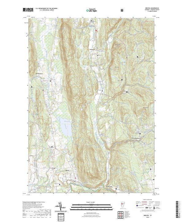 2024 Bristol2024 Print · USGSThe Champlain Valley meets the Green Mountains in this detailed survey of Addison County. Researchers can trace family history through a high density of burial grounds like Greenwood Cem, Taft Cem, and Mount Saint Joseph Cem.
Showing maps 1-25 of 27
Top cities near Bristol
- Middlebury historical maps
- Hinesburg historical maps
- Charlotte historical maps
- Ferrisburgh historical maps
- Vergennes historical maps
- Chesterfield historical maps
See more
Top neighborhoods of Bristol
Frequently asked questions
- What are the different types of historical maps available for Bristol?
- What is the oldest map of Bristol?
- Where can I purchase historical maps of Bristol for my home or office?
- Where can I download high-res historical maps of Bristol?
- Are there historical topographic maps available for Bristol?
- Is there historical aerial imagery available for Bristol?
- Where are historical maps of Bristol sourced from?