Old Maps of Goshen, Vermont for Hiking & Exploration
Hike through history with 41 historic maps of Goshen. Explore old trails, ghost towns, and forgotten backroads — perfect for outdoor adventurers and local explorers.
- Rediscover forgotten places: Map out old mining camps, roads, and footpaths that no longer exist on modern maps.
- Layer with modern tools: Combine with LiDAR or satellite views to plan hikes through historical terrain.
- Made for exploration: Popular among hikers, overlanders, and local history lovers.
Use these maps to find adventure and explore the hidden past of Goshen.
Goshen, VT maps
(41)- 1902 Map of Brandon, 1956 Print
 1902 Brandon1956 Print · USGSCentral Vermont at the turn of the century shows a landscape defined by the Otter Creek valley and the bustling Rutland Railroad. Genealogists and historians can trace old homesteads and rail sidings at Leicester Junction, Hyde Manor, and Forestdale.2 unique versions available
 - 1904 Map of Brandon
 1904 Brandon1904 Print · USGSCentral Vermont at the opening of the century shows a landscape defined by the Rutland R.R. and the winding Otter Creek. Genealogists and researchers can trace local landmarks from Hyde Manor to the mills of Forestdale and the rail hub at Leicester Junction.5 unique versions available
 - 1915 Map of Rochester, 1963 Print
 1915 Rochester1963 Print · USGSThe Green Mountains in the early twentieth century were a landscape of remote hollow schools and narrow valley settlements. Genealogists and historians can trace old property lines and landmarks like the Williams Mine, Hancock Tunnel, and the Texas School.
 - 1917 Map of Rochester
 1917 Rochester1917 Print · USGSThe Green Mountains in the mid-1910s reveal a network of isolated valley settlements and high-altitude gaps. Genealogists and hikers can trace old mountain schools like Corner School and remote landmarks such as Bingo Camp and the Hancock Tunnel.5 unique versions available
 - 1920 Map of Brandon
 1920 Brandon1920 Print · USGSVermont's western foothills and the Otter Creek valley are shown in detail during the early twentieth century. Researchers can trace the Rutland R. R. through Leicester Junction and find historic landmarks like Hyde Manor and the Lime Kiln.
 - 1944 Map of East Middlebury
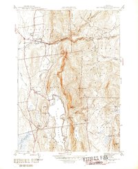 1944 East Middlebury1944 Print · USGSThe Green Mountains in the mid-1940s reveal a landscape of deep timber and valley settlements. Genealogists and hikers can trace old family burial grounds at Prospect Cem and Galvin Cem, or follow the historic path of the Leicester Hollow Trl.6 unique versions available
 - 1946 Map of Brandon
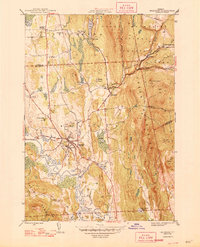 1946 Brandon1946 Print · USGSMid-century Rutland County shows a classic Vermont landscape of valley settlements and rising mountain forests. Researchers can trace the path of the Rutland railroad or locate local landmarks like the Brandon State Sch and Sanderson Bridge.6 unique versions available
 - 1946 Map of East Middlebury
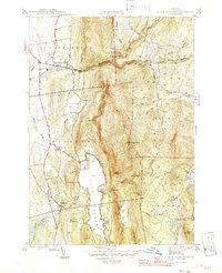 1946 East Middlebury1946 Print · USGSAddison County in the mid-1940s reveals a landscape of mountain hamlets and forest reserves. Genealogists can locate family burial plots at Prospect Cem and Cooks Cem or trace the early community at Satans Kingdom.
 - 1950 Map of Glens Falls
 1950 Glens Falls1950 Print · USGSThe Adirondacks and the Green Mountains meet in this mid-century survey of the New York and Vermont borderlands. Researchers can trace the industrial rail corridors of the Rutland RR and Delaware & Hudson RR connecting Glens Falls, Rutland, and the shores of Lake George.
 - 1956 Map of Glens Falls, 1968 Print
 1956 Glens Falls1968 Print · USGSUpper New York and the Vermont mountains are captured here in the mid-fifties, showing the rugged rail-and-river network of the Northeast. Researchers can trace the paths of the Delaware and Hudson RR and Rutland RR as they wind through valley towns like Poultney and Whitehall.3 unique versions available
 - 1959 Map of Glens Falls
 1959 Glens Falls1959 Print · USGSUpper New York and Vermont are captured here during the late 1950s, a period of transition for these mountain communities. Researchers can trace the legacy of the region's river-and-rail economy through landmarks like Lake George, Saratoga Springs, and Killington Peak.2 unique versions available
 - 1964 Map of Glens Falls
 1964 Glens Falls1964 Print · USGSThe tri-state borderlands of New York, Vermont, and New Hampshire appear here in the mid-1960s. Researchers can trace the rail routes of the Rutland RR and find historic sites like Ticonderoga and Saratoga National Historical Park.
 - 1970 Map of Mount Carmel, 1972 Print
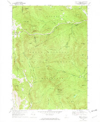 1970 Mount Carmel1972 Print · USGSThe Green Mountains in the early seventies are captured here in high detail at the meeting point of Rutland, Windsor, and Addison Counties. Researchers can locate remote burial sites like West Hill Cem and Wetmore Cem or trace trails past the Lookout Tower on Mount Carmel.
 - 1970 Map of Bread Loaf, 1973 Print
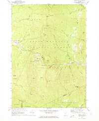 1970 Bread Loaf1973 Print · USGSThe Green Mountains near Addison and Windsor counties come alive in the 1970s, showcasing a landscape defined by winter recreation and wilderness trails. Genealogists and researchers can trace the Long Trail past Bread Loaf and the Middlebury College Snow Bowl.3 unique versions available
 - 1985 Map of Rutland, 1988 Print
 1985 Rutland1988 Print · USGSThe Upper Valley of the mid-1980s comes to life along the winding Connecticut River as it divides the Green Mountain and Granite states. Historians can trace the industrial rail hubs of White River Junction and the paths of the Appalachian Trail and Long Trail.
 - 1986 Map of Ticonderoga
 1986 Ticonderoga1986 Print · USGSThe Lake Champlain valley in the mid-eighties shows a landscape defined by Revolutionary War history and deep wilderness. Researchers can trace the Delaware and Hudson RR through the mountains or locate local landmarks like Fort Ticonderoga, St. Genevieve Cem, and the Ore Bed.
 - 1989 Map of Ticonderoga
 1989 Ticonderoga1989 Print · USGSThe Champlain Valley and Adirondack foothills meet in the late eighties, documenting a historic borderland defined by mountain lakes and timber. Genealogists and historians can trace the paths of the Delaware and Hudson RR or locate the Hubbardton Battlefield State Historic Site.2 unique versions available
 - 1997 Map of Brandon, 2000 Print
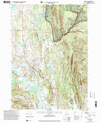 1997 Brandon2000 Print · USGSRutland County in the late nineties shows a landscape where historic valley settlements meet the rising Green Mountains. Researchers can trace the legacy of local education and industry through the Brandon State School, numerous Quarry sites, and the Churchill House.
 - 1997 Map of East Middlebury, 2000 Print
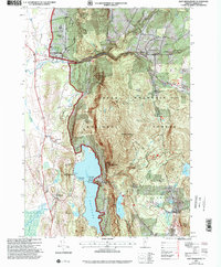 1997 East Middlebury2000 Print · USGSAddison County at the close of the twentieth century shows a landscape defined by the Green Mountains and literary heritage. Researchers can trace the boundaries of Ripton and Salisbury, locating family landmarks like Cooks Cem or the Plain Sch schoolhouse.
 - 1997 Map of Mount Carmel, 2000 Print
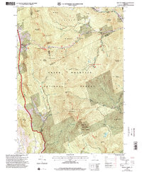 1997 Mount Carmel2000 Print · USGSRutland County's high ridges were meticulously mapped in the late nineties, documenting the intersection of the Green Mountain National Forest and local town boundaries. Researchers can trace remote mountain graveyards like Wetmore Cem and Bump Cem or locate early wilderness landmarks such as The Great Cliff and Boiling Spring.
 - 1997 Map of Bread Loaf, 2000 Print
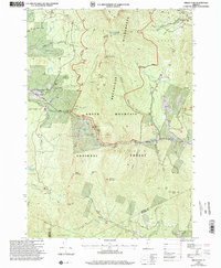 1997 Bread Loaf2000 Print · USGSThe Green Mountains of Addison and Windsor Counties are shown here at the close of the twentieth century, detailing a landscape of high peaks and deep wilderness. Researchers can locate remote landmarks like Worth Mountain Lodge, the Middlebury College Snow Bowl, and isolated mountain shelters along the Long Trail.
 - 2012 Map of Brandon, 2012 Print
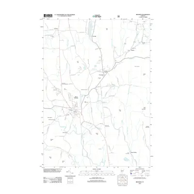 2012 Brandon2012 Print · USGSIn the Rutland County hills during the early 2010s, the landscape around Brandon remains defined by its iron-working heritage and historic burial grounds. Genealogists can trace family sites at Forestdale Cem or Brookside Cem and find the Forestdale Iron Furnace.
 - 2012 Map of Mount Carmel, 2012 Print
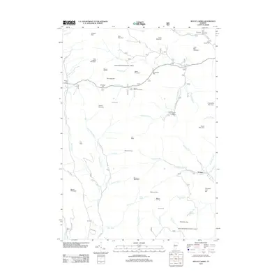 2012 Mount Carmel2012 Print · USGSThe Green Mountains of Rutland County are shown here in the early twenty-first century, detailing a landscape of high peaks and forest hideaways. Researchers can locate remote burial sites like Oliver Reynolds Cem and traces of mountain life at Michigan or Goshen Four Corners.
 - 2012 Map of Bread Loaf, 2012 Print
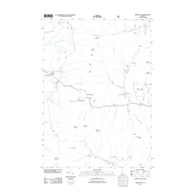 2012 Bread Loaf2012 Print · USGSThe Green Mountains near Ripton are shown here during the early twenty-first century, centered on the high-altitude campus of Middlebury Summer College. Researchers can trace old family burial grounds at Branch Cem and Lewis Cem or explore mountain landmarks like Silent Cliff.
 - 2012 Map of East Middlebury, 2012 Print
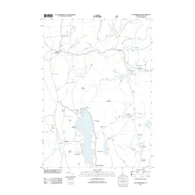 2012 East Middlebury2012 Print · USGSThe Green Mountain foothills and the shores of Lake Dunmore are captured here in the early twenty-first century. Researchers can locate historic burial sites like Gee Cem and Cooks Cem, or trace the recreational landscape of Silver Lake and Satans Kingdom.
Showing maps 1-25 of 41
Top cities near Goshen
- Middlebury historical maps
- Northfield historical maps
- Brandon historical maps
- Warren historical maps
- Bristol historical maps
- West Rutland historical maps
See more
Frequently asked questions
- What are the different types of historical maps available for Goshen?
- What is the oldest map of Goshen?
- Where can I purchase historical maps of Goshen for my home or office?
- Where can I download high-res historical maps of Goshen?
- Are there historical topographic maps available for Goshen?
- Is there historical aerial imagery available for Goshen?
- Where are historical maps of Goshen sourced from?