Old Maps of West Lincoln, Lincoln for Hiking & Exploration
Hike through history with 14 historic maps of West Lincoln. Explore old trails, ghost towns, and forgotten backroads — perfect for outdoor adventurers and local explorers.
- Rediscover forgotten places: Map out old mining camps, roads, and footpaths that no longer exist on modern maps.
- Layer with modern tools: Combine with LiDAR or satellite views to plan hikes through historical terrain.
- Made for exploration: Popular among hikers, overlanders, and local history lovers.
Use these maps to find adventure and explore the hidden past of West Lincoln.
West Lincoln, Lincoln maps
(14)- 1903 Map of Middlebury, 1956 Print
 1903 Middlebury1956 Print · USGSAddison County at the turn of the century shows a landscape of mountain-shadowed valley towns and early iron mining. Researchers can trace the legacy of industry and transit at the Bristol Orebed, New Haven Mills, and along the historic Plank Road.2 unique versions available
 - 1905 Map of Middlebury
 1905 Middlebury1905 Print · USGSAddison County at the start of the twentieth century shows a region defined by mountain ridges and the growing rail hub at Middlebury. Trace the path of the Rutland railroad through New Haven Junction or locate the historic Bristol Orebed.5 unique versions available
 - 1920 Map of Middlebury
 1920 Middlebury1920 Print · USGSVermont's Addison County landscape is captured here during the early twentieth century, showing a region defined by river power and iron mining. Genealogists can trace family names and small hamlets like Barnumtown, Ackworth, and the busy rail connection at New Haven Junction.
 - 1950 Map of Lake Champlain
 1950 Lake Champlain1950 Print · USGSThe Lake Champlain valley and its surrounding peaks are captured in detail during the late 1940s, showing the vital rail and road connections between New York and Vermont. Researchers can trace the routes of the Central Vermont Railway or locate old industrial centers like Mineville and Witherbee.2 unique versions available
 - 1958 Map of Lake Champlain
 1958 Lake Champlain1958 Print · USGSThe Champlain Valley and surrounding high peaks are captured here in the late fifties, showcasing the cross-border region from the Adirondacks to the Green Mountains. Researchers can trace historic rail routes like the Rutland Railway or locate old valley settlements such as Keeseville and Vergennes.2 unique versions available
 - 1962 Map of Lake Champlain, 1975 Print
 1962 Lake Champlain1975 Print · USGSLake Champlain and the high peaks of the Adirondacks and Green Mountains are captured here during the mid-twentieth century. Researchers can trace the industrial legacy of the Lyon Mountain Mine and the rail corridors of the Central Vermont RR and Delaware & Hudson RR.3 unique versions available
 - 1963 Map of South Mountain, 1964 Print
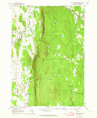 1963 South Mountain1964 Print · USGSAddison County's rural character is on display in the early sixties as the Green Mountains meet the valley floor. Researchers can trace family homesteads near New Haven Mills or locate ancestral sites at Munger Street Cem and Maple Cem.3 unique versions available
 - 1986 Map of Lake Champlain South
 1986 Lake Champlain South1986 Print · USGSIn the mid-1980s, the shores of Lake Champlain linked the Adirondack high peaks with the Vermont valley. Genealogists and researchers can trace the rail lines of the Delaware & Hudson RR or locate historic settlements like Mineville and Au Sable Forks.2 unique versions available
 - 1997 Map of South Mountain, 2000 Print
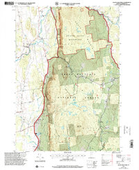 1997 South Mountain2000 Print · USGSVermont's Green Mountains and the fertile valley floor meet in this late-nineties survey of Addison County. Genealogists and hikers can trace old boundaries near West Lincoln, locate several rural burial grounds like Maple Cem, and find the Wilderness Entry Point for the Bristol Cliffs Wilderness.
 - 2012 Map of South Mountain, 2012 Print
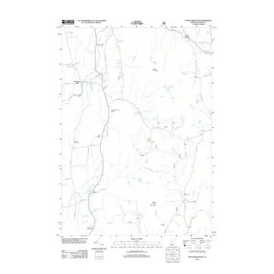 2012 South Mountain2012 Print · USGSAddison County's rural character is preserved in this early twenty-first-century survey of the New Haven River valley. Genealogists can locate family burial plots at Case Street Cem and Riverside Cem or explore the hamlets of West Lincoln and New Haven Mills.
 - 2015 Map of South Mountain, 2015 Print
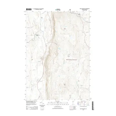 2015 South Mountain2015 Print · USGSIn the heart of the Green Mountains during the mid-2010s, this area shows a balance of valley settlements and protected forest. Genealogists can locate several burial sites including Maple Cem and Saint Therese Cem near the New Haven River.
 - 2018 Map of South Mountain, 2018 Print
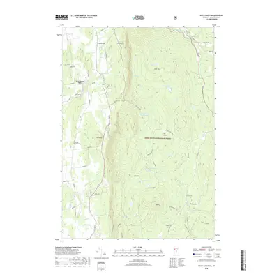 2018 South Mountain2018 Print · USGSThe foothills of the Green Mountains are shown in detail here during the late 2010s. Researchers can locate family landmarks like Munger Street Cem and Case Street Cem or trace the New Haven River past New Haven Mills.
 - 2021 Map of South Mountain, 2021 Print
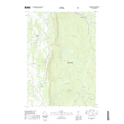 2021 South Mountain2021 Print · USGSThe eastern Green Mountains meet the valley floor in the 2020s, showing a landscape of high peaks and river-hugging hamlets. Trace family sites at New Haven Mills and West Lincoln, or locate rural cemeteries like Riverside Cem and Cushman Cem.
 - 2024 Map of South Mountain, 2024 Print
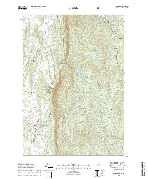 2024 South Mountain2024 Print · USGSCurrent Addison County geography meets traditional settlement patterns in this contemporary view of the Green Mountains. Researchers can locate rural landmarks like New Haven Mills and several family burial sites, including Case Street Cem and Riverside Cem.
End of results
Showing maps 1-14 of 14
Top cities near West Lincoln
- Middlebury historical maps
- Shelburne historical maps
- Waterbury historical maps
- Hinesburg historical maps
- Charlotte historical maps
- Ferrisburgh historical maps
See more
Frequently asked questions
- What are the different types of historical maps available for West Lincoln?
- What is the oldest map of West Lincoln?
- Where can I purchase historical maps of West Lincoln for my home or office?
- Where can I download high-res historical maps of West Lincoln?
- Are there historical topographic maps available for West Lincoln?
- Is there historical aerial imagery available for West Lincoln?
- Where are historical maps of West Lincoln sourced from?