Old Maps of Bread Loaf, Ripton for Academic Research
Study the evolution of Bread Loaf with 14 high-resolution historic maps. Whether you're teaching, researching, or modeling changes in land use, these maps provide essential visual documentation of urban, environmental, and geographic change.
- Analyze long-term change: Track patterns in development, transportation, and natural features.
- Ideal for environmental or urban studies: Support academic projects with primary historical map data.
- Use in the classroom or lab: Educators and researchers rely on these maps to bring historical context to life.
These maps are a powerful tool for teaching, research, and visualizing how Bread Loaf has changed over the decades.
Bread Loaf, Ripton maps
(14)- 1915 Map of Rochester, 1963 Print
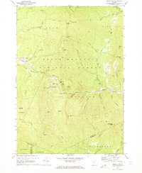
 1915 Rochester1963 Print · USGSThe Green Mountains in the early twentieth century were a landscape of remote hollow schools and narrow valley settlements. Genealogists and historians can trace old property lines and landmarks like the Williams Mine, Hancock Tunnel, and the Texas School.
 - 1917 Map of Rochester
 1917 Rochester1917 Print · USGSThe Green Mountains in the mid-1910s reveal a network of isolated valley settlements and high-altitude gaps. Genealogists and hikers can trace old mountain schools like Corner School and remote landmarks such as Bingo Camp and the Hancock Tunnel.5 unique versions available
 - 1950 Map of Glens Falls
 1950 Glens Falls1950 Print · USGSThe Adirondacks and the Green Mountains meet in this mid-century survey of the New York and Vermont borderlands. Researchers can trace the industrial rail corridors of the Rutland RR and Delaware & Hudson RR connecting Glens Falls, Rutland, and the shores of Lake George.
 - 1956 Map of Glens Falls, 1968 Print
 1956 Glens Falls1968 Print · USGSUpper New York and the Vermont mountains are captured here in the mid-fifties, showing the rugged rail-and-river network of the Northeast. Researchers can trace the paths of the Delaware and Hudson RR and Rutland RR as they wind through valley towns like Poultney and Whitehall.3 unique versions available
 - 1959 Map of Glens Falls
 1959 Glens Falls1959 Print · USGSUpper New York and Vermont are captured here during the late 1950s, a period of transition for these mountain communities. Researchers can trace the legacy of the region's river-and-rail economy through landmarks like Lake George, Saratoga Springs, and Killington Peak.2 unique versions available
 - 1964 Map of Glens Falls
 1964 Glens Falls1964 Print · USGSThe tri-state borderlands of New York, Vermont, and New Hampshire appear here in the mid-1960s. Researchers can trace the rail routes of the Rutland RR and find historic sites like Ticonderoga and Saratoga National Historical Park.
 - 1970 Map of Bread Loaf, 1973 Print
 1970 Bread Loaf1973 Print · USGSThe Green Mountains near Addison and Windsor counties come alive in the 1970s, showcasing a landscape defined by winter recreation and wilderness trails. Genealogists and researchers can trace the Long Trail past Bread Loaf and the Middlebury College Snow Bowl.3 unique versions available
 - 1985 Map of Rutland, 1988 Print
 1985 Rutland1988 Print · USGSThe Upper Valley of the mid-1980s comes to life along the winding Connecticut River as it divides the Green Mountain and Granite states. Historians can trace the industrial rail hubs of White River Junction and the paths of the Appalachian Trail and Long Trail.
 - 1997 Map of Bread Loaf, 2000 Print
 1997 Bread Loaf2000 Print · USGSThe Green Mountains of Addison and Windsor Counties are shown here at the close of the twentieth century, detailing a landscape of high peaks and deep wilderness. Researchers can locate remote landmarks like Worth Mountain Lodge, the Middlebury College Snow Bowl, and isolated mountain shelters along the Long Trail.
 - 2012 Map of Bread Loaf, 2012 Print
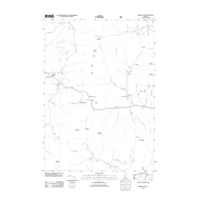 2012 Bread Loaf2012 Print · USGSCovers Bread Loaf, including Ripton, Hancock, and other nearby areas
 - 2015 Map of Bread Loaf, 2015 Print
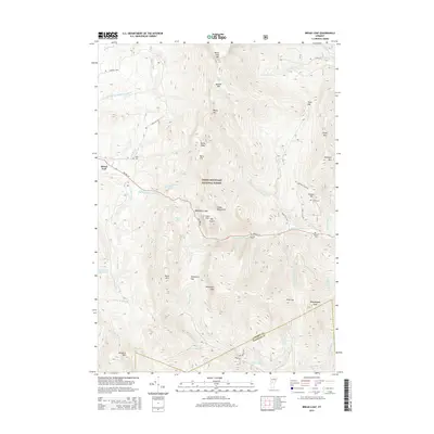 2015 Bread Loaf2015 Print · USGSCovers Bread Loaf, including Ripton, Hancock, and other nearby areas
 - 2018 Map of Bread Loaf, 2018 Print
 2018 Bread Loaf2018 Print · USGSCovers Bread Loaf, including Ripton, Hancock, and other nearby areas
 - 2021 Map of Bread Loaf, 2021 Print
 2021 Bread Loaf2021 Print · USGSCovers Bread Loaf, including Ripton, Hancock, and other nearby areas
 - 2024 Map of Bread Loaf, 2024 Print
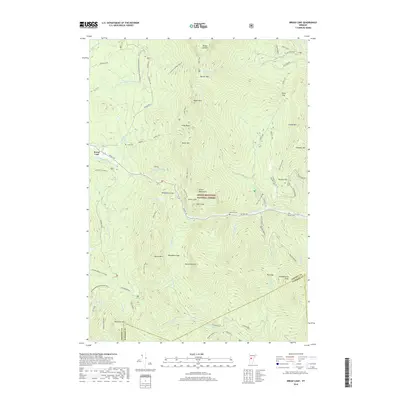
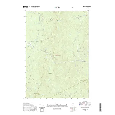
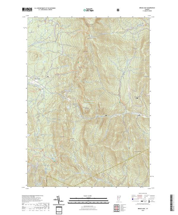 2024 Bread Loaf2024 Print · USGSCentral Vermont’s wilderness character is on full display in this modern survey of the Green Mountains. Researchers can locate remote burial sites like Kirby Cem and trace the original path of the Long Trl near Middlebury Gap.
End of results
Showing maps 1-14 of 14
Top cities near Bread Loaf
- Middlebury historical maps
- Northfield historical maps
- Brandon historical maps
- Ferrisburgh historical maps
- Warren historical maps
- Bristol historical maps
See more
Frequently asked questions
- What are the different types of historical maps available for Bread Loaf?
- What is the oldest map of Bread Loaf?
- Where can I purchase historical maps of Bread Loaf for my home or office?
- Where can I download high-res historical maps of Bread Loaf?
- Are there historical topographic maps available for Bread Loaf?
- Is there historical aerial imagery available for Bread Loaf?
- Where are historical maps of Bread Loaf sourced from?