2000s (21st Century) Maps of Colchester, Vermont
Explore 20 historic maps of Colchester from the 2000s (21st Century). These maps offer a rare glimpse into what life looked like during the 2000s — showing old roads, neighborhoods, homes, and landmarks that have changed or disappeared over time.
Whether you're researching your family's past, planning a metal detecting trip, or studying how Colchester's landscape evolved across the 2000s, these high-resolution maps are a powerful tool for exploring the history of this region.
- Focus on a specific era: All maps on this page are from the 2000s, giving you a focused view of this time period.
- See what’s changed: Compare century-old streets, trails, and buildings to today's modern landscape using overlays and satellite layers.
- Research with precision: Use these maps for genealogy, historical research, land use analysis, or educational projects.
- View, download, or print: Maps are fully viewable online in high resolution, and can be downloaded or printed for your own records.
Start exploring Colchester's history through authentic maps from the 2000s. This is your window into the past.
Colchester, VT maps
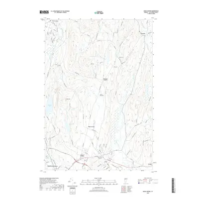
(20)- 2012 Map of Colchester, 2012 Print
 2012 Colchester2012 Print · USGSCovers Colchester, including Burlington, South Burlington, and other nearby areas
 - 2012 Map of Essex Center, 2012 Print
 2012 Essex Center2012 Print · USGSCovers Colchester, including Essex, Essex Junction, and other nearby areas
 - 2012 Map of Burlington, 2012 Print
 2012 Burlington2012 Print · USGSCovers Colchester, including Burlington, South Burlington, and other nearby areas
 - 2012 Map of Colchester Point, 2012 Print
 2012 Colchester Point2012 Print · USGSCovers Colchester, including Burlington, South Burlington, and other nearby areas
 - 2015 Map of Colchester Point, 2015 Print
 2015 Colchester Point2015 Print · USGSCovers Colchester, including Burlington, South Burlington, and other nearby areas
 - 2015 Map of Colchester, 2015 Print
 2015 Colchester2015 Print · USGSCovers Colchester, including Burlington, South Burlington, and other nearby areas
 - 2015 Map of Essex Center, 2015 Print
 2015 Essex Center2015 Print · USGSCovers Colchester, including Essex, Essex Junction, and other nearby areas
 - 2015 Map of Burlington, 2015 Print
 2015 Burlington2015 Print · USGSCovers Colchester, including Burlington, South Burlington, and other nearby areas
 - 2018 Map of Colchester, 2018 Print
 2018 Colchester2018 Print · USGSCovers Colchester, including Burlington, South Burlington, and other nearby areas
 - 2018 Map of Essex Center, 2018 Print
 2018 Essex Center2018 Print · USGSCovers Colchester, including Essex, Essex Junction, and other nearby areas
 - 2018 Map of Colchester Point, 2018 Print
 2018 Colchester Point2018 Print · USGSCovers Colchester, including Burlington, South Burlington, and other nearby areas
 - 2018 Map of Burlington, 2018 Print
 2018 Burlington2018 Print · USGSCovers Colchester, including Burlington, South Burlington, and other nearby areas
 - 2021 Map of Colchester Point, 2021 Print
 2021 Colchester Point2021 Print · USGSCovers Colchester, including Burlington, South Burlington, and other nearby areas
 - 2021 Map of Colchester, 2021 Print
 2021 Colchester2021 Print · USGSCovers Colchester, including Burlington, South Burlington, and other nearby areas
 - 2021 Map of Essex Center, 2021 Print
 2021 Essex Center2021 Print · USGSCovers Colchester, including Essex, Essex Junction, and other nearby areas
 - 2021 Map of Burlington, 2021 Print
 2021 Burlington2021 Print · USGSCovers Colchester, including Burlington, South Burlington, and other nearby areas
 - 2024 Map of Colchester, 2024 Print
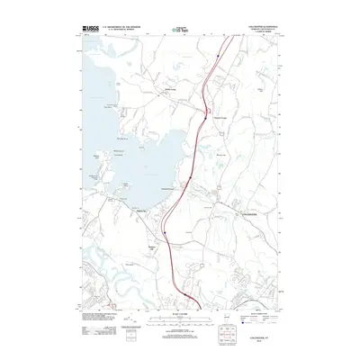
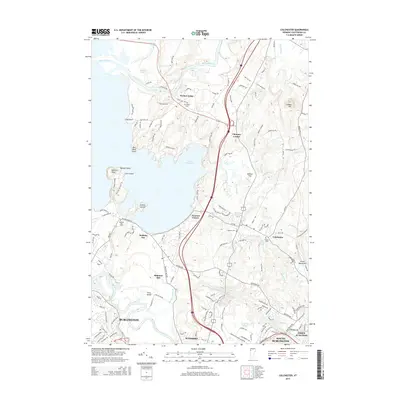
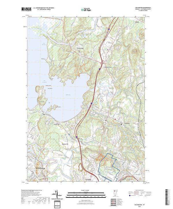 2024 Colchester2024 Print · USGSCoastal Chittenden County is captured here in the early twenty-first century as suburban growth meets the shores of Lake Champlain. Researchers can trace family history at the Village Cem and Champlain Cem, or locate the NG Ethan Allen AFB MTA near Shipman Hill.
 - 2024 Map of Burlington, 2024 Print
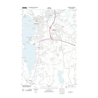
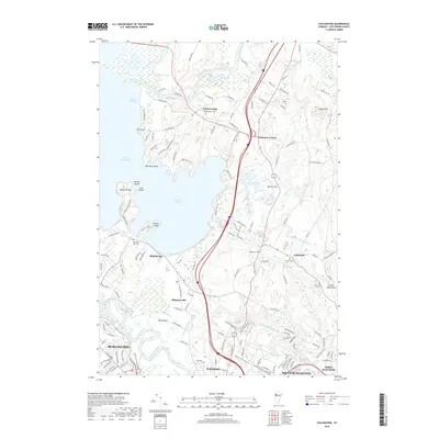
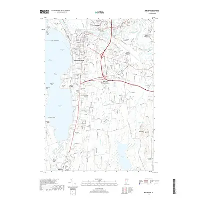
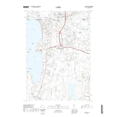
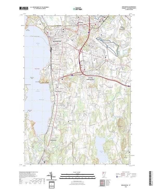 2024 Burlington2024 Print · USGSThe Lake Champlain shoreline and Winooski valley appear in high detail at this modern moment in Chittenden County. Researchers can trace the legacy of the area through landmarks like Greenmount Cem, the Vermont Railway, and the historic Fort Ethan Allen Cem.
 - 2024 Map of Essex Center, 2024 Print
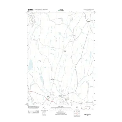
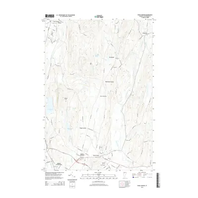
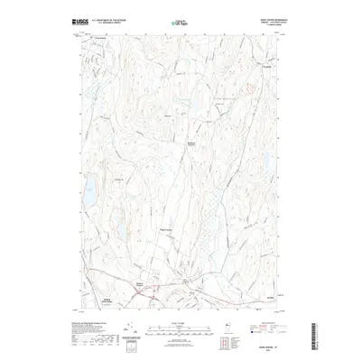
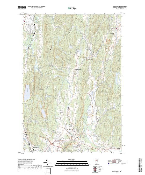 2024 Essex Center2024 Print · USGSChittenden County is shown here in its modern rural-suburban character, where the Green Mountains meet the Champlain Valley. Researchers can trace family history through sites like Saint Anns Cem and historic crossroads including Butlers Corners and Pages Corner.
 - 2024 Map of Colchester Point, 2024 Print
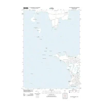
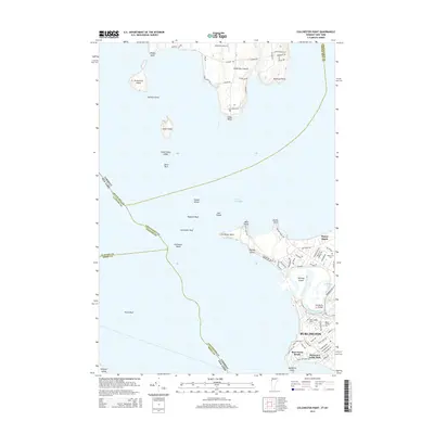
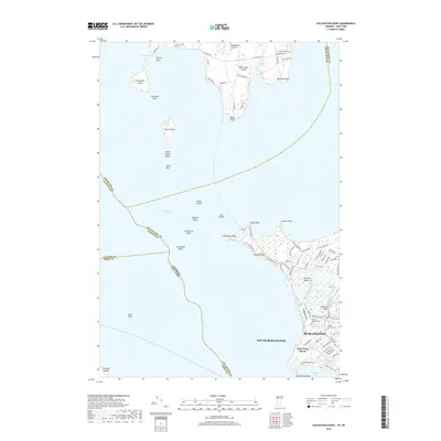
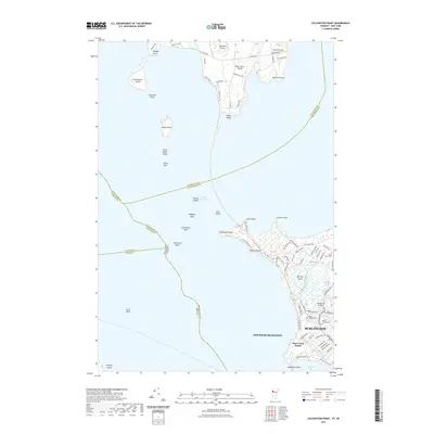
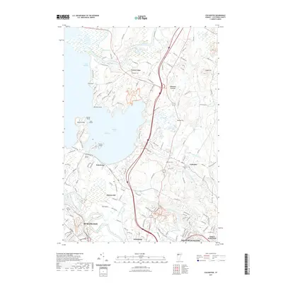
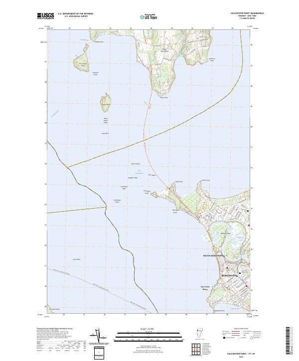 2024 Colchester Point2024 Print · USGSLake Champlain and the Winooski River delta are captured here in the contemporary era, showing the intersection of island life and suburban expansion. Genealogists and hikers can trace the Island Line Trl or locate family sites at Holy Cross Cem and Ohavi Zedek Cem.
End of results
Showing maps 1-20 of 20
Top cities near Colchester
- Burlington historical maps
- South Burlington historical maps
- Plattsburgh historical maps
- Plattsburgh historical maps
- Essex historical maps
- Essex Junction historical maps
See more
Top neighborhoods of Colchester
- Thayer Beach historical maps
- Chimney Corner historical maps
- Nourses Corner historical maps
- Shipman Hill historical maps
- Walnut Ledge historical maps
- Malletts Bay historical maps
Frequently asked questions
- What are the different types of historical maps available for Colchester?
- What is the oldest map of Colchester?
- Where can I purchase historical maps of Colchester for my home or office?
- Where can I download high-res historical maps of Colchester?
- Are there historical topographic maps available for Colchester?
- Is there historical aerial imagery available for Colchester?
- Where are historical maps of Colchester sourced from?