2010s Maps of Jericho, Vermont
Explore 12 historic maps of Jericho from the 2010s. These maps offer a rare glimpse into what life looked like during the 2010s — showing old roads, neighborhoods, homes, and landmarks that have changed or disappeared over time.
Whether you're researching your family's past, planning a metal detecting trip, or studying how Jericho's landscape evolved across the 2010s, these high-resolution maps are a powerful tool for exploring the history of this region.
- Focus on a specific era: All maps on this page are from the 2010s, giving you a focused view of this time period.
- See what’s changed: Compare century-old streets, trails, and buildings to today's modern landscape using overlays and satellite layers.
- Research with precision: Use these maps for genealogy, historical research, land use analysis, or educational projects.
- View, download, or print: Maps are fully viewable online in high resolution, and can be downloaded or printed for your own records.
Start exploring Jericho's history through authentic maps from the 2010s. This is your window into the past.
Jericho, VT maps
(12)- 2012 Map of Essex Junction, 2012 Print
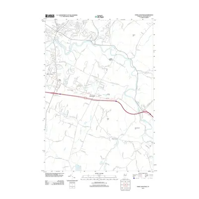 2012 Essex Junction2012 Print · USGSChittenden County in the early 2010s reveals a landscape of growing residential hubs and established industry along the Winooski River. Genealogists and local historians can trace family plots at Village Cem or locate community landmarks like Kirby Corner and Lake Iroquois.
 - 2012 Map of Richmond, 2012 Print
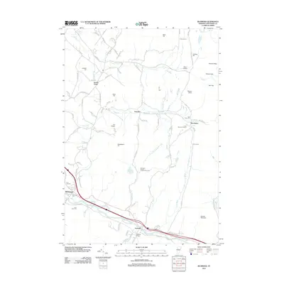 2012 Richmond2012 Print · USGSThe Chittenden County landscape in the early twenty-first century reveals a blend of river-valley commerce and mountain recreation. Genealogists and local historians can trace burial sites like Saint Marys Cem and follow the drainage of Snipe Island Brook toward Jonesville.
 - 2012 Map of Essex Center, 2012 Print
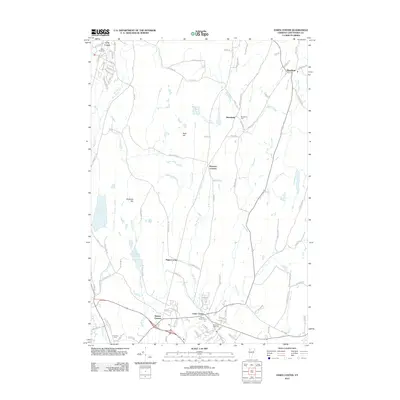 2012 Essex Center2012 Print · USGSChittenden County is seen here in the early twenty-first century, balancing its traditional village centers with expanding residential road networks. Genealogists can locate several burial grounds like Saint Anns Cem and trace water features from Colchester Pond to Browns River.
 - 2012 Map of Underhill, 2012 Print
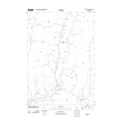 2012 Underhill2012 Print · USGSThe hills of Chittenden County come into focus in the early 2010s, showcasing a network of small settlements and mountain streams. Genealogists can trace burial sites from North Underhill Cem to Castle Cem near the banks of the Browns River.
 - 2015 Map of Richmond, 2015 Print
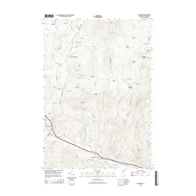 2015 Richmond2015 Print · USGSChittenden County’s rugged valley and mountain landscape is captured here in the mid-2010s, centered on the Winooski River corridor. Genealogists and local historians can trace burial sites like Old Village Cem or locate rural landmarks such as Edmond Bridge and The Cobble.
 - 2015 Map of Underhill, 2015 Print
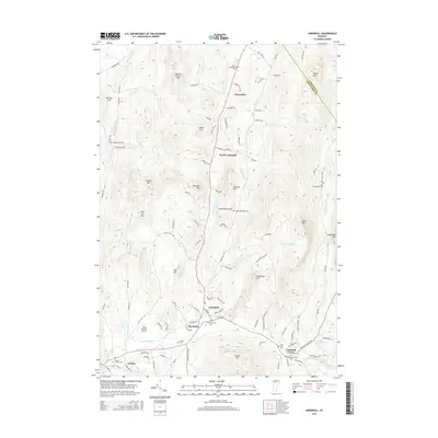 2015 Underhill2015 Print · USGSChittenden County's highlands are meticulously detailed here in the mid-2010s, showing the settled valleys of Underhill and Jericho. Genealogists can locate several historic burial sites, including the Irish Settlement Cem and Sand Hill Cem, set against the peaks of the Green Mountains.
 - 2015 Map of Essex Junction, 2015 Print
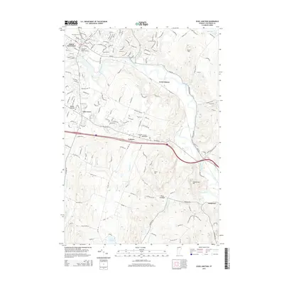 2015 Essex Junction2015 Print · USGSChittenden County at the start of the twenty-first century reveals a landscape shaped by the winding Winooski River and historic crossroads. Genealogists and local historians can trace burial sites like Morse Cem and Chittenden Cem or explore the geography of Kirby Corner and Fays Corner.
 - 2015 Map of Essex Center, 2015 Print
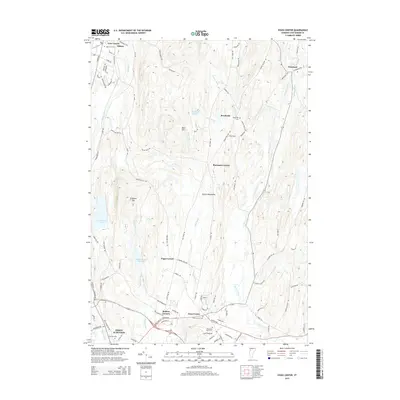 2015 Essex Center2015 Print · USGSChittenden County in the mid-2010s shows a landscape of crossroads hamlets and river valleys. Genealogists and historians can trace local family lineages through Mountain View Cem, Essex Center Cem, and smaller settlements like Butlers Corners and Pages Corner.
 - 2018 Map of Essex Center, 2018 Print
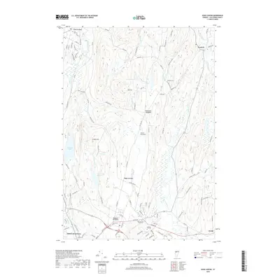 2018 Essex Center2018 Print · USGSThe Chittenden County suburbs meet the Vermont countryside in the late 2010s as development expands north from Essex Junction. Genealogists can trace family sites at Fairview Cem or Mountain View Cem while following the rural roads through Pages Corner and Westford.
 - 2018 Map of Essex Junction, 2018 Print
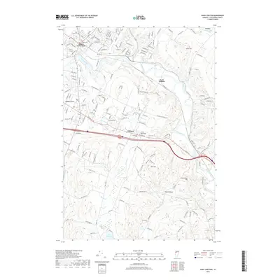 2018 Essex Junction2018 Print · USGSChittenden County’s shifting suburban and rural landscape comes into focus during this period of growth in the Green Mountains. Researchers can pinpoint long-standing local landmarks like the Williston Rd Cem, Pine Ridge School, and the settlement at North Williston.
 - 2018 Map of Underhill, 2018 Print
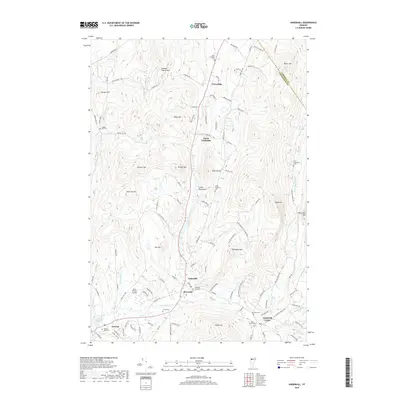 2018 Underhill2018 Print · USGSVermont's Green Mountain foothills are captured here in the late twenty-tens, showing the enduring character of the Browns River valley. Genealogists can trace family landmarks and burial sites like Irish Settlement Cem, Underhill Center, and Saint Thomas Cem.
 - 2018 Map of Richmond, 2018 Print
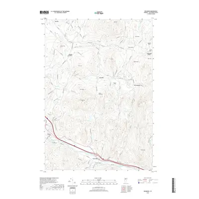 2018 Richmond2018 Print · USGSThe Winooski River valley and the Green Mountain foothills define this Vermont landscape as it appeared in the late 2010s. Researchers can trace local heritage through sites like Saint Mary's Cemetery, the Edmond Bridge crossing, and the settlement at Jonesville.
End of results
Showing maps 1-12 of 12
Top cities near Jericho
- Burlington historical maps
- South Burlington historical maps
- Colchester historical maps
- Essex historical maps
- Essex Junction historical maps
- Williston historical maps
See more
Top neighborhoods of Jericho
- Jericho Center historical maps
- Riverside historical maps
- Nashville historical maps
- Jericho historical maps
Frequently asked questions
- What are the different types of historical maps available for Jericho?
- What is the oldest map of Jericho?
- Where can I purchase historical maps of Jericho for my home or office?
- Where can I download high-res historical maps of Jericho?
- Are there historical topographic maps available for Jericho?
- Is there historical aerial imagery available for Jericho?
- Where are historical maps of Jericho sourced from?